How to get to Nextel Retail Store by bus?
Click on the bus route to see step by step directions with maps, line arrival times and updated time schedules.
From Springfield Mall, Fairfax County
53 minFrom Embassy Suites-Alexandria Old Town, Alexandria
37 minFrom Tanger Outlet National Harbor, Prince George's County
67 minFrom U.S. Naval Research Laboratory - NRL, Washington
109 minFrom Birchmere, Alexandria
63 minFrom Naval Research Lab, Washington
109 minFrom Shirlington, Arlington County
77 minFrom Hilton Alexandria Old Town, Alexandria
37 minFrom Lego Discovery Center Washington, D.C., Fairfax County
72 minFrom Navy Lodge, Washington
110 min
Bus stops near Nextel Retail Store in Fairfax County
Bus lines to Nextel Retail Store in Fairfax County
What are the closest stations to Nextel Retail Store?
The closest stations to Nextel Retail Store are:
- Fordson Rd @ Richmond Hwy is 151 yards away, 3 min walk.
- Fordson Rd @ Huntley Meadows Plz is 194 yards away, 3 min walk.
- Richmond Hwy @ Fordson Rd is 197 yards away, 3 min walk.
- Richmond Hwy @ Kings Village Rd is 611 yards away, 8 min walk.
- Richmond Hwy And Arlington Dr is 711 yards away, 9 min walk.
Which bus lines stop near Nextel Retail Store?
These bus lines stop near Nextel Retail Store: 161, 171, F1X.
What’s the nearest bus station to Nextel Retail Store in Fairfax County?
The nearest bus stations to Nextel Retail Store in Fairfax County are Fordson Rd @ Richmond Hwy, Fordson Rd @ Huntley Meadows Plz and Richmond Hwy @ Fordson Rd. The closest one is a 3 min walk away.
What time is the first bus to Nextel Retail Store in Fairfax County?
The 171 is the first bus that goes to Nextel Retail Store in Fairfax County. It stops nearby at 3:52 AM.
What time is the last bus to Nextel Retail Store in Fairfax County?
The 171 is the last bus that goes to Nextel Retail Store in Fairfax County. It stops nearby at 1:55 AM.
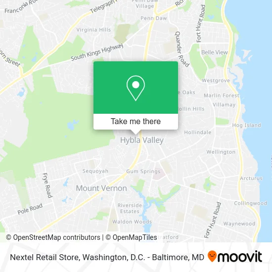
See Nextel Retail Store, Fairfax County, on the map
Public Transit to Nextel Retail Store in Fairfax County
Wondering how to get to Nextel Retail Store in Fairfax County? Moovit helps you find the best way to get to Nextel Retail Store with step-by-step directions from the nearest public transit station.
Moovit provides free maps and live directions to help you navigate through your city. View schedules, routes, timetables, and find out how long does it take to get to Nextel Retail Store in real time.
Looking for the nearest stop or station to Nextel Retail Store? Check out this list of stops closest to your destination: Fordson Rd @ Richmond Hwy; Fordson Rd @ Huntley Meadows Plz; Richmond Hwy @ Fordson Rd; Richmond Hwy @ Kings Village Rd; Richmond Hwy And Arlington Dr.
Bus: 161, 171, F1X, 162, 151, 159.
Want to see if there’s another route that gets you there at an earlier time? Moovit helps you find alternative routes or times. Get directions from and directions to Nextel Retail Store easily from the Moovit App or Website.
We make riding to Nextel Retail Store easy, which is why over 1.5 million users, including users in Fairfax County, trust Moovit as the best app for public transit. You don’t need to download an individual bus app or train app, Moovit is your all-in-one transit app that helps you find the best bus time or train time available.
For information on prices of bus and metro, costs and ride fares to Nextel Retail Store, please check the Moovit app.
Use the app to navigate to popular places including to the airport, hospital, stadium, grocery store, mall, coffee shop, school, college, and university.
Nextel Retail Store Address: 7696 Richmond Hwy Alexandria, VA 22306 street in Fairfax County
- America's Best Wings,
- Poth,
- EVgo,
- COLD STONE CREAMERY,
- Patio Door Locksmith,
- Coinstar,
- Carpet Cleaning Made in America Carpet Cleaning,
- Capital Facility Commercial and Residential Cleaning.,
- Creationz by Danni,
- Honeygrow,
- Mela Suga Wax & Glo,
- Muse Hair,
- Hobby Home Care,
- Amazon Locker-Bolero,
- Tenderfix by Noah Schnapp,
- Mount Vernon VA Rotary Club,
- Chase Consulting Group,
- Go Green Carpet Cleaners Carpet Cleaning,
- Nexus Prime,
- Rainbow Shops
Places Near Nextel Retail Store (Fairfax County)
- Westfield Montgomery Mall, Montgomery County,
- National Mall, Washington,
- Washington National Cathedral, Washington,
- National Museum of African American History and Culture, Washington,
- Museum Of The Bible, Washington,
- Sibley Memorial Hospital, Washington,
- M&T Bank Stadium, Baltimore,
- PG Mall, Prince George's County,
- Washington DC VA Medical Center, Washington,
- National Zoo, Washington,
- The Anthem, Washington,
- Pennsylvania Ave NW (3rd st and pennsylvania), Washington,
- Capital One Arena, Washington,
- Amazon Hq2, Arlington County,
- Camden Yards, Baltimore,
- Marriott Marquis Washington, DC, Washington,
- Warner Theatre, Washington,
- Georgetown, Washington,
- Basilica of the National Shrine, Washington,
- Rock Creek Tennis Center, Washington
How to get to popular places in Washington, D.C. - Baltimore, MD with public transit
Get around Fairfax County by public transit!
Traveling around Fairfax County has never been so easy. See step by step directions as you travel to any attraction, street or major public transit station. View bus and train schedules, arrival times, service alerts and detailed routes on a map, so you know exactly how to get to anywhere in Fairfax County.
When traveling to any destination around Fairfax County use Moovit's Live Directions with Get Off Notifications to know exactly where and how far to walk, how long to wait for your line, and how many stops are left. Moovit will alert you when it's time to get off — no need to constantly re-check whether yours is the next stop.
Wondering how to use public transit in Fairfax County or how to pay for public transit in Fairfax County? Moovit public transit app can help you navigate your way with public transit easily, and at minimum cost. It includes public transit fees, ticket prices, and costs. Looking for a map of Fairfax County public transit lines? Moovit public transit app shows all public transit maps in Fairfax County with all Bus, Train, Metro, Light Rail and Ferry routes and stops on an interactive map.
Washington, D.C. - Baltimore, MD has 5 transit type(s), including: Bus, Train, Metro, Light Rail and Ferry, operated by several transit agencies, including WMATA, Montgomery County Ride On, Fairfax Connector, TheBus, PRTC, DASH - Alexandria, Arlington Transit (ART), RTA of Central Maryland, MDOT MTA, MDOT MTA Light RailLink, MDOT MTA Commuter Bus, MDOT MTA Local Bus, FXBGO!, Virginia Railway Express (VRE) and MARC