How to get to Nike Ate by bus?
Click on the bus route to see step by step directions with maps, line arrival times and updated time schedules.
From Estación Miguel Grau
43 minFrom Av. San Luis
47 minFrom Flora Tristán Cuadra 1
30 minFrom Av wiesse paradero 15
62 minFrom Clínica Montefiori
26 minFrom Universidad Peruana Unión - UPeU
42 minFrom Avenida Miguel Grau
42 minFrom ZOOLOGICO DE HUACHIPA
64 minFrom Salamanca
41 minFrom Av. Canada / San Luis
33 min
How to get to Nike Ate by metro?
Click on the metro route to see step by step directions with maps, line arrival times and updated time schedules.
Metro station near Nike Ate
- Estación Colectora Industrial, 39 min walk,VIEW
Bus lines to Nike Ate
- 1221, Ramiro Priale (Ate) - Mexico (Lince) ,VIEW
- 1341, Santa Anita - Lurigancho ,VIEW
- 1359, Ate - Santa Anita,VIEW
- 209, San Marcos (San Miguel) - Tagore (Ate),VIEW
- 1064, San Juan De Lurigancho - Lurigancho,VIEW
- 1066, Lima - Ate,VIEW
- 1068, Lima - Ate,VIEW
- 1069, Chosica - Lima,VIEW
- 1073, Ate - Miraflores - Ate,VIEW
- 1075, Cajamrquilla (Lurigancho) - Gamarra (La Victoria) ,VIEW
- 1080, Ate - La Victoria - Ate,VIEW
- 1081, Ate - La Victoria - Ate,VIEW
- 1085, Plaza Bolognesi (Lima) - Santa Eulalia (Chosica) ,VIEW
- 1218, Faucett (San Miguel) - Ricardo Palma (Chosica),VIEW
- 1222, Jesús María - Lurigancho,VIEW
- 1224, Jesús María - Ate,VIEW
- 1227, Tiwinza (Callao) - Ceres (Ate),VIEW
- 1261, Bertello (Callao) - Santa Clara (Ate),VIEW
- 1288, Lima - Ate,VIEW
- 1319, Ricardo Palma (Chosica) - Faucett (San Miguel),VIEW
What are the closest stations to Nike Ate?
The closest stations to Nike Ate are:
- Tagore is 95 meters away, 2 min walk.
- Grifo Tokio is 278 meters away, 4 min walk.
- Estación Colectora Industrial is 3030 meters away, 39 min walk.
Which bus lines stop near Nike Ate?
These bus lines stop near Nike Ate: 1085, 1178, 1261, 1341, 1353, 1476, 209, CR25.
Which metro line stops near Nike Ate?
LINEA 2 (Vía Evitamiento - Mercado Santa Anita)
What’s the nearest bus station to Nike Ate?
The nearest bus station to Nike Ate is Tagore. It’s a 2 min walk away.
What time is the first metro to Nike Ate?
The LINEA 2 is the first metro that goes to Nike Ate. It stops nearby at 6:00 AM.
What time is the last metro to Nike Ate?
The LINEA 2 is the last metro that goes to Nike Ate. It stops nearby at 11:02 PM.
What time is the first bus to Nike Ate?
The 1218 is the first bus that goes to Nike Ate. It stops nearby at 3:01 AM.
What time is the last bus to Nike Ate?
The 1319 is the last bus that goes to Nike Ate. It stops nearby at 3:59 AM.
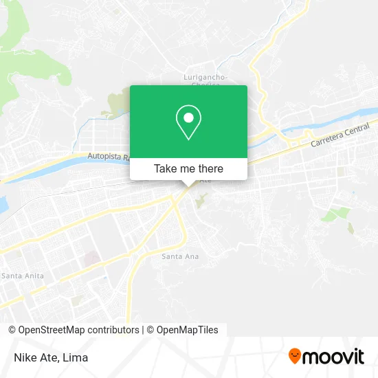
See Nike Ate on the map
Public Transportation to Nike Ate
Wondering how to get to Nike Ate? Moovit helps you find the best way to get to Nike Ate with step-by-step directions from the nearest public transit station.
Moovit provides free maps and live directions to help you navigate through your city. View schedules, routes, timetables, and find out how long does it take to get to Nike Ate in real time.
Looking for the nearest stop or station to Nike Ate? Check out this list of stops closest to your destination: Tagore; Grifo Tokio; Estación Colectora Industrial.
Bus: 1085, 1178, 1261, 1341, 1353, 1476, 209, CR25, 1221, 1359, 1064, 1066, 1068, 1069, 1281, 1488, 1357.Metro: LINEA 2.
Want to see if there’s another route that gets you there at an earlier time? Moovit helps you find alternative routes or times. Get directions from and directions to Nike Ate easily from the Moovit App or Website.
We make riding to Nike Ate easy, which is why over 1.5 million users, including users in Ate, trust Moovit as the best app for public transit. You don’t need to download an individual bus app or train app, Moovit is your all-in-one transit app that helps you find the best bus time or train time available.
For information on prices of bus and metro, costs and ride fares to Nike Ate, please check the Moovit app.
Use the app to navigate to popular places including to the airport, hospital, stadium, grocery store, mall, coffee shop, school, college, and university.
Nike Ate Address: Avenida Nicolás Ayllón 5574 Villa Vitarte, 15494 Ate street in Ate
- Banco Azteca,
- Medical center,
- Villa Lents,
- Optica Carranza,
- Kaita-Naturista,
- Botica Apóstol Santiago,
- multiRed,
- Clínica Nobel Medical Center,
- Policlinico Medical,
- Fastpc,
- Goblin Miner,
- Santa Ines 2 Etapa,
- Plaza Boulevard,
- Consultorio Obstétrico Santa Rosa,
- Bionaturista,
- Movistar,
- Promedic,
- Sauna Baños a Vapor,
- Vidrieria Huancayo,
- Av.Carretera Central 6.5km tienda B3 Ate Vitarte
Places Near Nike Ate
- Jockey Plaza, Santiago D,
- Parque Kennedy, Miraflores,
- Gamarra,
- Mall Del Sur,
- Av. Salaverry, Jesus Mari,
- av arequipa, Lima,
- Plaza San Miguel, San Miguel,
- Parque de las Leyendas, San Miguel,
- Av. La Marina, San Miguel,
- Hospital Edgardo Rebagliati Martins, Jesus Mari,
- Miraflores, Miraflores,
- Barranco, Barranco,
- Circuito Mágico Del Agua, Lima,
- Aeropuerto Internacional Jorge Chávez, Ventanilla,
- Av. Abancay, Lima,
- Pontificia Universidad Católica del Perú - PUCP, San Miguel,
- Paradero Av.Brasil,
- Larcomar, Miraflores,
- Real Plaza Puruchuco, Ate,
- Centro Comercial Plaza Norte, Independen
How to get to popular places in Lima with public transit
Get around Ate by public transit!
Traveling around Ate has never been so easy. See step by step directions as you travel to any attraction, street or major public transit station. View bus and train schedules, arrival times, service alerts and detailed routes on a map, so you know exactly how to get to anywhere in Ate.
When traveling to any destination around Ate use Moovit's Live Directions with Get Off Notifications to know exactly where and how far to walk, how long to wait for your line, and how many stops are left. Moovit will alert you when it's time to get off — no need to constantly re-check whether yours is the next stop.
Wondering how to use public transit in Ate or how to pay for public transit in Ate? Moovit public transit app can help you navigate your way with public transit easily, and at minimum cost. It includes public transit fees, ticket prices, and costs. Looking for a map of Ate public transit lines? Moovit public transit app shows all public transit maps in Ate with all Bus, Metro and Ferry routes and stops on an interactive map.
Lima has 3 transit type(s), including: Bus, Metro and Ferry, operated by several transit agencies, including Metro de Lima Línea 2 , Metro de Lima, Corredor Rojo, Metropolitano, Metropolitano - Alimentadores, Corredor Morado, Corredor Azul, Rutas Tradicionales, Transportes y Servicios La Esperanza S.A., Las Flores S.A., Virgen de la Asunción S.A., Consorcio HAM, Transportes y Service Canadá S.A., ETUL4SA and ETUCHISA