How to get to Noah's Ark by bus?
Click on the bus route to see step by step directions with maps, line arrival times and updated time schedules.
From E Thompson Rd / S Shelby St, Indianapolis City (Balance)
55 minFrom Meijer, Avon
51 minFrom Global Wireless, Indianapolis City (Balance)
50 minFrom Urgent Dental Center Linwood, Indianapolis City (Balance)
43 minFrom Big Skee's Grill & Variety, Indianapolis City (Balance)
57 minFrom Hinkle Fieldhouse, Indianapolis City (Balance)
70 minFrom Indianapolis, Indianapolis City (Balance)
43 minFrom Lot, Indianapolis City (Balance)
35 minFrom Jake's Locksmith Shop, Indianapolis City (Balance)
34 minFrom Numbers Count, Indianapolis City (Balance)
60 min
Bus stop near Noah's Ark in Indianapolis City (Balance)
- Washington St & Warman Ave, 8 min walk,VIEW
Bus lines to Noah's Ark in Indianapolis City (Balance)
- 8, Shortridge Rd,VIEW
What are the closest stations to Noah's Ark?
The closest stations to Noah's Ark are:
- Washington St & Warman Ave is 664 yards away, 8 min walk.
Which bus lines stop near Noah's Ark?
These bus lines stop near Noah's Ark: 10, 8.
What’s the nearest bus station to Noah's Ark in Indianapolis City (Balance)?
The nearest bus station to Noah's Ark in Indianapolis City (Balance) is Washington St & Warman Ave. It’s a 8 min walk away.
What time is the first bus to Noah's Ark in Indianapolis City (Balance)?
The 8 is the first bus that goes to Noah's Ark in Indianapolis City (Balance). It stops nearby at 5:26 AM.
What time is the last bus to Noah's Ark in Indianapolis City (Balance)?
The 8 is the last bus that goes to Noah's Ark in Indianapolis City (Balance). It stops nearby at 12:28 AM.
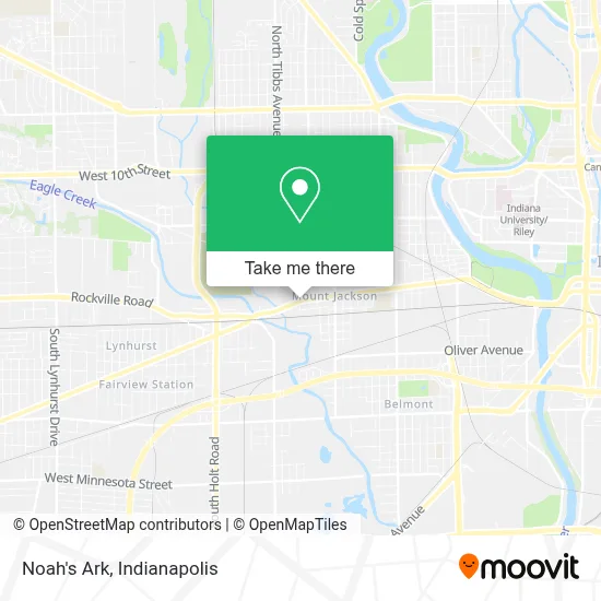
See Noah's Ark, Indianapolis City (Balance), on the map
Public Transit to Noah's Ark in Indianapolis City (Balance)
Wondering how to get to Noah's Ark in Indianapolis City (Balance)? Moovit helps you find the best way to get to Noah's Ark with step-by-step directions from the nearest public transit station.
Moovit provides free maps and live directions to help you navigate through your city. View schedules, routes, timetables, and find out how long does it take to get to Noah's Ark in real time.
Looking for the nearest stop or station to Noah's Ark? Check out this list of stops closest to your destination: Washington St & Warman Ave.
Bus: 10, 8.
Want to see if there’s another route that gets you there at an earlier time? Moovit helps you find alternative routes or times. Get directions from and directions to Noah's Ark easily from the Moovit App or Website.
We make riding to Noah's Ark easy, which is why over 1.5 million users, including users in Indianapolis City (Balance), trust Moovit as the best app for public transit. You don’t need to download an individual bus app or train app, Moovit is your all-in-one transit app that helps you find the best bus time or train time available.
For information on prices of bus, costs and ride fares to Noah's Ark, please check the Moovit app.
Use the app to navigate to popular places including to the airport, hospital, stadium, grocery store, mall, coffee shop, school, college, and university.
Noah's Ark Address: FloodedStreets street in Indianapolis City (Balance)
- Luckmann Industries,
- Meadow Tree Service,
- Tornado Bus Company,
- 1899 Events,
- Vida Divina GPS Staffing,
- Iglesia Uncion del Espiritu Santo,
- Hoosier 24hr Lockout Service,
- Central Green Sports Complex - Indy Parks and Recreation,
- Barber Bullee 2u,
- smart Repair Mechanic,
- Pete's Body Shop,
- Midwest Cycle Repair (Midwest Moped & Atv Sales),
- Oscar Garcia,
- El Taco Veloz of Indiana,
- Jackelin Multiple Services,
- Twin Jays Lounge,
- Cessas Auto Parts for Less,
- Evelyn Beauty Salon (Evelyn's Beauty Shop),
- 2751 Bertha St Parking,
- Pauls Auto Radiator
Places Near Noah's Ark (Indianapolis City (Balance))
- Indianapolis Motor Speedway, Speedway,
- Eskenazi Hospital, Indianapolis City (Balance),
- Train Ride At Castleton Mall, Indianapolis City (Balance),
- St. Vincent Hospital - Indianapolis, Indianapolis City (Balance),
- Methodist Hospital of Indianapolis, Indianapolis City (Balance),
- Indiana Convention Center, Indianapolis City (Balance),
- Indianapolis Airport Zone 2, Indianapolis City (Balance),
- Castleton Square Mall, Indianapolis,
- I-465 / I-65 Interchange, Indianapolis City (Balance),
- Indiana, Indianapolis City (Balance),
- Plainfield, IN, Plainfield,
- St. Vincent entrance #1, Indianapolis City (Balance),
- I U Health Methodist Hospital, Indianapolis City (Balance),
- Lilly Corporate Center (Eli Lilly & Co), Indianapolis City (Balance),
- 119 W 19th St Parking, Indianapolis City (Balance),
- Lucas Oil Stadium, Indianapolis City (Balance),
- Gainbridge Fieldhouse, Indianapolis City (Balance),
- Cotter's Massage Parlor With Happy Endings, Indianapolis City (Balance),
- THE BALT, Indianapolis City (Balance),
- Jersey Barn, Indianapolis City (Balance)
How to get to popular places in Indianapolis with public transit
Get around Indianapolis City (Balance) by public transit!
Traveling around Indianapolis City (Balance) has never been so easy. See step by step directions as you travel to any attraction, street or major public transit station. View bus and train schedules, arrival times, service alerts and detailed routes on a map, so you know exactly how to get to anywhere in Indianapolis City (Balance).
When traveling to any destination around Indianapolis City (Balance) use Moovit's Live Directions with Get Off Notifications to know exactly where and how far to walk, how long to wait for your line, and how many stops are left. Moovit will alert you when it's time to get off — no need to constantly re-check whether yours is the next stop.
Wondering how to use public transit in Indianapolis City (Balance) or how to pay for public transit in Indianapolis City (Balance)? Moovit public transit app can help you navigate your way with public transit easily, and at minimum cost. It includes public transit fees, ticket prices, and costs. Looking for a map of Indianapolis City (Balance) public transit lines? Moovit public transit app shows all public transit maps in Indianapolis City (Balance) with all bus routes and stops on an interactive map.
Indianapolis has 1 transit type(s), including: bus, operated by several transit agencies, including IndyGo, FlixBus-us and Greyhound-us