How to get to Normal by bus?
Click on the bus route to see step by step directions with maps, line arrival times and updated time schedules.
From Hôpital de Poissy, Poissy
40 minFrom Bois D'Arcy, Versailles
25 minFrom Chambourcy, Chambourcy
92 minFrom Camp militaire de Frileuse, Beynes
50 minFrom Orgeval, Orgeval
51 minFrom Guyancourt, Guyancourt
57 minFrom Parly 2, Le Chesnay
54 minFrom Clinique de L'Europe, Le Port-Marly
84 minFrom Le Chesnay, Le Chesnay
76 minFrom Technocentre Renault, Guyancourt
74 min
How to get to Normal by train?
Click on the train route to see step by step directions with maps, line arrival times and updated time schedules.
Bus stops near Normal in Plaisir
Train station near Normal in Plaisir
- Plaisir - Les Clayes, 11 min walk,VIEW
Bus lines to Normal in Plaisir
What are the closest stations to Normal?
The closest stations to Normal are:
- Henri Barbusse is 87 meters away, 2 min walk.
- Ida Nudel is 334 meters away, 5 min walk.
- Les Dames is 547 meters away, 8 min walk.
- Léon Blum is 665 meters away, 9 min walk.
- Centre Commercial Grand-Plaisir is 777 meters away, 10 min walk.
- Plaisir - Les Clayes is 799 meters away, 11 min walk.
Which bus lines stop near Normal?
These bus lines stop near Normal: 5102, 5111.
Which train line stops near Normal?
N (Paris-Montparnasse)
What’s the nearest train station to Normal in Plaisir?
The nearest train station to Normal in Plaisir is Plaisir - Les Clayes. It’s a 11 min walk away.
What’s the nearest bus station to Normal in Plaisir?
The nearest bus station to Normal in Plaisir is Henri Barbusse. It’s a 2 min walk away.
What time is the first train to Normal in Plaisir?
The N is the first train that goes to Normal in Plaisir. It stops nearby at 5:11 AM.
What time is the last train to Normal in Plaisir?
The N is the last train that goes to Normal in Plaisir. It stops nearby at 11:05 PM.
What time is the first bus to Normal in Plaisir?
The N160 is the first bus that goes to Normal in Plaisir. It stops nearby at 3:54 AM.
What time is the last bus to Normal in Plaisir?
The N160 is the last bus that goes to Normal in Plaisir. It stops nearby at 2:39 AM.
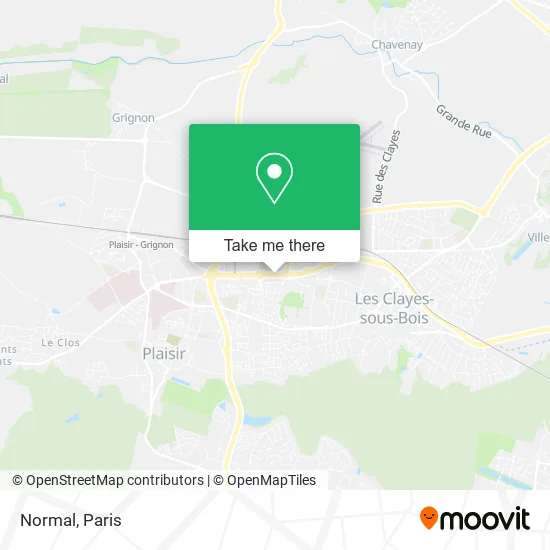
See Normal, Plaisir, on the map
Public Transit to Normal in Plaisir
Wondering how to get to Normal in Plaisir? Moovit helps you find the best way to get to Normal with step-by-step directions from the nearest public transit station.
Moovit provides free maps and live directions to help you navigate through your city. View schedules, routes, timetables, and find out how long does it take to get to Normal in real time.
Looking for the nearest stop or station to Normal? Check out this list of stops closest to your destination: Henri Barbusse; Ida Nudel; Les Dames; Léon Blum; Centre Commercial Grand-Plaisir; Plaisir - Les Clayes.
Bus: 5102, 5111, 5289, 5296, 5101, 5199, 5183.Train: N.
Want to see if there’s another route that gets you there at an earlier time? Moovit helps you find alternative routes or times. Get directions from and directions to Normal easily from the Moovit App or Website.
We make riding to Normal easy, which is why over 1.5 million users, including users in Plaisir, trust Moovit as the best app for public transit. You don’t need to download an individual bus app or train app, Moovit is your all-in-one transit app that helps you find the best bus time or train time available.
For information on prices of bus and train, costs and ride fares to Normal, please check the Moovit app.
Use the app to navigate to popular places including to the airport, hospital, stadium, grocery store, mall, coffee shop, school, college, and university.
Normal Address: 1170 Avenue de Saint-Germain 78370 Plaisir street in Plaisir
- Tribeca - Mon Grand Plaisir,
- S a J,
- Zara,
- Caisse d'Épargne,
- H&M,
- Old Wild West - Plaisir,
- Etam,
- Clopinette,
- Darty,
- Le Champ Eolien des Rochers,
- Ferme Eolienne de Hauteville 2,
- Ferme Eolienne de Corpe,
- Norisko,
- Besson chaussures,
- KFC,
- Decathlon,
- Decathlon,
- IKEA Restaurant & Café,
- IKEA,
- Sortie Ikéa
Places Near Normal (Plaisir)
- Hôpital Necker, Paris,
- Fondation Louis Vuitton, Paris,
- Institut Curie, Paris,
- Marché Saint-Pierre, Paris,
- Centre Hospitalier des 15/20, Paris,
- 29 Rue Manin, Paris,
- Galeries Lafayette Haussmann, Paris,
- Créteil Soleil, Creteil,
- Hôpital Beaujon, Clichy,
- Gare Routière Flixbus, Paris,
- Hôpital Saint-Joseph, Paris,
- Hôpital Pitié Salpêtrière, Paris,
- Hopital Lariboisière, Paris,
- Galeries Lafayette, Paris,
- Théâtre Mogador, Paris,
- Hôpital de la Pitié-Salpêtrière, Paris,
- Hôpital Henri Mondor, Creteil,
- Hopital Foch, Suresnes,
- Atelier Des Lumieres, Paris,
- Hôpital Cochin, Paris
How to get to popular places in Paris with public transit
Get around Plaisir by public transit!
Traveling around Plaisir has never been so easy. See step by step directions as you travel to any attraction, street or major public transit station. View bus and train schedules, arrival times, service alerts and detailed routes on a map, so you know exactly how to get to anywhere in Plaisir.
When traveling to any destination around Plaisir use Moovit's Live Directions with Get Off Notifications to know exactly where and how far to walk, how long to wait for your line, and how many stops are left. Moovit will alert you when it's time to get off — no need to constantly re-check whether yours is the next stop.
Wondering how to use public transit in Plaisir or how to pay for public transit in Plaisir? Moovit public transit app can help you navigate your way with public transit easily, and at minimum cost. It includes public transit fees, ticket prices, and costs. Looking for a map of Plaisir public transit lines? Moovit public transit app shows all public transit maps in Plaisir with all Bus, Train, Metro, Light Rail, RER, Funicular and Gondola routes and stops on an interactive map.
Paris has 7 transit type(s), including: Bus, Train, Metro, Light Rail, RER, Funicular and Gondola, operated by several transit agencies, including RATP, RER, RER Bus de remplacement, Train, Train Bus de remplacement, Tramway Bus de remplacement, TER, ADP, Magical Shuttle, Argenteuil - Boucles de Seine, Autocars Dominique, Bièvre, Brie et 2 Morin, Le Bus - C.C. du Clermontois and Cœur d’Essonne