Directions to North Decatur DMV (North Las Vegas) with public transportation
The following transit lines have routes that pass near North Decatur DMV
 Bus: 103.
How to get to North Decatur DMV by bus?
Click on the bus route to see step by step directions with maps, line arrival times and updated time schedules.
From Centenial High School, Las Vegas
69 minFrom Medical Building @ 7200 Cathedral Rock, Las Vegas
56 minFrom Somerset Academy Losee, North Las Vegas
68 minFrom Circus Circus, Las Vegas
56 minFrom Mojave High School, North Las Vegas
49 minFrom Red Rock, Las Vegas
55 minFrom Jones @ Smoke Ranch (N), Las Vegas
55 minFrom Hobby Lobby, Las Vegas
53 minFrom N Tenaya Way / Cathedral Rock Dr, Las Vegas
51 minFrom Raising Cane's (Raising Canes Craig Road), North Las Vegas
50 min
Bus stop near North Decatur DMV in North Las Vegas
- Sb Decatur After Elkhorn, 5 min walk,VIEW
Bus lines to North Decatur DMV in North Las Vegas
- 103, 103b Decatur Southbound (Ends at Sunset),VIEW
What are the closest stations to North Decatur DMV?
The closest stations to North Decatur DMV are:
- Sb Decatur After Elkhorn is 334 yards away, 5 min walk.
Which bus line stops near North Decatur DMV?
103 (103b Decatur Northbound)
What’s the nearest bus station to North Decatur DMV in North Las Vegas?
The nearest bus station to North Decatur DMV in North Las Vegas is Sb Decatur After Elkhorn. It’s a 5 min walk away.
What time is the first bus to North Decatur DMV in North Las Vegas?
The 103 is the first bus that goes to North Decatur DMV in North Las Vegas. It stops nearby at 3:17 AM.
What time is the last bus to North Decatur DMV in North Las Vegas?
The 103 is the last bus that goes to North Decatur DMV in North Las Vegas. It stops nearby at 3:21 AM.
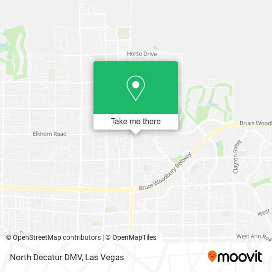
See North Decatur DMV, North Las Vegas, on the map
Public Transit to North Decatur DMV in North Las Vegas
Wondering how to get to North Decatur DMV in North Las Vegas? Moovit helps you find the best way to get to North Decatur DMV with step-by-step directions from the nearest public transit station.
Moovit provides free maps and live directions to help you navigate through your city. View schedules, routes, timetables, and find out how long does it take to get to North Decatur DMV in real time.
Looking for the nearest stop or station to North Decatur DMV? Check out this list of stops closest to your destination: Sb Decatur After Elkhorn.
Bus: 103.
Want to see if there’s another route that gets you there at an earlier time? Moovit helps you find alternative routes or times. Get directions from and directions to North Decatur DMV easily from the Moovit App or Website.
We make riding to North Decatur DMV easy, which is why over 1.7 million users, including users in North Las Vegas, trust Moovit as the best app for public transit. You don’t need to download an individual bus app or train app, Moovit is your all-in-one transit app that helps you find the best bus time or train time available.
For information on prices of bus, costs and ride fares to North Decatur DMV, please check the Moovit app.
Use the app to navigate to popular places including to the airport, hospital, stadium, grocery store, mall, coffee shop, school, college, and university.
North Decatur DMV Address: 7170 N Decatur Blvd North Las Vegas, NV 89131 street in North Las Vegas
- Galaxy Park,
- Night Sky St & Vibrant Star Ave,
- Orion's Belt,
- Costco Wholesale,
- Walmart Supercenter,
- Best Buy,
- Flowerpot St & Water Fern Ave,
- Area 51,
- Ulta,
- Target,
- Ross Dress for Less,
- Aliante Casino and Hotel Lobby,
- WinCo Foods,
- Aliante Casino,
- Aliante Casino + Hotel,
- Store,
- Aliante Marketplace,
- Antioch Community Services,
- Kilgores Rocks Ave & Slate Falls St,
- Lied Stem Academy
Places Near North Decatur DMV (North Las Vegas)
- The Palms Casino Resort, Paradise,
- Gold & Silver Pawn Shop, Las Vegas,
- The Neon Museum, Las Vegas,
- Meow Wolf - Las Vegas (Meow Wolf's Omega Mart), Las Vegas,
- Allegiant Stadium, Paradise,
- Zak Bagans Haunted Museum, Las Vegas,
- Arte Museum Las Vegas, Paradise,
- Walmart, Las Vegas,
- Welcome To Fabulous Las Vegas Sign, Paradise,
- The Deuce Bus Stop at Fremont St, Las Vegas,
- Omega Mart, Las Vegas,
- Lee Canyon, Las Vegas,
- Walmart Supercenter, Las Vegas,
- Koolsville Tattoos, Las Vegas,
- Las Vegas South Premium Outlets, Enterprise,
- Las Vegas North Premium Outlets, Las Vegas,
- Las Vegas Premium Outlets-North, Enterprise,
- Town Square, Enterprise,
- Area15, Las Vegas,
- Trump International Hotel Las Vegas, Paradise
How to get to popular places in Las Vegas with public transit
Get around North Las Vegas by public transit!
Traveling around North Las Vegas has never been so easy. See step by step directions as you travel to any attraction, street or major public transit station. View bus and train schedules, arrival times, service alerts and detailed routes on a map, so you know exactly how to get to anywhere in North Las Vegas.
When traveling to any destination around North Las Vegas use Moovit's Live Directions with Get Off Notifications to know exactly where and how far to walk, how long to wait for your line, and how many stops are left. Moovit will alert you when it's time to get off — no need to constantly re-check whether yours is the next stop.
Wondering how to use public transit in North Las Vegas or how to pay for public transit in North Las Vegas? Moovit public transit app can help you navigate your way with public transit easily, and at minimum cost. It includes public transit fees, ticket prices, and costs. Looking for a map of North Las Vegas public transit lines? Moovit public transit app shows all public transit maps in North Las Vegas with all Bus and Monorail routes and stops on an interactive map.
Las Vegas has 2 transit type(s), including: Bus and Monorail, operated by several transit agencies, including RTCSNV, City of Las Vegas, Alvand Transportation, Vegas Airporter, Las Vegas Monorail, FlixBus-us and Greyhound-us