North Philadelphia station - Wednesday schedule
| Line | Direction | Time |
|---|---|---|
| B1 | NRG | 5:10 AM |
| B1 | Fern Rock Transit Center | 5:11 AM |
| B1 | NRG | 5:27 AM |
| B1 | Fern Rock Transit Center | 5:30 AM |
| B3 | 8th-Market | 5:34 AM |
| B1 | NRG | 5:43 AM |
| B1 | Fern Rock Transit Center | 5:47 AM |
| B3 | 8th-Market | 5:52 AM |
| B3 | Olney Transit Center | 5:53 AM |
| B1 | NRG | 5:58 AM |
| B1 | Fern Rock Transit Center | 6:04 AM |
| B1 | NRG | 6:08 AM |
| B3 | 8th-Market | 6:09 AM |
| B3 | Olney Transit Center | 6:13 AM |
| B1 | NRG | 6:18 AM |
| B1 | Fern Rock Transit Center | 6:19 AM |
| B3 | 8th-Market | 6:20 AM |
| B1 | NRG | 6:27 AM |
| B3 | Olney Transit Center | 6:29 AM |
| B3 | 8th-Market | 6:30 AM |
| B1 | Fern Rock Transit Center | 6:35 AM |
| B1 | NRG | 6:35 AM |
| B3 | 8th-Market | 6:38 AM |
| B3 | Olney Transit Center | 6:40 AM |
| B1 | NRG | 6:44 AM |
Directions to North Philadelphia station with public transit
The following transit lines have routes that pass near North Philadelphia
 Bus: 16, 2, 4, 54, B1 OWL.
- Train: CHW, TRE, LAN, NOR, KEYSTONE SERVICE.
- Metro: B1, B3.
How to get to North Philadelphia station by bus?
Click on the bus route to see step by step directions with maps, line arrival times and updated time schedules.
How to get to North Philadelphia station by train?
Click on the train route to see step by step directions with maps, line arrival times and updated time schedules.
How to get to North Philadelphia station by metro?
Click on the metro route to see step by step directions with maps, line arrival times and updated time schedules.
Bus stops near North Philadelphia stop
- Lehigh Av & Broad St, 1 min walk,
- Broad St & Glenwood Av , 1 min walk,
- 17th St & Indiana Av, 7 min walk,
Train stations near North Philadelphia station
- North Broad, 11 min walk,
- North Philadelphia Amtrak, 14 min walk,
Metro stations near North Philadelphia station
- Susquehanna Dauphin, 16 min walk,
Bus lines to North Philadelphia station
- 54, Richmond-Cambria,
- B1 OWL, NRG Station,
- 4, Broad-Pattison,
- 16, 15th-Market,
- 2, 20th-Johnston,
What are the closest stations to North Philadelphia?
The closest stations to North Philadelphia are:
- Lehigh Av & Broad St stop is 3 yards away, 1 min walk.
- Broad St & Glenwood Av stop is 28 yards away, 1 min walk.
- 17th St & Indiana Av stop is 514 yards away, 7 min walk.
- North Broad station is 904 yards away, 11 min walk.
- North Philadelphia Amtrak station is 1211 yards away, 14 min walk.
- Susquehanna Dauphin station is 1365 yards away, 16 min walk.
Which bus lines stop near North Philadelphia?
These bus lines stop near North Philadelphia: 16, 2, 4.
Which train lines stop near North Philadelphia?
These train lines stop near North Philadelphia: CHW, TRE.
Which metro lines stop near North Philadelphia?
These metro lines stop near North Philadelphia: B1, B3.
What’s the nearest metro station to North Philadelphia?
The nearest metro station to North Philadelphia is Susquehanna Dauphin. It’s a 16 min walk away.
What’s the nearest train station to North Philadelphia?
The nearest train station to North Philadelphia is North Broad. It’s a 11 min walk away.
What’s the nearest bus station to North Philadelphia?
The nearest bus stations to North Philadelphia are Lehigh Av & Broad St and Broad St & Glenwood Av. The closest one is a 1 min walk away.
North Philadelphia station
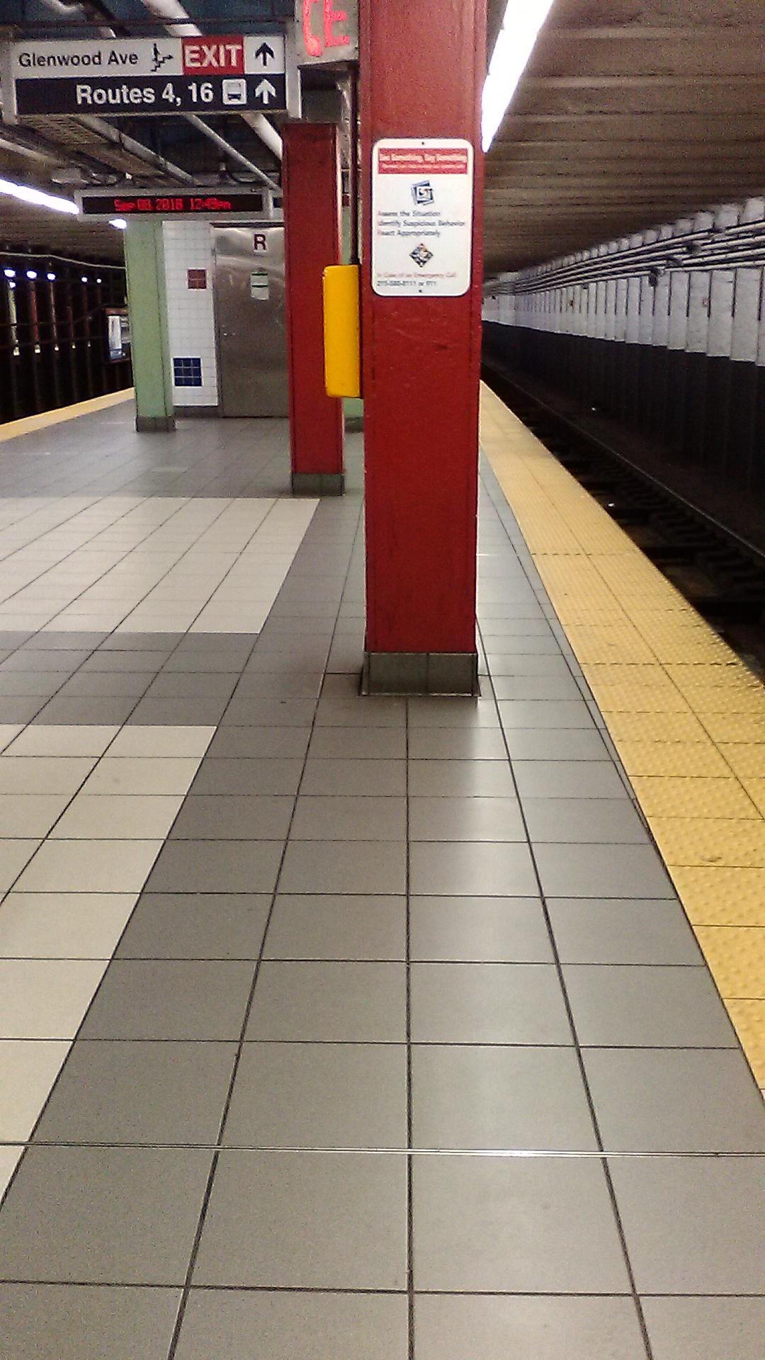 Taken by Anonymous
See North Philadelphia station on the map
Public transit to North Philadelphia station
Looking for directions to North Philadelphia in Philadelphia, United States?
Download the Moovit App to find the current schedule and step-by-step directions for Metro, Bus or Train routes that pass through North Philadelphia.
Looking for the nearest stops closest to North Philadelphia ? Check out this list of closest stops to your destination: Lehigh Av & Broad St; Broad St & Glenwood Av ; 17th St & Indiana Av; North Broad; North Philadelphia Amtrak; Susquehanna Dauphin.
Bus: 16, 2, 4, 54, B1 OWL.Train: CHW, TRE, LAN, NOR, KEYSTONE SERVICE.Metro: B1, B3.
We make riding on public transit to North Philadelphia easy, which is why over 1.7 billion users, including users in Philadelphia trust Moovit as the best app for public transit.
Use the app to navigate to popular places including to the airport, hospital, stadium, grocery store, mall, coffee shop, school, college, and university.
The station has the following entrances: Philadelphia North Station, New West Leigh & Broad Street, West Leigh St, Broad St & Glenwood Av, N 16th St and Broad St & Glenwood Av
The first line to this station is B1, at 5:10 AM, and the last line is B1 at 12:42 AM.
This station serves SEPTA Subway’s lines
Popular routes from North Philadelphia station
- Lehigh Av & Broad St,
- Broad St & Glenwood Av ,
- 17th St & Indiana Av
Bus stops near North Philadelphia stop
- North Broad,
- North Philadelphia Amtrak
Train stations near North Philadelphia station
- Susquehanna Dauphin
Metro station near North Philadelphia station
- Broad Street at Red Bank Avenue,
- Oxford Av & Levick St,
- 33rd St & Cumberland St,
- 29th St & Snyder Av,
- Germantown Av & Sharpnack St,
- Fern Rock T C,
- Norristown Transit Center,
- Old York Rd & Easton Rd - Fs,
- Market St & 6th St,
- Marcus Hook,
- 9th St & Chestnut St ,
- Calhoun St at Pennington Ave,
- Pennco Tech,
- Spruce St & 34th St,
- 8th St & Fairmount Av,
- Glenolden,
- 84th St & Lindbergh Blvd,
- Lindbergh Blvd & 80th St,
- Broad St & Arch St,
- Hatboro
Popular public transit stations in Philadelphia
Get around Philadelphia by public transit!
Traveling around Philadelphia has never been so easy. See step by step directions as you travel to any attraction, street or major public transit station. View bus and train schedules, arrival times, service alerts and detailed routes on a map, so you know exactly how to get to anywhere in Philadelphia.
When traveling to any destination around Philadelphia use Moovit's Live Directions with Get Off Notifications to know exactly where and how far to walk, how long to wait for your line, and how many stops are left. Moovit will alert you when it's time to get off — no need to constantly re-check whether yours is the next stop.
Wondering how to use public transit in Philadelphia or how to pay for public transit in Philadelphia? Moovit public transit app can help you navigate your way with public transit easily, and at minimum cost. It includes public transit fees, ticket prices, and costs. Looking for a map of Philadelphia public transit lines? Moovit public transit app shows all public transit maps in Philadelphia with all Bus, Train, Metro, Light Rail and Cable Car routes and stops on an interactive map.
Philadelphia has 5 transit type(s), including: Bus, Train, Metro, Light Rail and Cable Car, operated by several transit agencies, including SEPTA Subway, SEPTA Rail, SEPTA, SEPTA Trolley, NJ Transit Rail, NJ Transit, Port Authority Transit Corporation, Navy Yard, Penn Transit, Drexel University, Pottstown Area Rapid Transit (PART), Fullington Tours, Chescobus, Amtrak and Greyhound-us