How to get to Notte Fatata by bus?
Click on the bus route to see step by step directions with maps, line arrival times and updated time schedules.
From Calle Ocho, Miami
68 minFrom NW 62nd St / NW 27th Ave, Miami
44 minFrom Wynwood, Miami
37 minFrom Miami Dade College InterAmerican Campus, Miami
69 minFrom Clarion Inn & Suites Miami Airport, Miami
65 minFrom Cruise Port Miami, Miami
44 minFrom NW 37th Ave / NW 7th St, Miami
82 minFrom Joe's Stone Crab, Miami Beach
48 minFrom Uhealth Sole Mia Medical Center - Parking Garage, Miami
43 minFrom Goodwill - Little Havana Calle Ocho, Miami
53 min
Bus stops near Notte Fatata in Miami
Bus lines to Notte Fatata in Miami
What are the closest stations to Notte Fatata?
The closest stations to Notte Fatata are:
- Biscayne Bd @ Ne 75 St is 293 yards away, 4 min walk.
- Ne 79 St & Ne 4 Av is 358 yards away, 5 min walk.
- Ne 79 St @ Ne 2 Av is 553 yards away, 7 min walk.
- Ne 5 Av @ Ne 81 St is 591 yards away, 8 min walk.
- Biscayne Blvd & Ne 79 St is 640 yards away, 9 min walk.
- Ne 2 Av & Ne 78 St is 863 yards away, 11 min walk.
- Ne 2 Av & Ne 77 St is 950 yards away, 12 min walk.
Which bus lines stop near Notte Fatata?
These bus lines stop near Notte Fatata: 2, 203, 3, 79, 9.
What’s the nearest bus station to Notte Fatata in Miami?
The nearest bus station to Notte Fatata in Miami is Biscayne Bd @ Ne 75 St. It’s a 4 min walk away.
What time is the first bus to Notte Fatata in Miami?
The 3 is the first bus that goes to Notte Fatata in Miami. It stops nearby at 3:32 AM.
What time is the last bus to Notte Fatata in Miami?
The 79 is the last bus that goes to Notte Fatata in Miami. It stops nearby at 2:49 AM.
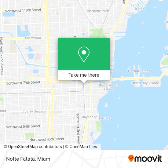
See Notte Fatata, Miami, on the map
Public Transit to Notte Fatata in Miami
Wondering how to get to Notte Fatata in Miami? Moovit helps you find the best way to get to Notte Fatata with step-by-step directions from the nearest public transit station.
Moovit provides free maps and live directions to help you navigate through your city. View schedules, routes, timetables, and find out how long does it take to get to Notte Fatata in real time.
Looking for the nearest stop or station to Notte Fatata? Check out this list of stops closest to your destination: Biscayne Bd @ Ne 75 St; Ne 79 St & Ne 4 Av; Ne 79 St @ Ne 2 Av; Ne 5 Av @ Ne 81 St; Biscayne Blvd & Ne 79 St; Ne 2 Av & Ne 78 St; Ne 2 Av & Ne 77 St.
Bus: 2, 203, 3, 79, 9, 279, 16, 103.
Want to see if there’s another route that gets you there at an earlier time? Moovit helps you find alternative routes or times. Get directions from and directions to Notte Fatata easily from the Moovit App or Website.
We make riding to Notte Fatata easy, which is why over 1.5 million users, including users in Miami, trust Moovit as the best app for public transit. You don’t need to download an individual bus app or train app, Moovit is your all-in-one transit app that helps you find the best bus time or train time available.
For information on prices of bus and train, costs and ride fares to Notte Fatata, please check the Moovit app.
Use the app to navigate to popular places including to the airport, hospital, stadium, grocery store, mall, coffee shop, school, college, and university.
Notte Fatata Address: 7636 NE 4th Ct Miami, FL 33138 street in Miami
- Share Media Agency,
- The Source Models,
- Carla Guilhem Design,
- Iron Side Campus,
- Tesla,
- Tapara,
- Estilo Avar,
- Treetops Loft Condo,
- Little River Hotel,
- Lemon Garden,
- Metropolitan Trucking CDL Training & Testing,
- CDL Metropolitan Trucking & Technical Institute,
- Studio MC+G Architecture,
- Koda,
- Origin Construction,
- Man VS Fries,
- Van Leeuwen,
- Undertoneskn,
- Happy Head Marketing,
- Mud.Foundation
Places Near Notte Fatata (Miami)
- Aventura Mall, Miami,
- Bayside Marketplace, Miami,
- Dolphin Mall Bus, Miami,
- Little Havana, Miami,
- Brickell City Centre, Miami,
- Sawgrass Mall, Miami,
- Zoo Miami, Miami,
- Dolphin Mall, Miami,
- Wynwood, Miami,
- Sawgrass mall ( FL ), Miami Beach,
- Richard E. Gerstein Justice Building, Miami,
- Keiser University Flagship Campus, West Palm Beach,
- Miami VA Hospital, Miami,
- Miami-Dade County Courthouse, Miami,
- Hard Rock Stadium, Miami Gardens,
- Port of Miami Cruise Terminal, Miami,
- Miami Design District, Miami,
- Miami Freedom Park, Miami,
- Aventura Mall, Miami Beach,
- Marlins Park, Miami
How to get to popular places in Miami with public transit
Get around Miami by public transit!
Traveling around Miami has never been so easy. See step by step directions as you travel to any attraction, street or major public transit station. View bus and train schedules, arrival times, service alerts and detailed routes on a map, so you know exactly how to get to anywhere in Miami.
When traveling to any destination around Miami use Moovit's Live Directions with Get Off Notifications to know exactly where and how far to walk, how long to wait for your line, and how many stops are left. Moovit will alert you when it's time to get off — no need to constantly re-check whether yours is the next stop.
Wondering how to use public transit in Miami or how to pay for public transit in Miami? Moovit public transit app can help you navigate your way with public transit easily, and at minimum cost. It includes public transit fees, ticket prices, and costs. Looking for a map of Miami public transit lines? Moovit public transit app shows all public transit maps in Miami with all Bus, Train, Light Rail and Ferry routes and stops on an interactive map.
Miami has 4 transit type(s), including: Bus, Train, Light Rail and Ferry, operated by several transit agencies, including Broward County Transit, Miami-Dade Transit, Metrorail, Palm Tran, Tri-Rail, Brightline, MARTY, City of Homestead Trolley, Key West Transit, Treasure Coast Connector, GoLine IRT, Amtrak, Greyhound-us, FlixBus-us and Aventura Express Shuttle Bus