How to get to Number One Cleaner by bus?
Click on the bus route to see step by step directions with maps, line arrival times and updated time schedules.
From Baltimore Penn Station, Baltimore
45 minFrom Loyola University Maryland, Baltimore
37 minFrom I-83 Exit 5 (Maryland Ave/Charles St), Baltimore
51 minFrom Maryland, Baltimore
46 minFrom Inner Harbor, Baltimore
55 minFrom Horseshoe Baltimore, Baltimore
63 minFrom M&T Bank Stadium, Baltimore
68 minFrom Horseshoe Casino Baltimore, Baltimore
64 minFrom Power Plant Live, Baltimore
57 minFrom Inner Harbor, Baltimore
58 min
How to get to Number One Cleaner by metro?
Click on the metro route to see step by step directions with maps, line arrival times and updated time schedules.
Bus stops near Number One Cleaner in Baltimore
Metro station near Number One Cleaner in Baltimore
- Rogers Ave Metro, 6 min walk,VIEW
Bus lines to Number One Cleaner in Baltimore
What are the closest stations to Number One Cleaner?
The closest stations to Number One Cleaner are:
- Wabash Ave & Northern Pkwy FS Sb is 220 yards away, 3 min walk.
- Rogers Ave Metro is 435 yards away, 6 min walk.
- Rogers Metro Station Entrance Nb is 472 yards away, 6 min walk.
- Rogers Ave Metro Station is 505 yards away, 6 min walk.
- Reisterstown Rd & Primrose Ave FS is 1107 yards away, 14 min walk.
Which bus lines stop near Number One Cleaner?
These bus lines stop near Number One Cleaner: 28, 30, 80, 82.
Which metro line stops near Number One Cleaner?
METRO (Towards Owing Mills)
What’s the nearest metro station to Number One Cleaner in Baltimore?
The nearest metro station to Number One Cleaner in Baltimore is Rogers Ave Metro. It’s a 6 min walk away.
What’s the nearest bus station to Number One Cleaner in Baltimore?
The nearest bus station to Number One Cleaner in Baltimore is Wabash Ave & Northern Pkwy FS Sb. It’s a 3 min walk away.
What time is the first metro to Number One Cleaner in Baltimore?
The METRO is the first metro that goes to Number One Cleaner in Baltimore. It stops nearby at 3:45 AM.
What time is the last metro to Number One Cleaner in Baltimore?
The METRO is the last metro that goes to Number One Cleaner in Baltimore. It stops nearby at 12:23 AM.
What time is the first bus to Number One Cleaner in Baltimore?
The 31 is the first bus that goes to Number One Cleaner in Baltimore. It stops nearby at 3:49 AM.
What time is the last bus to Number One Cleaner in Baltimore?
The 83 is the last bus that goes to Number One Cleaner in Baltimore. It stops nearby at 2:07 AM.
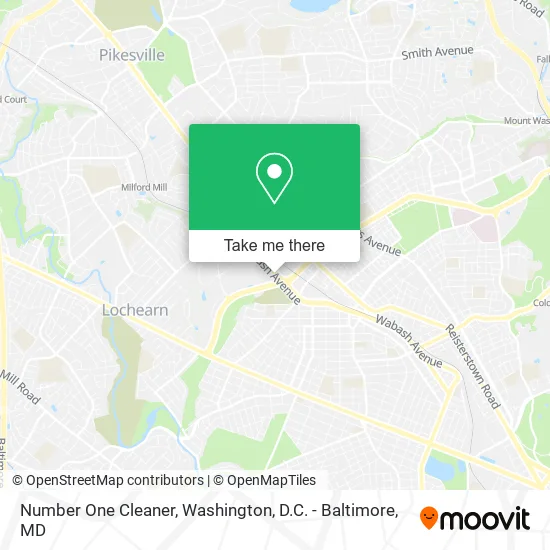
See Number One Cleaner, Baltimore, on the map
Public Transit to Number One Cleaner in Baltimore
Wondering how to get to Number One Cleaner in Baltimore? Moovit helps you find the best way to get to Number One Cleaner with step-by-step directions from the nearest public transit station.
Moovit provides free maps and live directions to help you navigate through your city. View schedules, routes, timetables, and find out how long does it take to get to Number One Cleaner in real time.
Looking for the nearest stop or station to Number One Cleaner? Check out this list of stops closest to your destination: Wabash Ave & Northern Pkwy FS Sb; Rogers Ave Metro; Rogers Metro Station Entrance Nb; Rogers Ave Metro Station; Reisterstown Rd & Primrose Ave FS.
Bus: 28, 30, 80, 82, 34, 89, 31, 83.Metro: METRO.
Want to see if there’s another route that gets you there at an earlier time? Moovit helps you find alternative routes or times. Get directions from and directions to Number One Cleaner easily from the Moovit App or Website.
We make riding to Number One Cleaner easy, which is why over 1.5 million users, including users in Baltimore, trust Moovit as the best app for public transit. You don’t need to download an individual bus app or train app, Moovit is your all-in-one transit app that helps you find the best bus time or train time available.
For information on prices of bus, metro and light rail, costs and ride fares to Number One Cleaner, please check the Moovit app.
Use the app to navigate to popular places including to the airport, hospital, stadium, grocery store, mall, coffee shop, school, college, and university.
Number One Cleaner Address: 5736 Wabash Ave Baltimore, MD 21215 street in Baltimore
- Kimmys (Kimmy's Restaurant Carry Out),
- Think Dollar,
- Metropolitan Management,
- Harvest Fare,
- Amazon Locker-Hanna,
- Kimmy's Carolina Style,
- Libertyx Bitcoin ATM,
- Northwest Plaza Cleaners,
- Mta Maryland, Metro Subway Operations,
- MTA Maryland Wabash Rail Shop,
- Home Sweet Home Cafe & Brunch,
- W Northern Pkwy Wabash,
- T-Mobile,
- Citi Trends,
- USPS Collection Box - Blue Box,
- Amazon Locker-Aimee,
- Amazon Locker-Cyclone,
- Plaza Liquors,
- Fresh Laundromat,
- SUBWAY
Places Near Number One Cleaner (Baltimore)
- Washington DC VA Medical Center, Washington,
- Capital One Arena, Washington,
- Marriott Marquis Washington, DC, Washington,
- Basilica of the National Shrine, Washington,
- Museum Of The Bible, Washington,
- PG Mall, Prince George's County,
- Rock Creek Tennis Center, Washington,
- The Anthem, Washington,
- Amazon Hq2, Arlington County,
- Warner Theatre, Washington,
- Pennsylvania Ave NW (3rd st and pennsylvania), Washington,
- National Theatre, Washington,
- M&T Bank Stadium, Baltimore,
- National Zoo, Washington,
- Georgetown, Washington,
- Washington National Cathedral, Washington,
- National Museum of African American History and Culture, Washington,
- Camden Yards, Baltimore,
- Sibley Memorial Hospital, Washington,
- Westfield Montgomery Mall, Montgomery County
How to get to popular places in Washington, D.C. - Baltimore, MD with public transit
Get around Baltimore by public transit!
Traveling around Baltimore has never been so easy. See step by step directions as you travel to any attraction, street or major public transit station. View bus and train schedules, arrival times, service alerts and detailed routes on a map, so you know exactly how to get to anywhere in Baltimore.
When traveling to any destination around Baltimore use Moovit's Live Directions with Get Off Notifications to know exactly where and how far to walk, how long to wait for your line, and how many stops are left. Moovit will alert you when it's time to get off — no need to constantly re-check whether yours is the next stop.
Wondering how to use public transit in Baltimore or how to pay for public transit in Baltimore? Moovit public transit app can help you navigate your way with public transit easily, and at minimum cost. It includes public transit fees, ticket prices, and costs. Looking for a map of Baltimore public transit lines? Moovit public transit app shows all public transit maps in Baltimore with all Bus, Train, Metro, Light Rail and Ferry routes and stops on an interactive map.
Washington, D.C. - Baltimore, MD has 5 transit type(s), including: Bus, Train, Metro, Light Rail and Ferry, operated by several transit agencies, including WMATA, Montgomery County Ride On, Fairfax Connector, TheBus, PRTC, DASH - Alexandria, Arlington Transit (ART), RTA of Central Maryland, MDOT MTA, MDOT MTA Light RailLink, MDOT MTA Commuter Bus, MDOT MTA Local Bus, FXBGO!, Virginia Railway Express (VRE) and MARC