- Haislip-Hall Farm,
- Wild Flower Area,
- Old County Jail (C. 1822),
- Old Prince William Courthouse (C. 1822),
- Old Brentsville School,
- Brentsville Historic District,
- Brentsville Tavern,
- 619 Bar,
- Old Union Church (C. 1880),
- Brentsville Courthouse Historic Ctr,
- Prince William County Public Schools Transportation Office,
- Black Willow,
- Meadow Ct Kettle Wind Dr,
- K@16r/34l,
- K@16l/34r,
- Chantilly Air Jet Center,
- Cheshire Ridge Lancaster Knoll Ln,
- Colvin Farms,
- Manassas Regional Airport,
- Clover Hill
Places Near Observation Platform (Prince William County)
- Camden Yards, Baltimore,
- National Theatre, Washington,
- Museum Of The Bible, Washington,
- Basilica of the National Shrine, Washington,
- Warner Theatre, Washington,
- Sibley Memorial Hospital, Washington,
- National Zoo, Washington,
- Marriott Marquis Washington, DC, Washington,
- The Anthem, Washington,
- Georgetown, Washington,
- Amazon Hq2, Arlington County,
- Capital One Arena, Washington,
- PG Mall, Prince George's County,
- Washington National Cathedral, Washington,
- Westfield Montgomery Mall, Montgomery County,
- M&T Bank Stadium, Baltimore,
- National Museum of African American History and Culture, Washington,
- Rock Creek Tennis Center, Washington,
- Washington DC VA Medical Center, Washington,
- Pennsylvania Ave NW (3rd st and pennsylvania), Washington
How to get to popular places in Washington, D.C. - Baltimore, MD with public transit
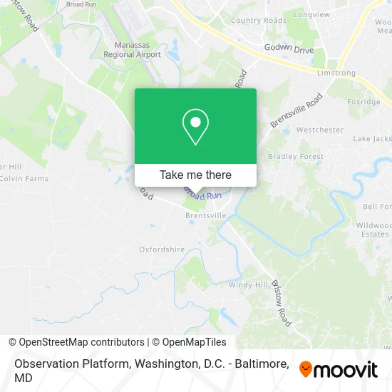
See Observation Platform, Prince William County, on the map
Public Transit to Observation Platform in Prince William County
Wondering how to get to Observation Platform in Prince William County? Moovit helps you find the best way to get to Observation Platform with step-by-step directions from the nearest public transit station.
Moovit provides free maps and live directions to help you navigate through your city. View schedules, routes, timetables, and find out how long does it take to get to Observation Platform in real time.
Want to see if there’s another route that gets you there at an earlier time? Moovit helps you find alternative routes or times. Get directions from and directions to Observation Platform easily from the Moovit App or Website.
We make riding to Observation Platform easy, which is why over 1.5 million users, including users in Prince William County, trust Moovit as the best app for public transit. You don’t need to download an individual bus app or train app, Moovit is your all-in-one transit app that helps you find the best bus time or train time available.
Use the app to navigate to popular places including to the airport, hospital, stadium, grocery store, mall, coffee shop, school, college, and university.
Location: Prince William County, Washington, D.C. - Baltimore, MD
Get around Prince William County by public transit!
Traveling around Prince William County has never been so easy. See step by step directions as you travel to any attraction, street or major public transit station. View bus and train schedules, arrival times, service alerts and detailed routes on a map, so you know exactly how to get to anywhere in Prince William County.
When traveling to any destination around Prince William County use Moovit's Live Directions with Get Off Notifications to know exactly where and how far to walk, how long to wait for your line, and how many stops are left. Moovit will alert you when it's time to get off — no need to constantly re-check whether yours is the next stop.
Wondering how to use public transit in Prince William County or how to pay for public transit in Prince William County? Moovit public transit app can help you navigate your way with public transit easily, and at minimum cost. It includes public transit fees, ticket prices, and costs. Looking for a map of Prince William County public transit lines? Moovit public transit app shows all public transit maps in Prince William County with all Bus, Train, Metro, Light Rail and Ferry routes and stops on an interactive map.
Washington, D.C. - Baltimore, MD has 5 transit type(s), including: Bus, Train, Metro, Light Rail and Ferry, operated by several transit agencies, including WMATA, Montgomery County Ride On, Fairfax Connector, TheBus, PRTC, DASH - Alexandria, Arlington Transit (ART), RTA of Central Maryland, MDOT MTA, MDOT MTA Light RailLink, MDOT MTA Commuter Bus, MDOT MTA Local Bus, FXBGO!, Virginia Railway Express (VRE) and MARC