How to get to Occ Multimedia by bus?
Click on the bus route to see step by step directions with maps, line arrival times and updated time schedules.
Bus stops near Occ Multimedia in Roanoke
Bus lines to Occ Multimedia in Roanoke
What are the closest stations to Occ Multimedia?
The closest stations to Occ Multimedia are:
- Brandon Eb at Carlton is 208 yards away, 3 min walk.
- Edgewood Eb at Malvern is 884 yards away, 11 min walk.
- Edgewood Wb at Malvern is 884 yards away, 11 min walk.
- Grandin Nb at Avenel (Patrick Henry High School) is 976 yards away, 12 min walk.
Which bus line stops near Occ Multimedia?
65 (65 - Third Street Station To Carlton & Grandin)
What’s the nearest bus station to Occ Multimedia in Roanoke?
The nearest bus station to Occ Multimedia in Roanoke is Brandon Eb at Carlton. It’s a 3 min walk away.
What time is the first bus to Occ Multimedia in Roanoke?
The 66 is the first bus that goes to Occ Multimedia in Roanoke. It stops nearby at 5:45 AM.
What time is the last bus to Occ Multimedia in Roanoke?
The 65 is the last bus that goes to Occ Multimedia in Roanoke. It stops nearby at 8:45 PM.
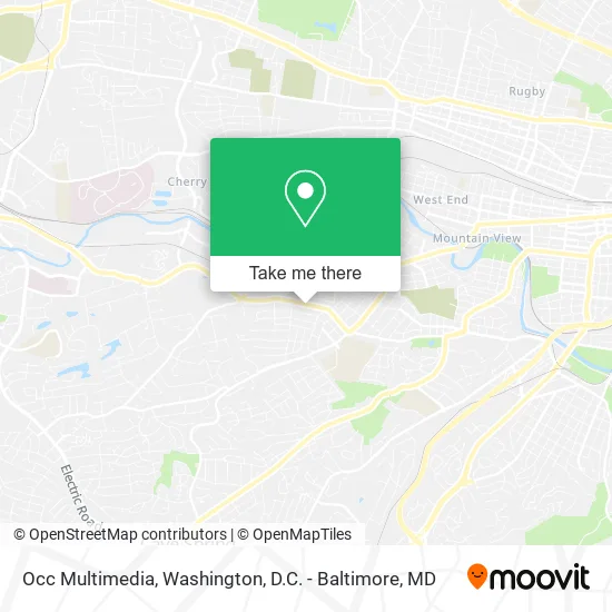
See Occ Multimedia, Roanoke, on the map
Public Transit to Occ Multimedia in Roanoke
Wondering how to get to Occ Multimedia in Roanoke? Moovit helps you find the best way to get to Occ Multimedia with step-by-step directions from the nearest public transit station.
Moovit provides free maps and live directions to help you navigate through your city. View schedules, routes, timetables, and find out how long does it take to get to Occ Multimedia in real time.
Looking for the nearest stop or station to Occ Multimedia? Check out this list of stops closest to your destination: Brandon Eb at Carlton; Edgewood Eb at Malvern; Edgewood Wb at Malvern; Grandin Nb at Avenel (Patrick Henry High School).
Bus: 65, 71, 72, 66.
Want to see if there’s another route that gets you there at an earlier time? Moovit helps you find alternative routes or times. Get directions from and directions to Occ Multimedia easily from the Moovit App or Website.
We make riding to Occ Multimedia easy, which is why over 1.5 million users, including users in Roanoke, trust Moovit as the best app for public transit. You don’t need to download an individual bus app or train app, Moovit is your all-in-one transit app that helps you find the best bus time or train time available.
For information on prices of bus and train, costs and ride fares to Occ Multimedia, please check the Moovit app.
Use the app to navigate to popular places including to the airport, hospital, stadium, grocery store, mall, coffee shop, school, college, and university.
Occ Multimedia Address: 2420 Brandon Ave SW Roanoke, VA 24015 street in Roanoke
- Play by Play,
- DXDT 2013,
- Carlton Eb at Fareham,
- Church Of Christ,
- Roanoke Church of Christ,
- Lee Hy Court,
- Fareham SB at Carlton,
- Brambleton SB at Overland,
- Brandon WB at Langdon,
- Impact,
- Quickway,
- ATM,
- Raleigh Court Park,
- Woodrow Wilson Middle School,
- MS Lochbrunner,
- Multiservices las Americas Roanoke,
- Woodrow Wilson Junior High School,
- Senior Patient Care Services,
- Ferguson's Grocery,
- Salon du'Ta
Places Near Occ Multimedia (Roanoke)
- National Theatre, Washington,
- Marriott Marquis Washington, DC, Washington,
- Rock Creek Tennis Center, Washington,
- Amazon Hq2, Arlington County,
- Westfield Montgomery Mall, Montgomery County,
- National Zoo, Washington,
- M&T Bank Stadium, Baltimore,
- The Anthem, Washington,
- Washington National Cathedral, Washington,
- Capital One Arena, Washington,
- Georgetown, Washington,
- Warner Theatre, Washington,
- Sibley Memorial Hospital, Washington,
- Camden Yards, Baltimore,
- National Museum of African American History and Culture, Washington,
- Washington DC VA Medical Center, Washington,
- Museum Of The Bible, Washington,
- Pennsylvania Ave NW (3rd st and pennsylvania), Washington,
- Basilica of the National Shrine, Washington,
- PG Mall, Prince George's County
How to get to popular places in Washington, D.C. - Baltimore, MD with public transit
Get around Roanoke by public transit!
Traveling around Roanoke has never been so easy. See step by step directions as you travel to any attraction, street or major public transit station. View bus and train schedules, arrival times, service alerts and detailed routes on a map, so you know exactly how to get to anywhere in Roanoke.
When traveling to any destination around Roanoke use Moovit's Live Directions with Get Off Notifications to know exactly where and how far to walk, how long to wait for your line, and how many stops are left. Moovit will alert you when it's time to get off — no need to constantly re-check whether yours is the next stop.
Wondering how to use public transit in Roanoke or how to pay for public transit in Roanoke? Moovit public transit app can help you navigate your way with public transit easily, and at minimum cost. It includes public transit fees, ticket prices, and costs. Looking for a map of Roanoke public transit lines? Moovit public transit app shows all public transit maps in Roanoke with all Bus, Train, Metro, Light Rail and Ferry routes and stops on an interactive map.
Washington, D.C. - Baltimore, MD has 5 transit type(s), including: Bus, Train, Metro, Light Rail and Ferry, operated by several transit agencies, including WMATA, Montgomery County Ride On, Fairfax Connector, TheBus, PRTC, DASH - Alexandria, Arlington Transit (ART), RTA of Central Maryland, MDOT MTA, MDOT MTA Light RailLink, MDOT MTA Commuter Bus, MDOT MTA Local Bus, FXBGO!, Virginia Railway Express (VRE) and MARC