How to get to Odu Library by bus?
Click on the bus route to see step by step directions with maps, line arrival times and updated time schedules.
Bus stops near Odu Library in Norfolk
Light Rail stations near Odu Library in Norfolk
- Evmc Fort Norfolk Station, 19 min walk,VIEW
What are the closest stations to Odu Library?
The closest stations to Odu Library are:
- 43rd & Bowdens Ferry is 223 yards away, 3 min walk.
- Hampton & 49th is 646 yards away, 8 min walk.
- Evmc Fort Norfolk Station is 1567 yards away, 19 min walk.
Which bus lines stop near Odu Library?
These bus lines stop near Odu Library: 002, 023, 961.
Which light rail line stops near Odu Library?
800 (Evmc Fort Norfolk Station)
What’s the nearest light rail station to Odu Library in Norfolk?
The nearest light rail station to Odu Library in Norfolk is Evmc Fort Norfolk Station. It’s a 19 min walk away.
What’s the nearest bus station to Odu Library in Norfolk?
The nearest bus station to Odu Library in Norfolk is 43rd & Bowdens Ferry. It’s a 3 min walk away.
What time is the first light rail to Odu Library in Norfolk?
The 800 is the first light rail that goes to Odu Library in Norfolk. It stops nearby at 5:27 AM.
What time is the last light rail to Odu Library in Norfolk?
The 800 is the last light rail that goes to Odu Library in Norfolk. It stops nearby at 11:35 PM.
What time is the first bus to Odu Library in Norfolk?
The 002 is the first bus that goes to Odu Library in Norfolk. It stops nearby at 5:30 AM.
What time is the last bus to Odu Library in Norfolk?
The 002 is the last bus that goes to Odu Library in Norfolk. It stops nearby at 12:37 AM.
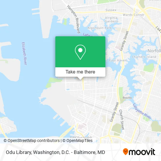
See Odu Library, Norfolk, on the map
Public Transit to Odu Library in Norfolk
Wondering how to get to Odu Library in Norfolk? Moovit helps you find the best way to get to Odu Library with step-by-step directions from the nearest public transit station.
Moovit provides free maps and live directions to help you navigate through your city. View schedules, routes, timetables, and find out how long does it take to get to Odu Library in real time.
Looking for the nearest stop or station to Odu Library? Check out this list of stops closest to your destination: 43rd & Bowdens Ferry; Hampton & 49th; Evmc Fort Norfolk Station.
Bus: 002, 023, 961, 004.Light Rail: 800.
Want to see if there’s another route that gets you there at an earlier time? Moovit helps you find alternative routes or times. Get directions from and directions to Odu Library easily from the Moovit App or Website.
We make riding to Odu Library easy, which is why over 1.5 million users, including users in Norfolk, trust Moovit as the best app for public transit. You don’t need to download an individual bus app or train app, Moovit is your all-in-one transit app that helps you find the best bus time or train time available.
For information on prices of bus, train and light rail, costs and ride fares to Odu Library, please check the Moovit app.
Use the app to navigate to popular places including to the airport, hospital, stadium, grocery store, mall, coffee shop, school, college, and university.
Odu Library Address: 4427 Hampton Blvd Norfolk, VA 23508 street in Norfolk
- PNC ATM,
- Patricia W. and J. Douglas Perry Library,
- Einstein Bros,
- Old Dominion University Libraries,
- Albert Brooks Gornto, Junior, Hall,
- Lot G,
- Concrete Benches at Bal,
- Lot 29,
- Batten Arts And Letters Building,
- Education Building,
- Conference Room,
- Global Friendship House,
- Lot L,
- Perry Library,
- Lot 19,
- U.S. Department of Veteran Affairs,
- Lions Child Study Center,
- Student Success Center,
- VA Beach Memorial Garden & Sanctuary,
- Norfolk Fire Station 7
Places Near Odu Library (Norfolk)
- M&T Bank Stadium, Baltimore,
- Warner Theatre, Washington,
- Amazon Hq2, Arlington County,
- Capital One Arena, Washington,
- Georgetown, Washington,
- Museum Of The Bible, Washington,
- Washington National Cathedral, Washington,
- Pennsylvania Ave NW (3rd st and pennsylvania), Washington,
- Camden Yards, Baltimore,
- National Museum of African American History and Culture, Washington,
- The Anthem, Washington,
- Basilica of the National Shrine, Washington,
- Rock Creek Tennis Center, Washington,
- National Mall, Washington,
- Marriott Marquis Washington, DC, Washington,
- Westfield Montgomery Mall, Montgomery County,
- National Zoo, Washington,
- Washington DC VA Medical Center, Washington,
- Sibley Memorial Hospital, Washington,
- PG Mall, Prince George's County
How to get to popular places in Washington, D.C. - Baltimore, MD with public transit
Get around Norfolk by public transit!
Traveling around Norfolk has never been so easy. See step by step directions as you travel to any attraction, street or major public transit station. View bus and train schedules, arrival times, service alerts and detailed routes on a map, so you know exactly how to get to anywhere in Norfolk.
When traveling to any destination around Norfolk use Moovit's Live Directions with Get Off Notifications to know exactly where and how far to walk, how long to wait for your line, and how many stops are left. Moovit will alert you when it's time to get off — no need to constantly re-check whether yours is the next stop.
Wondering how to use public transit in Norfolk or how to pay for public transit in Norfolk? Moovit public transit app can help you navigate your way with public transit easily, and at minimum cost. It includes public transit fees, ticket prices, and costs. Looking for a map of Norfolk public transit lines? Moovit public transit app shows all public transit maps in Norfolk with all Bus, Train, Metro, Light Rail and Ferry routes and stops on an interactive map.
Washington, D.C. - Baltimore, MD has 5 transit type(s), including: Bus, Train, Metro, Light Rail and Ferry, operated by several transit agencies, including WMATA, Montgomery County Ride On, Fairfax Connector, TheBus, PRTC, DASH - Alexandria, Arlington Transit (ART), RTA of Central Maryland, MDOT MTA, MDOT MTA Light RailLink, MDOT MTA Commuter Bus, MDOT MTA Local Bus, FXBGO!, Virginia Railway Express (VRE) and MARC