How to get to Olive Cares Clean Solutions by bus?
Click on the bus route to see step by step directions with maps, line arrival times and updated time schedules.
From Blue Quill Pharmacy, Edmonton
24 minFrom J. G. O' Donoghue Building, Edmonton
67 minFrom Union Hall Events Centre, Edmonton
69 minFrom Davies Park & Ride, Edmonton
63 minFrom Snow Valley Ski Club, Edmonton
58 minFrom The Bar Fitness, Edmonton
60 minFrom Liberta Coffee Lab, Edmonton
70 minFrom J. Percy Page High School, Edmonton
39 minFrom Fort Edmonton Park Road & Fox Drive, Edmonton
77 minFrom Rexall, Edmonton
38 min
Bus stops near Olive Cares Clean Solutions in Edmonton
Bus lines to Olive Cares Clean Solutions in Edmonton
What are the closest stations to Olive Cares Clean Solutions?
The closest stations to Olive Cares Clean Solutions are:
- Rutherford Road E & 17 Avenue SW is 15 meters away, 1 min walk.
- James Mowatt Trail & Callaghan Drive SW is 205 meters away, 3 min walk.
- Rutherford Road & 20 Avenue SW is 903 meters away, 12 min walk.
Which bus line stops near Olive Cares Clean Solutions?
722 (Century Park Transit Centre→Casselman Link & Casselman Crescent SW)
What’s the nearest bus station to Olive Cares Clean Solutions in Edmonton?
The nearest bus station to Olive Cares Clean Solutions in Edmonton is Rutherford Road E & 17 Avenue SW. It’s a 1 min walk away.
What time is the first bus to Olive Cares Clean Solutions in Edmonton?
The 722 is the first bus that goes to Olive Cares Clean Solutions in Edmonton. It stops nearby at 6:12 AM.
What time is the last bus to Olive Cares Clean Solutions in Edmonton?
The 721 is the last bus that goes to Olive Cares Clean Solutions in Edmonton. It stops nearby at 12:41 AM.
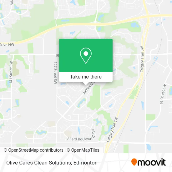
See Olive Cares Clean Solutions, Edmonton, on the map
Public Transit to Olive Cares Clean Solutions in Edmonton
Wondering how to get to Olive Cares Clean Solutions in Edmonton? Moovit helps you find the best way to get to Olive Cares Clean Solutions with step-by-step directions from the nearest public transit station.
Moovit provides free maps and live directions to help you navigate through your city. View schedules, routes, timetables, and find out how long does it take to get to Olive Cares Clean Solutions in real time.
Looking for the nearest stop or station to Olive Cares Clean Solutions? Check out this list of stops closest to your destination: Rutherford Road E & 17 Avenue SW; James Mowatt Trail & Callaghan Drive SW; Rutherford Road & 20 Avenue SW.
Bus: 722, 658, 665, 659, 667, 721.
Want to see if there’s another route that gets you there at an earlier time? Moovit helps you find alternative routes or times. Get directions from and directions to Olive Cares Clean Solutions easily from the Moovit App or Website.
We make riding to Olive Cares Clean Solutions easy, which is why over 1.5 million users, including users in Edmonton, trust Moovit as the best app for public transit. You don’t need to download an individual bus app or train app, Moovit is your all-in-one transit app that helps you find the best bus time or train time available.
For information on prices of bus and light rail, costs and ride fares to Olive Cares Clean Solutions, please check the Moovit app.
Use the app to navigate to popular places including to the airport, hospital, stadium, grocery store, mall, coffee shop, school, college, and university.
Olive Cares Clean Solutions Address: 11403 17 Ave SW Edmonton, AB T6W 2J6 street in Edmonton
- Rutherford Medical Clinic,
- Esso,
- HSBC Atm,
- Manizheh Studio,
- Homeaura Interiors,
- Pure Shine Auto Detailing,
- Monsignor Fee Otterson Catholic School,
- Shree Saree,
- Ebony Botanicals,
- Prestige City Wide,
- Salam Couture,
- Green Grover,
- Renelee Car Rental,
- Private Tuitions,
- E Town Painting,
- Academy of Music Studio,
- Monarca Eco-Friend,
- SK Salon,
- Zen Baby Sleep,
- Renos Plus
Places Near Olive Cares Clean Solutions (Edmonton)
- Canada Place Service Canada Centre, Edmonton,
- Alberta Legislature Building, Edmonton,
- Kaye Edmonton Clinic, Edmonton,
- Northgate Centre, Edmonton,
- Grey Nuns Community Hospital, Edmonton,
- Cross Cancer Institute, Edmonton,
- Borden Park, Edmonton,
- Fort Edmonton Park, Edmonton,
- MacEwan University, Edmonton,
- Edmonton EXPO Centre, Edmonton,
- University of Alberta, Edmonton,
- Whyte Avenue, Edmonton,
- Edmonton Commonwealth Stadium, Edmonton,
- Kingsway Mall, Edmonton,
- Edmonton Valley Zoo, Edmonton,
- Londonderry Mall, Edmonton,
- Royal Alexandra Hospital, Edmonton,
- Rogers Place, Edmonton,
- Edmonton VIA Rail Station, Edmonton,
- West Edmonton Mall, Edmonton
How to get to popular places in Edmonton with public transit
Get around Edmonton by public transit!
Traveling around Edmonton has never been so easy. See step by step directions as you travel to any attraction, street or major public transit station. View bus and train schedules, arrival times, service alerts and detailed routes on a map, so you know exactly how to get to anywhere in Edmonton.
When traveling to any destination around Edmonton use Moovit's Live Directions with Get Off Notifications to know exactly where and how far to walk, how long to wait for your line, and how many stops are left. Moovit will alert you when it's time to get off — no need to constantly re-check whether yours is the next stop.
Wondering how to use public transit in Edmonton or how to pay for public transit in Edmonton? Moovit public transit app can help you navigate your way with public transit easily, and at minimum cost. It includes public transit fees, ticket prices, and costs. Looking for a map of Edmonton public transit lines? Moovit public transit app shows all public transit maps in Edmonton with all Bus and Light Rail routes and stops on an interactive map.
Edmonton has 2 transit type(s), including: Bus and Light Rail, operated by several transit agencies, including ETS LRT, ETS, Strathcona County Transit, St. Albert Transit, Spruce Grove Transit, Fort Saskatchewan Transit, Beaumont Transit and Leduc Transit