How to get to Olivetree Partners Group & Insurance Solutions by bus?
Click on the bus route to see step by step directions with maps, line arrival times and updated time schedules.
From Mountain's Edge Adventure Park, Enterprise
52 minFrom W. Charleston CSN DRC, Las Vegas
42 minFrom Healthcore, Las Vegas
44 minFrom Huli Huli 'n Dakine Grill BBQ, Paradise
42 minFrom Allegiant Stadium, Spring Valley
64 minFrom Allegiant Stadium, Paradise
59 minFrom Nevada DMV, Las Vegas
39 minFrom Mayweather Boxing Club, Paradise
43 minFrom UPS Worldwide Express Freight Center, Paradise
51 minFrom Downtown Summerlin, Summerlin South
44 min
Bus stops near Olivetree Partners Group & Insurance Solutions in Spring Valley
Bus lines to Olivetree Partners Group & Insurance Solutions in Spring Valley
What are the closest stations to Olivetree Partners Group & Insurance Solutions?
The closest stations to Olivetree Partners Group & Insurance Solutions are:
- Eb Russell Before Jerry Tarkanian is 86 yards away, 2 min walk.
- Sb Fort Apache After Russell is 495 yards away, 7 min walk.
Which bus lines stop near Olivetree Partners Group & Insurance Solutions?
These bus lines stop near Olivetree Partners Group & Insurance Solutions: 120, 201.
What’s the nearest bus station to Olivetree Partners Group & Insurance Solutions in Spring Valley?
The nearest bus station to Olivetree Partners Group & Insurance Solutions in Spring Valley is Eb Russell Before Jerry Tarkanian. It’s a 2 min walk away.
What time is the first bus to Olivetree Partners Group & Insurance Solutions in Spring Valley?
The 201 is the first bus that goes to Olivetree Partners Group & Insurance Solutions in Spring Valley. It stops nearby at 3:21 AM.
What time is the last bus to Olivetree Partners Group & Insurance Solutions in Spring Valley?
The 120 is the last bus that goes to Olivetree Partners Group & Insurance Solutions in Spring Valley. It stops nearby at 1:24 AM.
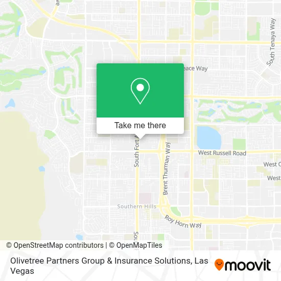
See Olivetree Partners Group & Insurance Solutions, Spring Valley, on the map
Public Transit to Olivetree Partners Group & Insurance Solutions in Spring Valley
Wondering how to get to Olivetree Partners Group & Insurance Solutions in Spring Valley? Moovit helps you find the best way to get to Olivetree Partners Group & Insurance Solutions with step-by-step directions from the nearest public transit station.
Moovit provides free maps and live directions to help you navigate through your city. View schedules, routes, timetables, and find out how long does it take to get to Olivetree Partners Group & Insurance Solutions in real time.
Looking for the nearest stop or station to Olivetree Partners Group & Insurance Solutions? Check out this list of stops closest to your destination: Eb Russell Before Jerry Tarkanian; Sb Fort Apache After Russell.
Bus: 120, 201.
Want to see if there’s another route that gets you there at an earlier time? Moovit helps you find alternative routes or times. Get directions from and directions to Olivetree Partners Group & Insurance Solutions easily from the Moovit App or Website.
We make riding to Olivetree Partners Group & Insurance Solutions easy, which is why over 1.7 million users, including users in Spring Valley, trust Moovit as the best app for public transit. You don’t need to download an individual bus app or train app, Moovit is your all-in-one transit app that helps you find the best bus time or train time available.
For information on prices of bus, costs and ride fares to Olivetree Partners Group & Insurance Solutions, please check the Moovit app.
Use the app to navigate to popular places including to the airport, hospital, stadium, grocery store, mall, coffee shop, school, college, and university.
Olivetree Partners Group & Insurance Solutions Address: 5510 S Fort Apache Rd street in Spring Valley
- Procare Primary & Urgent Care,
- Nexgen - Cahuilla,
- Amazon Locker-Bravery,
- Fertitta Middle School,
- #302,
- Tropicana Ave. & Ft. Apache Rd.,
- Tropicana/Fort Apache Post,
- Clark County School District,
- Pahrump Winery,
- Joann Bolles Real Estate,
- Southern Hills Hosp & Medl Ctr,
- S Hualapai Way / W Russell Rd,
- Southern Hills Hospital & Medical Center - Main Entrance,
- Patrick Kobielsky, Pacific Sunbelt Mortgage,
- Brush Strokes Art Studio,
- LBC Fort Apache Vegas,
- Comprehensive Cancer Centers of Nevada, Southwest (Kildea James-Comprehensive Cancer Center),
- Sunset Road and Ft Apache,
- Dr. Andrew M. Cash, MD,
- Tropicana Avenue & Durango Drive
Places Near Olivetree Partners Group & Insurance Solutions (Spring Valley)
- Zak Bagans Haunted Museum, Las Vegas,
- The Neon Museum, Las Vegas,
- Las Vegas South Premium Outlets, Enterprise,
- The Deuce Bus Stop at Fremont St, Las Vegas,
- Arte Museum Las Vegas, Paradise,
- Trump International Hotel Las Vegas, Paradise,
- Walmart, Las Vegas,
- The Palms Casino Resort, Paradise,
- Lee Canyon, Las Vegas,
- Koolsville Tattoos, Las Vegas,
- Welcome To Fabulous Las Vegas Sign, Paradise,
- Las Vegas Premium Outlets-North, Enterprise,
- Meow Wolf - Las Vegas (Meow Wolf's Omega Mart), Las Vegas,
- Gold & Silver Pawn Shop, Las Vegas,
- Allegiant Stadium, Paradise,
- Las Vegas North Premium Outlets, Las Vegas,
- Town Square, Enterprise,
- Area15, Las Vegas,
- Omega Mart, Las Vegas,
- Walmart Supercenter, Las Vegas
How to get to popular places in Las Vegas with public transit
Get around Spring Valley by public transit!
Traveling around Spring Valley has never been so easy. See step by step directions as you travel to any attraction, street or major public transit station. View bus and train schedules, arrival times, service alerts and detailed routes on a map, so you know exactly how to get to anywhere in Spring Valley.
When traveling to any destination around Spring Valley use Moovit's Live Directions with Get Off Notifications to know exactly where and how far to walk, how long to wait for your line, and how many stops are left. Moovit will alert you when it's time to get off — no need to constantly re-check whether yours is the next stop.
Wondering how to use public transit in Spring Valley or how to pay for public transit in Spring Valley? Moovit public transit app can help you navigate your way with public transit easily, and at minimum cost. It includes public transit fees, ticket prices, and costs. Looking for a map of Spring Valley public transit lines? Moovit public transit app shows all public transit maps in Spring Valley with all Bus and Monorail routes and stops on an interactive map.
Las Vegas has 2 transit type(s), including: Bus and Monorail, operated by several transit agencies, including RTCSNV, City of Las Vegas, Alvand Transportation, Vegas Airporter, Las Vegas Monorail, FlixBus-us and Greyhound-us