How to get to OneAmerica - CSS Building by bus?
Click on the bus route to see step by step directions with maps, line arrival times and updated time schedules.
From New Beginnings Life Center, Indianapolis City (Balance)
51 minFrom Indiana State Fair free stage, Indianapolis City (Balance)
35 minFrom Bishop Chatard High School Baseball Field, Indianapolis City (Balance)
46 minFrom Abelard, Frank Photography, Indianapolis City (Balance)
47 minFrom 2626 E 46th St, Indianapolis City (Balance)
39 minFrom Saddlebrook Golf Course, Indianapolis City (Balance)
54 minFrom Richard's Brothel, Indianapolis City (Balance)
43 minFrom Darbar Sri Guru Granth Sahib Ji, Indianapolis City (Balance)
41 minFrom 10th And Shadeland, Indianapolis City (Balance)
53 minFrom Rockitcoin, Indianapolis City (Balance)
45 min
Bus stops near OneAmerica - CSS Building in Indianapolis City (Balance)
Bus lines to OneAmerica - CSS Building in Indianapolis City (Balance)
What are the closest stations to OneAmerica - CSS Building?
The closest stations to OneAmerica - CSS Building are:
- Indiana Ave & Michigan St is 444 yards away, 6 min walk.
- Capitol Ave & 9th St Station Sb is 445 yards away, 6 min walk.
- Meridian St & North St is 484 yards away, 6 min walk.
- Michigan St & Indiana Ave is 500 yards away, 7 min walk.
Which bus lines stop near OneAmerica - CSS Building?
These bus lines stop near OneAmerica - CSS Building: 10, 19, 25, 37, 90, 92.
What’s the nearest bus station to OneAmerica - CSS Building in Indianapolis City (Balance)?
The nearest bus stations to OneAmerica - CSS Building in Indianapolis City (Balance) are Indiana Ave & Michigan St, Capitol Ave & 9th St Station Sb and Meridian St & North St. The closest one is a 6 min walk away.
What time is the first bus to OneAmerica - CSS Building in Indianapolis City (Balance)?
The 37 is the first bus that goes to OneAmerica - CSS Building in Indianapolis City (Balance). It stops nearby at 4:50 AM.
What time is the last bus to OneAmerica - CSS Building in Indianapolis City (Balance)?
The 90 is the last bus that goes to OneAmerica - CSS Building in Indianapolis City (Balance). It stops nearby at 12:52 AM.
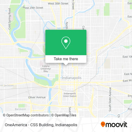
See OneAmerica - CSS Building, Indianapolis City (Balance), on the map
Public Transit to OneAmerica - CSS Building in Indianapolis City (Balance)
Wondering how to get to OneAmerica - CSS Building in Indianapolis City (Balance)? Moovit helps you find the best way to get to OneAmerica - CSS Building with step-by-step directions from the nearest public transit station.
Moovit provides free maps and live directions to help you navigate through your city. View schedules, routes, timetables, and find out how long does it take to get to OneAmerica - CSS Building in real time.
Looking for the nearest stop or station to OneAmerica - CSS Building? Check out this list of stops closest to your destination: Indiana Ave & Michigan St; Capitol Ave & 9th St Station Sb; Meridian St & North St; Michigan St & Indiana Ave.
Bus: 10, 19, 25, 37, 90, 92, 6, 15, 34, 11, 3.
Want to see if there’s another route that gets you there at an earlier time? Moovit helps you find alternative routes or times. Get directions from and directions to OneAmerica - CSS Building easily from the Moovit App or Website.
We make riding to OneAmerica - CSS Building easy, which is why over 1.5 million users, including users in Indianapolis City (Balance), trust Moovit as the best app for public transit. You don’t need to download an individual bus app or train app, Moovit is your all-in-one transit app that helps you find the best bus time or train time available.
For information on prices of bus, costs and ride fares to OneAmerica - CSS Building, please check the Moovit app.
Use the app to navigate to popular places including to the airport, hospital, stadium, grocery store, mall, coffee shop, school, college, and university.
OneAmerica - CSS Building Address: Senate ave street in Indianapolis City (Balance)
- Tide Dry Cleaners,
- CRDN of Indpls / Deering Cleaners Downtown,
- Roberts School Flats,
- Aul Warehouse,
- Zoll Brothers/Zesco Products,
- Nekter Juice Bar,
- Glick Peace Walk Luminary - Jonas Salk,
- Iu Health Urgent Care - Downtown Indianapolis,
- Stough Assoc an Ohio,
- Capitol Ave & Michigan St,
- Tyler B. Chaney, Pa - Iu Health Urgent Care - Downtown Indianapolis,
- SSC Indianapolis,
- Rowie PC,
- Colts Canal Playspace,
- Kroger,
- Browning Day,
- Matt's Alignment Service,
- R.E. Dimond and Associates, Inc.,
- American Garage Door,
- Coinstar - Bitcoin ATM
Places Near OneAmerica - CSS Building (Indianapolis City (Balance))
- Cotter's Massage Parlor With Happy Endings, Indianapolis City (Balance),
- Gainbridge Fieldhouse, Indianapolis City (Balance),
- Methodist Hospital of Indianapolis, Indianapolis City (Balance),
- St. Vincent Hospital - Indianapolis, Indianapolis City (Balance),
- Indianapolis Motor Speedway, Speedway,
- Castleton Square Mall, Indianapolis,
- Plainfield, IN, Plainfield,
- Lilly Corporate Center (Eli Lilly & Co), Indianapolis City (Balance),
- Indiana, Indianapolis City (Balance),
- Indiana Convention Center, Indianapolis City (Balance),
- Jersey Barn, Indianapolis City (Balance),
- I U Health Methodist Hospital, Indianapolis City (Balance),
- Lucas Oil Stadium, Indianapolis City (Balance),
- THE BALT, Indianapolis City (Balance),
- Eskenazi Hospital, Indianapolis City (Balance),
- St. Vincent entrance #1, Indianapolis City (Balance),
- Indianapolis Airport Zone 2, Indianapolis City (Balance),
- 119 W 19th St Parking, Indianapolis City (Balance),
- Train Ride At Castleton Mall, Indianapolis City (Balance),
- I-465 / I-65 Interchange, Indianapolis City (Balance)
How to get to popular places in Indianapolis with public transit
Get around Indianapolis City (Balance) by public transit!
Traveling around Indianapolis City (Balance) has never been so easy. See step by step directions as you travel to any attraction, street or major public transit station. View bus and train schedules, arrival times, service alerts and detailed routes on a map, so you know exactly how to get to anywhere in Indianapolis City (Balance).
When traveling to any destination around Indianapolis City (Balance) use Moovit's Live Directions with Get Off Notifications to know exactly where and how far to walk, how long to wait for your line, and how many stops are left. Moovit will alert you when it's time to get off — no need to constantly re-check whether yours is the next stop.
Wondering how to use public transit in Indianapolis City (Balance) or how to pay for public transit in Indianapolis City (Balance)? Moovit public transit app can help you navigate your way with public transit easily, and at minimum cost. It includes public transit fees, ticket prices, and costs. Looking for a map of Indianapolis City (Balance) public transit lines? Moovit public transit app shows all public transit maps in Indianapolis City (Balance) with all bus routes and stops on an interactive map.
Indianapolis has 1 transit type(s), including: bus, operated by several transit agencies, including IndyGo, FlixBus-us and Greyhound-us