How to get to One Less Stress by bus?
Click on the bus route to see step by step directions with maps, line arrival times and updated time schedules.
From EPCOR Tower, Edmonton
38 minFrom St. Margaret's Anglican Church, Edmonton
45 minFrom Cabela's, Edmonton
52 minFrom Garneau, Edmonton
46 minFrom Rogers Place, Edmonton
41 minFrom Ice District, Edmonton
40 minFrom University of Alberta South Campus, Edmonton
51 minFrom Rogers Place, Edmonton
41 minFrom Cartmell Road & Chappelle Road Sw, Edmonton
61 minFrom Tamarack Common, Edmonton
32 min
Bus stops near One Less Stress in Edmonton
Light Rail stations near One Less Stress in Edmonton
- Mill Woods Stop, 14 min walk,VIEW
Bus lines to One Less Stress in Edmonton
What are the closest stations to One Less Stress?
The closest stations to One Less Stress are:
- Mill Woods Road & 29 Avenue is 337 meters away, 5 min walk.
- Lakewood Road W & 28 Avenue is 422 meters away, 6 min walk.
- Mill Woods Road & Lakewood Road S is 489 meters away, 7 min walk.
- 82 Street & 34 Avenue is 804 meters away, 11 min walk.
- Mill Woods Stop is 1032 meters away, 14 min walk.
Which bus lines stop near One Less Stress?
These bus lines stop near One Less Stress: 056, 512, 523.
What’s the nearest light rail station to One Less Stress in Edmonton?
The nearest light rail station to One Less Stress in Edmonton is Mill Woods Stop. It’s a 14 min walk away.
What’s the nearest bus station to One Less Stress in Edmonton?
The nearest bus station to One Less Stress in Edmonton is Mill Woods Road & 29 Avenue. It’s a 5 min walk away.
What time is the first light rail to One Less Stress in Edmonton?
The VALLEY is the first light rail that goes to One Less Stress in Edmonton. It stops nearby at 5:10 AM.
What time is the last light rail to One Less Stress in Edmonton?
The VALLEY is the last light rail that goes to One Less Stress in Edmonton. It stops nearby at 1:02 AM.
What time is the first bus to One Less Stress in Edmonton?
The 509 is the first bus that goes to One Less Stress in Edmonton. It stops nearby at 6:04 AM.
What time is the last bus to One Less Stress in Edmonton?
The 512 is the last bus that goes to One Less Stress in Edmonton. It stops nearby at 12:35 AM.
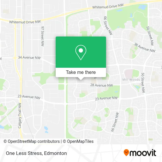
See One Less Stress, Edmonton, on the map
Public Transit to One Less Stress in Edmonton
Wondering how to get to One Less Stress in Edmonton? Moovit helps you find the best way to get to One Less Stress with step-by-step directions from the nearest public transit station.
Moovit provides free maps and live directions to help you navigate through your city. View schedules, routes, timetables, and find out how long does it take to get to One Less Stress in real time.
Looking for the nearest stop or station to One Less Stress? Check out this list of stops closest to your destination: Mill Woods Road & 29 Avenue; Lakewood Road W & 28 Avenue; Mill Woods Road & Lakewood Road S; 82 Street & 34 Avenue; Mill Woods Stop.
Bus: 056, 512, 523, 509, 526, 661, 638, 513.
Want to see if there’s another route that gets you there at an earlier time? Moovit helps you find alternative routes or times. Get directions from and directions to One Less Stress easily from the Moovit App or Website.
We make riding to One Less Stress easy, which is why over 1.5 million users, including users in Edmonton, trust Moovit as the best app for public transit. You don’t need to download an individual bus app or train app, Moovit is your all-in-one transit app that helps you find the best bus time or train time available.
For information on prices of bus, costs and ride fares to One Less Stress, please check the Moovit app.
Use the app to navigate to popular places including to the airport, hospital, stadium, grocery store, mall, coffee shop, school, college, and university.
One Less Stress Address: 29 Ave NW Edmonton, AB T6K 3J9 street in Edmonton
- Laurentian Estates,
- Dental Relief Services,
- Natural Hands Clinic.,
- Avistax Accounting PC,
- Art Effects by Ber,
- Lord Of Life Lutheran Church,
- Trinity Asian Christian Church,
- Lord of Life Lutheran Church Millwoods,
- Edmonton International Church,
- Ladybug Daycare Center,
- R J Industries LTD,
- Karinderya,
- Angela Kostiuk - Sterling,
- Boardwalk Rental Communities,
- Justfixes,
- Capital Region Housing Corp,
- Tipaskan One,
- Care4cleaning,
- Customscape Landscaping and Home Renovation's,
- Streamline Improvement Services
Places Near One Less Stress (Edmonton)
- Kingsway Mall, Edmonton,
- Northgate Centre, Edmonton,
- Borden Park, Edmonton,
- Alberta Legislature Building, Edmonton,
- Kaye Edmonton Clinic, Edmonton,
- Royal Alexandra Hospital, Edmonton,
- Canada Place Service Canada Centre, Edmonton,
- Whyte Avenue, Edmonton,
- University of Alberta, Edmonton,
- Grey Nuns Community Hospital, Edmonton,
- West Edmonton Mall, Edmonton,
- Fort Edmonton Park, Edmonton,
- Londonderry Mall, Edmonton,
- Edmonton Valley Zoo, Edmonton,
- MacEwan University, Edmonton,
- Edmonton EXPO Centre, Edmonton,
- Rogers Place, Edmonton,
- Edmonton VIA Rail Station, Edmonton,
- Edmonton Commonwealth Stadium, Edmonton,
- Cross Cancer Institute, Edmonton
How to get to popular places in Edmonton with public transit
Get around Edmonton by public transit!
Traveling around Edmonton has never been so easy. See step by step directions as you travel to any attraction, street or major public transit station. View bus and train schedules, arrival times, service alerts and detailed routes on a map, so you know exactly how to get to anywhere in Edmonton.
When traveling to any destination around Edmonton use Moovit's Live Directions with Get Off Notifications to know exactly where and how far to walk, how long to wait for your line, and how many stops are left. Moovit will alert you when it's time to get off — no need to constantly re-check whether yours is the next stop.
Wondering how to use public transit in Edmonton or how to pay for public transit in Edmonton? Moovit public transit app can help you navigate your way with public transit easily, and at minimum cost. It includes public transit fees, ticket prices, and costs. Looking for a map of Edmonton public transit lines? Moovit public transit app shows all public transit maps in Edmonton with all Bus and Light Rail routes and stops on an interactive map.
Edmonton has 2 transit type(s), including: Bus and Light Rail, operated by several transit agencies, including ETS LRT, ETS, Strathcona County Transit, St. Albert Transit, Spruce Grove Transit, Fort Saskatchewan Transit, Beaumont Transit and Leduc Transit