How to get to One Solution by bus?
Click on the bus route to see step by step directions with maps, line arrival times and updated time schedules.
From Bergen Community College, Paramus
96 minFrom Carlstadt, NJ, Carlstadt
67 minFrom IKEA Paramus, Paramus
54 minFrom Hackensack Hospital, Hackensack
47 minFrom Paramus, NJ, Paramus
60 minFrom Garden State Plaza, Paramus
49 minFrom Hackensack, NJ, Hackensack
54 minFrom Mountainside Hospital, Glen Ridge
59 minFrom Clifton, NJ, Clifton
65 minFrom Nutley, NJ, Nutley
65 min
How to get to One Solution by train?
Click on the train route to see step by step directions with maps, line arrival times and updated time schedules.
Bus stops near One Solution in Paterson
Train station near One Solution in Paterson
- Hawthorne, 51 min walk,VIEW
Bus lines to One Solution in Paterson
What are the closest stations to One Solution?
The closest stations to One Solution are:
- Union Ave at Manchester Ave is 416 yards away, 5 min walk.
- West Broadway at Belmont Ave is 580 yards away, 7 min walk.
- Belmont Ave at Oxford St is 709 yards away, 9 min walk.
- Hawthorne is 4341 yards away, 51 min walk.
Which bus lines stop near One Solution?
These bus lines stop near One Solution: 703, 712.
Which train line stops near One Solution?
MCL (Suffern)
What’s the nearest bus station to One Solution in Paterson?
The nearest bus station to One Solution in Paterson is Union Ave at Manchester Ave. It’s a 5 min walk away.
What time is the first train to One Solution in Paterson?
The MCL is the first train that goes to One Solution in Paterson. It stops nearby at 5:19 AM.
What time is the last train to One Solution in Paterson?
The MCL is the last train that goes to One Solution in Paterson. It stops nearby at 2:10 AM.
What time is the first bus to One Solution in Paterson?
The 712 is the first bus that goes to One Solution in Paterson. It stops nearby at 5:25 AM.
What time is the last bus to One Solution in Paterson?
The 712 is the last bus that goes to One Solution in Paterson. It stops nearby at 11:02 PM.
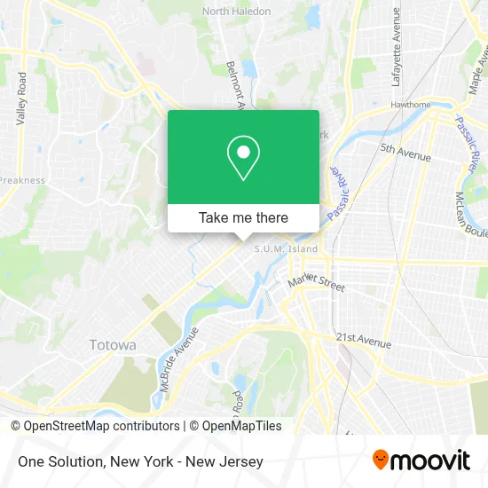
See One Solution, Paterson, on the map
Public Transit to One Solution in Paterson
Wondering how to get to One Solution in Paterson? Moovit helps you find the best way to get to One Solution with step-by-step directions from the nearest public transit station.
Moovit provides free maps and live directions to help you navigate through your city. View schedules, routes, timetables, and find out how long does it take to get to One Solution in real time.
Looking for the nearest stop or station to One Solution? Check out this list of stops closest to your destination: Union Ave at Manchester Ave; West Broadway at Belmont Ave; Belmont Ave at Oxford St; Hawthorne.
Bus: 703, 712, 748.Train: MCL, PJL.
Want to see if there’s another route that gets you there at an earlier time? Moovit helps you find alternative routes or times. Get directions from and directions to One Solution easily from the Moovit App or Website.
We make riding to One Solution easy, which is why over 1.5 million users, including users in Paterson, trust Moovit as the best app for public transit. You don’t need to download an individual bus app or train app, Moovit is your all-in-one transit app that helps you find the best bus time or train time available.
For information on prices of bus and train, costs and ride fares to One Solution, please check the Moovit app.
Use the app to navigate to popular places including to the airport, hospital, stadium, grocery store, mall, coffee shop, school, college, and university.
One Solution Address: 56 Albion Ave street in Paterson
- Lady Nunez Tax Professional Services,
- Saint Mary Help Of Christians - Maria Auxilio De Los Cristianos,
- Dia General Construction,
- Supreme Auto Spa Detail and Tint,
- Supreme Auto Spa,
- Liberty Tax,
- Totowa Branch Library,
- In N Out Smoke Shop,
- Rubia Beauty Salon,
- Aaa Income Tax, Immigration & Multiple Services,
- Los Monos Restaurant,
- Locksmith Paterson NJ,
- Union 5 and 10,
- Bengal Eye Care,
- Blue Rhino Propane Exchange,
- Loudmouth Freelancing,
- Latin Car Express Auto Repair,
- Tasneem Cloth,
- The Champ Hand Car Wash,
- Saleha Corner Store
Places Near One Solution (Paterson)
- Katz's Deli, Manhattan,
- 66 John Street, Manhattan,
- San Gennaro Feast, Manhattan,
- 1 Police Plaza, Manhattan,
- Pier 83, Manhattan,
- Chinatown, Manhattan,
- Wall Street, Manhattan,
- Hudson Yards, Manhattan,
- 26 Federal Plaza, Manhattan,
- SoHo, Manhattan,
- Bellevue Hospital, Manhattan,
- qqqq, Manhattan,
- 376 Hudson Street, Manhattan,
- 111 Centre New York City Supreme Court, Manhattan,
- Mountainside Hospital, Glen Ridge,
- 911 Memorial, Manhattan,
- Rockefeller Center, Manhattan,
- 3 Stone St, Manhattan,
- Times Square, Manhattan,
- Queens Center Mall, Queens
How to get to popular places in New York - New Jersey with public transit
Get around Paterson by public transit!
Traveling around Paterson has never been so easy. See step by step directions as you travel to any attraction, street or major public transit station. View bus and train schedules, arrival times, service alerts and detailed routes on a map, so you know exactly how to get to anywhere in Paterson.
When traveling to any destination around Paterson use Moovit's Live Directions with Get Off Notifications to know exactly where and how far to walk, how long to wait for your line, and how many stops are left. Moovit will alert you when it's time to get off — no need to constantly re-check whether yours is the next stop.
Wondering how to use public transit in Paterson or how to pay for public transit in Paterson? Moovit public transit app can help you navigate your way with public transit easily, and at minimum cost. It includes public transit fees, ticket prices, and costs. Looking for a map of Paterson public transit lines? Moovit public transit app shows all public transit maps in Paterson with all Bus, Train, Subway, Light Rail, Ferry and Cable Car routes and stops on an interactive map.
New York - New Jersey has 6 transit type(s), including: Bus, Train, Subway, Light Rail, Ferry and Cable Car, operated by several transit agencies, including MTA Subway, Metro-North Railroad, LIRR, PATH, MTA New York City Transit - Express routes, MTA Bus, NJ Transit, NYC Ferry, NICE bus, Bee-Line Bus, NJ Transit Rail, Norwalk Transit District, Hartford Line, River Valley Transit and HART