How to get to Opplev Filefjell da by bus?
Click on the bus route to see step by step directions with maps, line arrival times and updated time schedules.
From Spiterstulen Turisthytte, Lom
537 minFrom Fýri Resort, Hemsedal
325 minFrom Stegastein Viewpoint / Utsiktspunkt, Aurland
79 minFrom Langedrag Naturpark, Nes
360 minFrom Vestlia Resort Geilo, Hol
562 minFrom Breistølen Fjellstue, Hemsedal
314 minFrom Storefjell Hotel, Gol
345 minFrom Winjum Cabin Aurland Stegastein, Aurland
82 min
Bus stop near Opplev Filefjell da in Vang
- Tyinkrysset, 7 min walk,VIEW
Bus lines to Opplev Filefjell da in Vang
What are the closest stations to Opplev Filefjell da?
The closest stations to Opplev Filefjell da are:
- Tyinkrysset is 463 meters away, 7 min walk.
Which bus line stops near Opplev Filefjell da?
VY450 (Årdal)
What’s the nearest bus station to Opplev Filefjell da in Vang?
The nearest bus station to Opplev Filefjell da in Vang is Tyinkrysset. It’s a 7 min walk away.
What time is the first bus to Opplev Filefjell da in Vang?
The VY450 is the first bus that goes to Opplev Filefjell da in Vang. It stops nearby at 9:37 AM.
What time is the last bus to Opplev Filefjell da in Vang?
The VY450 is the last bus that goes to Opplev Filefjell da in Vang. It stops nearby at 8:56 PM.
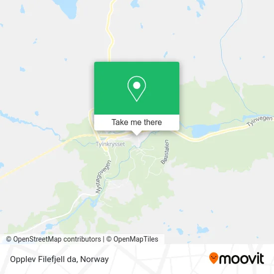
See Opplev Filefjell da, Vang, on the map
Public Transit to Opplev Filefjell da in Vang
Wondering how to get to Opplev Filefjell da in Vang? Moovit helps you find the best way to get to Opplev Filefjell da with step-by-step directions from the nearest public transit station.
Moovit provides free maps and live directions to help you navigate through your city. View schedules, routes, timetables, and find out how long does it take to get to Opplev Filefjell da in real time.
Looking for the nearest stop or station to Opplev Filefjell da? Check out this list of stops closest to your destination: Tyinkrysset.
Bus: VY450, 138, 303.
Want to see if there’s another route that gets you there at an earlier time? Moovit helps you find alternative routes or times. Get directions from and directions to Opplev Filefjell da easily from the Moovit App or Website.
We make riding to Opplev Filefjell da easy, which is why over 1.5 million users, including users in Vang, trust Moovit as the best app for public transit. You don’t need to download an individual bus app or train app, Moovit is your all-in-one transit app that helps you find the best bus time or train time available.
For information on prices of bus and train, costs and ride fares to Opplev Filefjell da, please check the Moovit app.
Use the app to navigate to popular places including to the airport, hospital, stadium, grocery store, mall, coffee shop, school, college, and university.
Opplev Filefjell da Address: Tørisvegen 1 2985 Tyinkrysset street in Vang
- Intersport,
- Circle K Automat,
- Ola K Strand,
- Intersport,
- Kyrkjestølen B & B,
- Tyin-Filefjell Skisenter,
- Filefjell Alpin,
- Tyinkrysset Station,
- Holiday Home Tyinkrysset 18,
- Tyin Eiendom AS,
- Tyin Aktiv,
- Tyin/Filefjell Utvikli,
- Fondsbu,
- Tyinstølen Turisthytte,
- Kjell Ivar Aalseth,
- Tyin Panorama,
- Tyin,
- Tyin,
- Tverråni,
- Jukulhammaren
Places Near Opplev Filefjell da (Vang)
- Voldsløkka, Oslo,
- Nylandsbrua, Oslo,
- Drammen Sykehus, Drammen,
- Ikea Leangen, Trondheim,
- Bjerke Travbane, Oslo,
- Oslo S spor 19 (Trelastgata), Oslo,
- Rikshospitalet (trikk), Oslo,
- Quality Hotel Edvard Grieg, Bergen,
- Ulriken, Bergen,
- Haukeland Universitetssjukehus, Bergen,
- Vestby Outlet Store, Vestby,
- Jekta Storsenter, Tromsø,
- Lovisenberg Diakonale Sykehus, Oslo,
- IKEA, Bergen,
- DFDS Seaways, Oslo,
- IKEA, Oslo,
- Ullevål Stadion (T), Oslo,
- Radiumhospitalet, Oslo,
- Tyholttårnet, Trondheim,
- Color Line Terminal, Oslo
How to get to popular places in Norway with public transit
Get around Vang by public transit!
Traveling around Vang has never been so easy. See step by step directions as you travel to any attraction, street or major public transit station. View bus and train schedules, arrival times, service alerts and detailed routes on a map, so you know exactly how to get to anywhere in Vang.
When traveling to any destination around Vang use Moovit's Live Directions with Get Off Notifications to know exactly where and how far to walk, how long to wait for your line, and how many stops are left. Moovit will alert you when it's time to get off — no need to constantly re-check whether yours is the next stop.
Wondering how to use public transit in Vang or how to pay for public transit in Vang? Moovit public transit app can help you navigate your way with public transit easily, and at minimum cost. It includes public transit fees, ticket prices, and costs. Looking for a map of Vang public transit lines? Moovit public transit app shows all public transit maps in Vang with all Bus, Train, Subway, Light Rail, Ferry and Cable Car routes and stops on an interactive map.
Norway has 6 transit type(s), including: Bus, Train, Subway, Light Rail, Ferry and Cable Car, operated by several transit agencies, including Ruter, Skyss, AtB, Flytoget, Vy Tåg, SJ, Go-Ahead Norge AS, SJ Nord, Vestfold Kollektivtrafikk as, Snelandia, Innlandstrafikk, FRAM, FlixBus, Kolumbus and Brakar