Directions to Orange (Rosh HaAyin) with public transportation
The following transit lines have routes that pass near Orange
 Bus: 5A, 3, 3A, 5A, 12.
- Israel Railways: Ofakim - Herzliya, Ashdod Ad Halom - Herzliya, Ashkelon - Herzliya, Be'er Sheva Center - Herzliya, Herzliya - Ofakim.
How to get to Orange by bus?
Click on the bus route to see step by step directions with maps, line arrival times and updated time schedules.
From Moshe Dayan, Petah Tikva
32 minFrom Petah Tikva Magistrate Court, Petah Tikva
34 minFrom Beser Towers Petah Tikva, Petah Tikva
29 minFrom Baser City 2, Petah Tikva
27 minFrom Yitzhak Rabin Road, Petah Tikva
33 minFrom Sharonim Mall, Hod HaSharon
32 minFrom The Grand Mall Petah Tikva, Petah Tikva
30 minFrom Shaham, Petah Tikva
34 minFrom Ofer Grand Mall, Petah Tikva
31 minFrom Kiryat Aryeh, Petah Tikva
32 min
Bus stops near Orange in Rosh HaAyin
Israel Railways station near Orange in Rosh HaAyin
- Rosh HaAyin North Station, 49 min walk,VIEW
Bus lines to Orange in Rosh HaAyin
- 3, Jaljulia,VIEW
- 3A, Rosh HaAyin,VIEW
- 5A, Petah Tikva,VIEW
- 12, Kafr Qasim,VIEW
- 12A, Rosh HaAyin,VIEW
- 13, Kafr Qasim,VIEW
- 13A, Rosh HaAyin,VIEW
- 14, Kafr Qasim,VIEW
- 14A, Rosh HaAyin,VIEW
- 38, Rosh HaAyin North Railway Station/Drop-off,VIEW
- 50, Ariel,VIEW
- 176, Elad,VIEW
- 285, Etz Efraim,VIEW
- 285, Ariel,VIEW
- 478, Rosh HaAyin,VIEW
- 576, Kfar Saba,VIEW
- 1, Rosh HaAyin,VIEW
- 4, Rosh HaAyin,VIEW
- 5, Kafr Qasim,VIEW
- 114, Kafr Qasim,VIEW
What are the closest stations to Orange?
The closest stations to Orange are:
- Amal A is 172 meters away, 3 min walk.
- Afek Park Junction is 367 meters away, 5 min walk.
- Rosh HaAyin East Interchange is 547 meters away, 8 min walk.
- Sibal Park/Road 5 Exit is 554 meters away, 8 min walk.
- Ali ibn Abi Talib/Al Safa is 1200 meters away, 16 min walk.
- Rosh HaAyin North Station is 3789 meters away, 49 min walk.
Which bus line stops near Orange?
5A (Petah Tikva→Kafr Qasim)
What’s the nearest bus station to Orange in Rosh HaAyin?
The nearest bus station to Orange in Rosh HaAyin is Amal A. It’s a 3 min walk away.
What time is the first Israel Railways to Orange in Rosh HaAyin?
The Herzliya - Be'er Sheva Center is the first Israel Railways that goes to Orange in Rosh HaAyin. It stops nearby at 5:37 AM.
What time is the last Israel Railways to Orange in Rosh HaAyin?
The Be'er Sheva Center - Herzliya is the last Israel Railways that goes to Orange in Rosh HaAyin. It stops nearby at 12:28 AM.
What time is the first bus to Orange in Rosh HaAyin?
The 186 is the first bus that goes to Orange in Rosh HaAyin. It stops nearby at 5:04 AM.
What time is the last bus to Orange in Rosh HaAyin?
The 186 is the last bus that goes to Orange in Rosh HaAyin. It stops nearby at 1:18 AM.
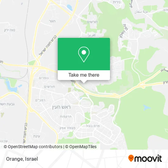
See Orange, Rosh HaAyin, on the map
Public Transit to Orange in Rosh HaAyin
Wondering how to get to Orange in Rosh HaAyin? Moovit helps you find the best way to get to Orange with step-by-step directions from the nearest public transit station.
Moovit provides free maps and live directions to help you navigate through your city. View schedules, routes, timetables, and find out how long does it take to get to Orange in real time.
Looking for the nearest stop or station to Orange? Check out this list of stops closest to your destination: Amal A; Afek Park Junction; Rosh HaAyin East Interchange; Sibal Park/Road 5 Exit; Ali ibn Abi Talib/Al Safa; Rosh HaAyin North Station.
Bus: 5A, 3, 3A, 5A, 12, 12A, 1, 4, 5, 114, 145, 19, 20, 21, 65, 75, 72, 250, 282, 283, 566, 285.Israel Railways: Ofakim - Herzliya, Ashdod Ad Halom - Herzliya, Ashkelon - Herzliya, Be'er Sheva Center - Herzliya, Herzliya - Ofakim.
Want to see if there’s another route that gets you there at an earlier time? Moovit helps you find alternative routes or times. Get directions from and directions to Orange easily from the Moovit App or Website.
We make riding to Orange easy, which is why over 1.5 million users, including users in Rosh HaAyin, trust Moovit as the best app for public transit. You don’t need to download an individual bus app or train app, Moovit is your all-in-one transit app that helps you find the best bus time or train time available.
For information on prices of bus, costs and ride fares to Orange, please check the Moovit app.
Use the app to navigate to popular places including to the airport, hospital, stadium, grocery store, mall, coffee shop, school, college, and university.
Orange Address: Haamal 8 (Park Afek) street in Rosh HaAyin
- And Guy,
- Orange - Rosh HaAyin,
- Partner,
- Yes I Am Still Working,
- Afek Industrial Park,
- Cloudzone,
- Ei Gedi Palazzi,
- Summer on the Roof - Rita's Performance,
- New Industrial Zone,
- Traffilog,
- Partner CEO Office,
- Lilit Cosmetics,
- Afek Park,
- Better Place,
- Afek Park,
- Digital Printing Ofek,
- Reshef Printing Solutions,
- Promet Trade and Services Ltd,
- Doma Marketing for Construction and Trade (1996) Ltd,
- Amal
Places Near Orange (Rosh HaAyin)
- HaKotel, Jerusalem,
- Yarkon Park, Tel Aviv-Yafo,
- Ichilov Hospital, Tel Aviv-Yafo,
- Expo Tel Aviv, Tel Aviv-Yafo,
- Glilot Complex, Hof HaSharon Regional Council,
- Bislach 17, Ramat Negev Regional Council,
- Tel Hashomer Base, Ramat Gan,
- Ramat Gan Stadium, Ramat Gan,
- Southern Medical Center, Ramat Negev Regional Council,
- Beilinson Hospital, Petah Tikva,
- Carmel Market, Tel Aviv-Yafo,
- Tel HaShomer North Gate, Ramat Gan,
- Kashcafe, Kiryat Ata,
- Gideon Camp - Military Base 7, Emek Lod Regional Council,
- Menora Mivtachim Arena, Tel Aviv-Yafo,
- Dizengoff Center, Tel Aviv-Yafo,
- Moovit Office, Nes Ziona,
- Assuta Hospital - Ramat HaHayal, Tel Aviv-Yafo,
- Azrieli, Tel Aviv-Yafo,
- Bloomfield Stadium, Tel Aviv-Yafo
How to get to popular places in Israel with public transit
Get around Rosh HaAyin by public transit!
Traveling around Rosh HaAyin has never been so easy. See step by step directions as you travel to any attraction, street or major public transit station. View bus and train schedules, arrival times, service alerts and detailed routes on a map, so you know exactly how to get to anywhere in Rosh HaAyin.
When traveling to any destination around Rosh HaAyin use Moovit's Live Directions with Get Off Notifications to know exactly where and how far to walk, how long to wait for your line, and how many stops are left. Moovit will alert you when it's time to get off — no need to constantly re-check whether yours is the next stop.
Wondering how to use public transit in Rosh HaAyin or how to pay for public transit in Rosh HaAyin? Moovit public transit app can help you navigate your way with public transit easily, and at minimum cost. It includes public transit fees, ticket prices, and costs. Looking for a map of Rosh HaAyin public transit lines? Moovit public transit app shows all public transit maps in Rosh HaAyin with all Bus, Israel Railways, Light Rail, Carmelit / Rachbalit and Shuttle routes and stops on an interactive map.
Israel has 5 transit type(s), including: Bus, Israel Railways, Light Rail, Carmelit / Rachbalit and Shuttle, operated by several transit agencies, including Dan, Tel Aviv Light Rail - Tevel - Red Line, Israel Railways, Egged, Metropoline, Kavim, Electra Afikim, Nateev Express, Extra, Extra Jerusalem, Jerusalem Light Rail - Kfir, Egged Jerusalem Envelope Route, Dan Badarom, Dan Beer-Sheva and Electra Afikim Transport
