How to get to Orbitec by bus?
Click on the bus route to see step by step directions with maps, line arrival times and updated time schedules.
From Stade Charléty, Paris
59 minFrom 6 Rue Paganini, Paris
85 minFrom La Samaritaine, Paris
36 minFrom La Seine Musicale, Boulogne-Billancourt
71 minFrom Musée D'Orsay, Paris
44 minFrom Bercy Village, Paris
85 minFrom UGC Ciné Cité Bercy, Paris
87 minFrom Hôpital Saint Antoine, Paris
55 minFrom Clinique Jouvenet, Paris
51 minFrom Sorbonne, Paris
54 min
How to get to Orbitec by train?
Click on the train route to see step by step directions with maps, line arrival times and updated time schedules.
How to get to Orbitec by metro?
Click on the metro route to see step by step directions with maps, line arrival times and updated time schedules.
From Stade Charléty, Paris
63 minFrom 6 Rue Paganini, Paris
56 minFrom La Samaritaine, Paris
39 minFrom La Seine Musicale, Boulogne-Billancourt
74 minFrom Musée D'Orsay, Paris
46 minFrom Bercy Village, Paris
40 minFrom UGC Ciné Cité Bercy, Paris
43 minFrom Hôpital Saint Antoine, Paris
47 minFrom Clinique Jouvenet, Paris
57 minFrom Sorbonne, Paris
49 min
Bus stops near Orbitec in Clichy
Train stations near Orbitec in Clichy
Metro station near Orbitec in Clichy
- Porte de Clichy, 15 min walk,VIEW
Bus lines to Orbitec in Clichy
What are the closest stations to Orbitec?
The closest stations to Orbitec are:
- Mairie de Clichy is 95 meters away, 2 min walk.
- Mairie de Clichy - Métro is 124 meters away, 2 min walk.
- Landy - Martre is 217 meters away, 3 min walk.
- Clichy - Levallois is 710 meters away, 10 min walk.
- Gare D'Asnieres is 979 meters away, 13 min walk.
- Porte de Clichy is 1118 meters away, 15 min walk.
Which bus lines stop near Orbitec?
These bus lines stop near Orbitec: 274, 341, 54, 74.
Which train line stops near Orbitec?
L (Cergy-le-Haut/ Versailles-Rive-Droite/ Saint-Nom-la-Bretèche - Forêt de Marly)
Which metro line stops near Orbitec?
14 (Olympiades)
What’s the nearest metro station to Orbitec in Clichy?
The nearest metro station to Orbitec in Clichy is Porte de Clichy. It’s a 15 min walk away.
What’s the nearest train station to Orbitec in Clichy?
The nearest train station to Orbitec in Clichy is Clichy - Levallois. It’s a 10 min walk away.
What’s the nearest bus station to Orbitec in Clichy?
The nearest bus stations to Orbitec in Clichy are Mairie de Clichy and Mairie de Clichy - Métro. The closest one is a 2 min walk away.
What time is the first light rail to Orbitec in Clichy?
The T3B is the first light rail that goes to Orbitec in Clichy. It stops nearby at 6:06 AM.
What time is the last light rail to Orbitec in Clichy?
The T3B is the last light rail that goes to Orbitec in Clichy. It stops nearby at 1:12 AM.
What time is the first metro to Orbitec in Clichy?
The 14 is the first metro that goes to Orbitec in Clichy. It stops nearby at 5:30 AM.
What time is the last metro to Orbitec in Clichy?
The 14 is the last metro that goes to Orbitec in Clichy. It stops nearby at 1:13 AM.
What time is the first train to Orbitec in Clichy?
The J is the first train that goes to Orbitec in Clichy. It stops nearby at 5:02 AM.
What time is the last train to Orbitec in Clichy?
The J is the last train that goes to Orbitec in Clichy. It stops nearby at 1:07 AM.
What time is the first bus to Orbitec in Clichy?
The N51 is the first bus that goes to Orbitec in Clichy. It stops nearby at 3:01 AM.
What time is the last bus to Orbitec in Clichy?
The N51 is the last bus that goes to Orbitec in Clichy. It stops nearby at 3:38 AM.
What time is the first RER to Orbitec in Clichy?
The C is the first RER that goes to Orbitec in Clichy. It stops nearby at 5:24 AM.
What time is the last RER to Orbitec in Clichy?
The C is the last RER that goes to Orbitec in Clichy. It stops nearby at 12:36 AM.
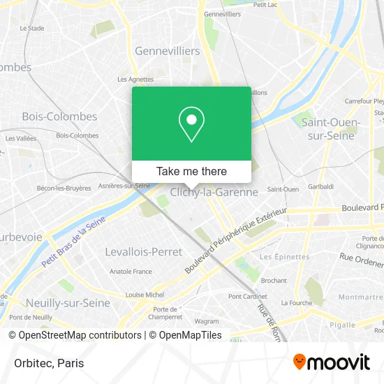
See Orbitec, Clichy, on the map
Public Transit to Orbitec in Clichy
Wondering how to get to Orbitec in Clichy? Moovit helps you find the best way to get to Orbitec with step-by-step directions from the nearest public transit station.
Moovit provides free maps and live directions to help you navigate through your city. View schedules, routes, timetables, and find out how long does it take to get to Orbitec in real time.
Looking for the nearest stop or station to Orbitec? Check out this list of stops closest to your destination: Mairie de Clichy; Mairie de Clichy - Métro; Landy - Martre; Clichy - Levallois; Gare D'Asnieres; Porte de Clichy.
Bus: 274, 341, 54, 74, 174, N15, N51, TUC.Train: L, J.Metro: 14, C, T3B, 13.
Want to see if there’s another route that gets you there at an earlier time? Moovit helps you find alternative routes or times. Get directions from and directions to Orbitec easily from the Moovit App or Website.
We make riding to Orbitec easy, which is why over 1.5 million users, including users in Clichy, trust Moovit as the best app for public transit. You don’t need to download an individual bus app or train app, Moovit is your all-in-one transit app that helps you find the best bus time or train time available.
For information on prices of metro, bus, train and light rail, costs and ride fares to Orbitec, please check the Moovit app.
Use the app to navigate to popular places including to the airport, hospital, stadium, grocery store, mall, coffee shop, school, college, and university.
Orbitec Address: 28 Rue Fernand Pelloutier 92110 Clichy street in Clichy
- Fremapi,
- Lycée René Auffray,
- Outre-Mer Business Expansion,
- Aid Computers,
- Cepa Ascenseurs,
- Greta 92 Nord,
- Lycée Hôtelier René Auffray,
- 23 Rue Fernand Pelloutier,
- Aarpi Castling Avocats Associés,
- Institut Formation Soins Infirmiers,
- Auto-École Mg,
- Bobby and Co,
- 9 Rue de l'Abreuvoir,
- Acadomia,
- Arrêt Fournier [174],
- Ben,
- Fattgrog & Ekkyo's,
- La Veilleuse,
- Ac1 Sécurité,
- Glow Up Institut
Places Near Orbitec (Clichy)
- Créteil Soleil, Creteil,
- Hôpital de la Pitié-Salpêtrière, Paris,
- Hôpital Cochin, Paris,
- Théâtre Mogador, Paris,
- Hôpital Necker, Paris,
- Galeries Lafayette Haussmann, Paris,
- Hôpital Beaujon, Clichy,
- Hôpital Pitié Salpêtrière, Paris,
- Fondation Louis Vuitton, Paris,
- Hopital Foch, Suresnes,
- Atelier Des Lumieres, Paris,
- Hopital Lariboisière, Paris,
- Gare Routière Flixbus, Paris,
- Marché Saint-Pierre, Paris,
- Centre Hospitalier des 15/20, Paris,
- Hôpital Saint-Joseph, Paris,
- Galeries Lafayette, Paris,
- Beaugrenelle, Paris,
- Hôpital Henri Mondor, Creteil,
- 29 Rue Manin, Paris
How to get to popular places in Paris with public transit
Get around Clichy by public transit!
Traveling around Clichy has never been so easy. See step by step directions as you travel to any attraction, street or major public transit station. View bus and train schedules, arrival times, service alerts and detailed routes on a map, so you know exactly how to get to anywhere in Clichy.
When traveling to any destination around Clichy use Moovit's Live Directions with Get Off Notifications to know exactly where and how far to walk, how long to wait for your line, and how many stops are left. Moovit will alert you when it's time to get off — no need to constantly re-check whether yours is the next stop.
Wondering how to use public transit in Clichy or how to pay for public transit in Clichy? Moovit public transit app can help you navigate your way with public transit easily, and at minimum cost. It includes public transit fees, ticket prices, and costs. Looking for a map of Clichy public transit lines? Moovit public transit app shows all public transit maps in Clichy with all Bus, Train, Metro, Light Rail, RER, Funicular and Gondola routes and stops on an interactive map.
Paris has 7 transit type(s), including: Bus, Train, Metro, Light Rail, RER, Funicular and Gondola, operated by several transit agencies, including RATP, RER, RER Bus de remplacement, Train, Train Bus de remplacement, Tramway Bus de remplacement, TER, ADP, Magical Shuttle, Argenteuil - Boucles de Seine, Autocars Dominique, Bièvre, Brie et 2 Morin, Le Bus - C.C. du Clermontois and Cœur d’Essonne