Directions to Ospia (Anne Arundel County) with public transportation
The following transit lines have routes that pass near Ospia
 Bus: 70.
How to get to Ospia by bus?
Click on the bus route to see step by step directions with maps, line arrival times and updated time schedules.
From Annapolis Mall, Anne Arundel County
72 minFrom Glen Burnie, MD, Anne Arundel County
43 minFrom Archbishop Spalding High School, Severn
83 minFrom MD Live Casino Arundel Mills, Anne Arundel County
134 minFrom MVA Glen Burnie, Anne Arundel County
53 minFrom Maryland Live! Casino, Anne Arundel County
138 minFrom Arundel Mills, Anne Arundel County
136 min
Bus stop near Ospia in Anne Arundel County
- Baltimore Annapolis Blvd & Cypress Creek Rd Nb, 3 min walk,VIEW
Bus lines to Ospia in Anne Arundel County
- 70, Um Medical Center,VIEW
What are the closest stations to Ospia?
The closest stations to Ospia are:
- Baltimore Annapolis Blvd & Cypress Creek Rd Nb is 194 yards away, 3 min walk.
Which bus line stops near Ospia?
70 (Annapolis)
What’s the nearest bus station to Ospia in Anne Arundel County?
The nearest bus station to Ospia in Anne Arundel County is Baltimore Annapolis Blvd & Cypress Creek Rd Nb. It’s a 3 min walk away.
What time is the first bus to Ospia in Anne Arundel County?
The 70 is the first bus that goes to Ospia in Anne Arundel County. It stops nearby at 5:17 AM.
What time is the last bus to Ospia in Anne Arundel County?
The 70 is the last bus that goes to Ospia in Anne Arundel County. It stops nearby at 2:45 AM.
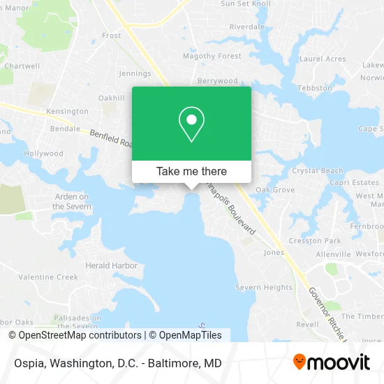
See Ospia, Anne Arundel County, on the map
Public Transit to Ospia in Anne Arundel County
Wondering how to get to Ospia in Anne Arundel County? Moovit helps you find the best way to get to Ospia with step-by-step directions from the nearest public transit station.
Moovit provides free maps and live directions to help you navigate through your city. View schedules, routes, timetables, and find out how long does it take to get to Ospia in real time.
Looking for the nearest stop or station to Ospia? Check out this list of stops closest to your destination: Baltimore Annapolis Blvd & Cypress Creek Rd Nb.
Bus: 70.
Want to see if there’s another route that gets you there at an earlier time? Moovit helps you find alternative routes or times. Get directions from and directions to Ospia easily from the Moovit App or Website.
We make riding to Ospia easy, which is why over 1.7 million users, including users in Anne Arundel County, trust Moovit as the best app for public transit. You don’t need to download an individual bus app or train app, Moovit is your all-in-one transit app that helps you find the best bus time or train time available.
For information on prices of bus, light rail and train, costs and ride fares to Ospia, please check the Moovit app.
Use the app to navigate to popular places including to the airport, hospital, stadium, grocery store, mall, coffee shop, school, college, and university.
Location: Anne Arundel County, Washington, D.C. - Baltimore, MD
- Olde Severna Park - Hatton Memorial Beach,
- Severna Park, MD,
- Hatton Register Green,
- Gardiner & Appel Group,
- Severna Park Community Library: Anne Arundel County Public Library (AACPL),
- Sport Fit,
- 126 Cedar Rd,
- Dr. Elba Pacheco,
- Kohl's,
- Popeyes Louisiana Kitchen,
- Provident Mortgage,
- Park And Ride - Arundel Beach Road,
- Inspired Pear,
- Carpenters Hill Cemetery,
- Trinity Exteriors Llc,
- Baltimore Annapolis Blvd (Baltimore Annapolis Blvd and ritchie),
- Jones Station Rd & Severna Park Park & Ride MB NB,
- Severna Park Park & Ride,
- Vac Sew Fan Lite,
- Straw Albaugh Appraisals
Places Near Ospia (Anne Arundel County)
- Georgetown, Washington,
- Camden Yards, Baltimore,
- Rock Creek Tennis Center, Washington,
- Pennsylvania Ave NW (3rd st and pennsylvania), Washington,
- Washington National Cathedral, Washington,
- Basilica of the National Shrine, Washington,
- National Zoo, Washington,
- Sibley Memorial Hospital, Washington,
- Warner Theatre, Washington,
- PG Mall, Prince George's County,
- National Museum of African American History and Culture, Washington,
- Washington DC VA Medical Center, Washington,
- Capital One Arena, Washington,
- Museum Of The Bible, Washington,
- Westfield Montgomery Mall, Montgomery County,
- Marriott Marquis Washington, DC, Washington,
- National Theatre, Washington,
- M&T Bank Stadium, Baltimore,
- Amazon Hq2, Arlington County,
- The Anthem, Washington
How to get to popular places in Washington, D.C. - Baltimore, MD with public transit
Get around Anne Arundel County by public transit!
Traveling around Anne Arundel County has never been so easy. See step by step directions as you travel to any attraction, street or major public transit station. View bus and train schedules, arrival times, service alerts and detailed routes on a map, so you know exactly how to get to anywhere in Anne Arundel County.
When traveling to any destination around Anne Arundel County use Moovit's Live Directions with Get Off Notifications to know exactly where and how far to walk, how long to wait for your line, and how many stops are left. Moovit will alert you when it's time to get off — no need to constantly re-check whether yours is the next stop.
Wondering how to use public transit in Anne Arundel County or how to pay for public transit in Anne Arundel County? Moovit public transit app can help you navigate your way with public transit easily, and at minimum cost. It includes public transit fees, ticket prices, and costs. Looking for a map of Anne Arundel County public transit lines? Moovit public transit app shows all public transit maps in Anne Arundel County with all Bus, Train, Metro, Light Rail and Ferry routes and stops on an interactive map.
Washington, D.C. - Baltimore, MD has 5 transit type(s), including: Bus, Train, Metro, Light Rail and Ferry, operated by several transit agencies, including WMATA, Montgomery County Ride On, Fairfax Connector, TheBus, PRTC, DASH - Alexandria, Arlington Transit (ART), RTA of Central Maryland, MDOT MTA, MDOT MTA Light RailLink, MDOT MTA Commuter Bus, MDOT MTA Local Bus, FXBGO!, Virginia Railway Express (VRE) and MARC