How to get to Owens @ Eastern by bus?
Click on the bus route to see step by step directions with maps, line arrival times and updated time schedules.
From Golden Tiki, Paradise
66 minFrom Whittlesea Bell / Presidential Limousine, Las Vegas
54 minFrom Gordon Ramsay Fish & Chips, Paradise
70 minFrom Las Vegas Monorail - Harrah's/The Linq Station, Paradise
69 minFrom Marriott s Grand Chateau, Paradise
78 minFrom Sam's Town Hotel and Casino - Las Vegas, Sunrise Manor
52 minFrom Rio Shuttles To Harrah's & Paris & Bally's, Paradise
73 minFrom Earl of Sandwich (Earl Of Sandwich At Planet Hollywood), Paradise
64 minFrom Jockey Club Las Vegas, Paradise
49 minFrom Losee Rd / E Craig Rd, North Las Vegas
57 min
Bus stops near Owens @ Eastern in Las Vegas
Bus lines to Owens @ Eastern in Las Vegas
What are the closest stations to Owens @ Eastern?
The closest stations to Owens @ Eastern are:
- Wb Owens Before Mcdaniels is 115 yards away, 2 min walk.
- Sb Eastern After Owens is 393 yards away, 5 min walk.
- Eb Searles After 21st is 496 yards away, 6 min walk.
Which bus lines stop near Owens @ Eastern?
These bus lines stop near Owens @ Eastern: 110, 208, 209.
What’s the nearest bus station to Owens @ Eastern in Las Vegas?
The nearest bus station to Owens @ Eastern in Las Vegas is Wb Owens Before Mcdaniels. It’s a 2 min walk away.
What time is the first bus to Owens @ Eastern in Las Vegas?
The 110 is the first bus that goes to Owens @ Eastern in Las Vegas. It stops nearby at 3:21 AM.
What time is the last bus to Owens @ Eastern in Las Vegas?
The 110 is the last bus that goes to Owens @ Eastern in Las Vegas. It stops nearby at 3:21 AM.
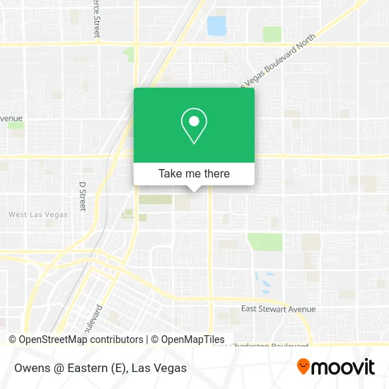
See Owens @ Eastern, Las Vegas, on the map
Public Transit to Owens @ Eastern in Las Vegas
Wondering how to get to Owens @ Eastern in Las Vegas? Moovit helps you find the best way to get to Owens @ Eastern with step-by-step directions from the nearest public transit station.
Moovit provides free maps and live directions to help you navigate through your city. View schedules, routes, timetables, and find out how long does it take to get to Owens @ Eastern in real time.
Looking for the nearest stop or station to Owens @ Eastern? Check out this list of stops closest to your destination: Wb Owens Before Mcdaniels; Sb Eastern After Owens; Eb Searles After 21st.
Bus: 110, 208, 209.
Want to see if there’s another route that gets you there at an earlier time? Moovit helps you find alternative routes or times. Get directions from and directions to Owens @ Eastern easily from the Moovit App or Website.
We make riding to Owens @ Eastern easy, which is why over 1.7 million users, including users in Las Vegas, trust Moovit as the best app for public transit. You don’t need to download an individual bus app or train app, Moovit is your all-in-one transit app that helps you find the best bus time or train time available.
For information on prices of bus and Monorail, costs and ride fares to Owens @ Eastern, please check the Moovit app.
Use the app to navigate to popular places including to the airport, hospital, stadium, grocery store, mall, coffee shop, school, college, and university.
Owens @ Eastern Address: E Owens Ave North Las Vegas, NV 89030 street in Las Vegas
- On Site Plumber & Leak Detection North Las Vegas,
- Wolfx Liquidation,
- Aven Restoration Lasvegas,
- Blue Horizon Pool Services,
- El Buen Sabor,
- El Molca Mariscos Y Tacos,
- J D Smith Ms,
- Rancho High School,
- Francis Maloney Writes,
- Family Personal Care Llc,
- Llantera Brakes Tires,
- Us Tire Center And Auto Repair,
- Western Union,
- Llantera 3 Hermanos,
- Farmers Insurance - Ernie Rodgers,
- Emmanuel Medical Center,
- Psych 360 Wellness,
- Aaron Pharmacy Inc,
- Bank Of America Atm,
- Medical Waste Pros
Places Near Owens @ Eastern (Las Vegas)
- Las Vegas Premium Outlets-North, Enterprise,
- Arte Museum Las Vegas, Paradise,
- The Deuce Bus Stop at Fremont St, Las Vegas,
- Area15, Las Vegas,
- Gold & Silver Pawn Shop, Las Vegas,
- Walmart Supercenter, Las Vegas,
- The Neon Museum, Las Vegas,
- Meow Wolf - Las Vegas (Meow Wolf's Omega Mart), Las Vegas,
- The Palms Casino Resort, Paradise,
- Zak Bagans Haunted Museum, Las Vegas,
- Las Vegas South Premium Outlets, Enterprise,
- Koolsville Tattoos, Las Vegas,
- Town Square, Enterprise,
- Trump International Hotel Las Vegas, Paradise,
- Las Vegas North Premium Outlets, Las Vegas,
- Walmart, Las Vegas,
- Omega Mart, Las Vegas,
- Lee Canyon, Las Vegas,
- Allegiant Stadium, Paradise,
- Welcome To Fabulous Las Vegas Sign, Paradise
How to get to popular places in Las Vegas with public transit
Get around Las Vegas by public transit!
Traveling around Las Vegas has never been so easy. See step by step directions as you travel to any attraction, street or major public transit station. View bus and train schedules, arrival times, service alerts and detailed routes on a map, so you know exactly how to get to anywhere in Las Vegas.
When traveling to any destination around Las Vegas use Moovit's Live Directions with Get Off Notifications to know exactly where and how far to walk, how long to wait for your line, and how many stops are left. Moovit will alert you when it's time to get off — no need to constantly re-check whether yours is the next stop.
Wondering how to use public transit in Las Vegas or how to pay for public transit in Las Vegas? Moovit public transit app can help you navigate your way with public transit easily, and at minimum cost. It includes public transit fees, ticket prices, and costs. Looking for a map of Las Vegas public transit lines? Moovit public transit app shows all public transit maps in Las Vegas with all Bus and Monorail routes and stops on an interactive map.
Las Vegas has 2 transit type(s), including: Bus and Monorail, operated by several transit agencies, including RTCSNV, City of Las Vegas, Alvand Transportation, Vegas Airporter, Las Vegas Monorail, FlixBus-us and Greyhound-us