PCH & Loynes SW stop - Sunday schedule
| Line | Direction | Time |
|---|---|---|
| 121 | 121 Ocean to Catalina Landing | 5:18 AM |
| 121 | 121 Ocean to Catalina Landing | 6:18 AM |
| 121 | 121 Ocean to Catalina Landing | 7:04 AM |
| 121 | 121 Ocean to Catalina Landing | 7:34 AM |
| 121 | 121 Ocean to Catalina Landing | 8:02 AM |
| 171 | 171 PCH to Seal Beach via CSULB | 8:04 AM |
| 121 | 121 Ocean to Catalina Landing | 8:32 AM |
| 171 | 171 PCH to Seal Beach via CSULB | 8:38 AM |
| 121 | 121 Ocean to Catalina Landing | 9:00 AM |
| 171 | 171 PCH to Seal Beach via CSULB | 9:27 AM |
| 121 | 121 Ocean to Catalina Landing | 9:29 AM |
| 121 | 121 Ocean to Catalina Landing | 9:59 AM |
| 171 | 171 PCH to Seal Beach via CSULB | 10:14 AM |
| 121 | 121 Ocean to Catalina Landing | 10:28 AM |
| 121 | 121 Ocean to Catalina Landing | 10:58 AM |
| 171 | 171 PCH to Seal Beach via CSULB | 11:01 AM |
| 121 | 121 Ocean to Catalina Landing | 11:27 AM |
| 171 | 171 PCH to Seal Beach via CSULB | 11:47 AM |
| 121 | 121 Ocean to Catalina Landing | 11:57 AM |
| 121 | 121 Ocean to Catalina Landing | 12:27 PM |
| 171 | 171 PCH to Seal Beach via CSULB | 12:32 PM |
| 121 | 121 Ocean to Catalina Landing | 12:57 PM |
| 171 | 171 PCH to Seal Beach via CSULB | 1:17 PM |
| 121 | 121 Ocean to Catalina Landing | 1:27 PM |
| 121 | 121 Ocean to Catalina Landing | 1:56 PM |
Directions to PCH & Loynes SW stop (Long Beach) with public transit
The following transit lines have routes that pass near PCH & Loynes SW
 Bus: 121, 171, 1, 50, 60.
- Ferry: AQUALINK.
How to get to PCH & Loynes SW stop by bus?
Click on the bus route to see step by step directions with maps, line arrival times and updated time schedules.
Bus stops near PCH & Loynes SW stop in Long Beach
- PCH & Loynes NE, 2 min walk,
- Pacific Coast-Loynes, 2 min walk,
- Loynes & PCH SE, 2 min walk,
- Channel & 7th SW, 12 min walk,
- 7th & Channel SE, 14 min walk,
Ferry stations near PCH & Loynes SW station in Long Beach
- Alamitos Bay Landing Berth 3, 37 min walk,
Bus lines to PCH & Loynes SW stop in Long Beach
- 171, 171 PCH to Seal Beach via CSULB,
- 1, Long Beach - Cal State Long Beach,
- 121, 121 Belmont Shore to PCH at Clark via,
- 50, Long Beach - Cal State Long Beach,
- 60, Larwin Square,
- 577, El Monte Station,
- 41, 41 Easy-Anaheim to CSULB,
- 46, 46 Anaheim St to CSULB,
- 91, 91 7th - Bellflower to Artesia Blvd Only,
- 92, 92 7th - Woodruff to Alondra Blvd,
- 93, 93 7th - Clark to Alondra Blvd via,
- 94, 94 7th St to Los Altos,
- 175, 175 PCH to CSULB,
What are the closest stations to PCH & Loynes SW?
The closest stations to PCH & Loynes SW are:
- PCH & Loynes NE stop is 113 yards away, 2 min walk.
- Pacific Coast-Loynes stop is 139 yards away, 2 min walk.
- Loynes & PCH SE stop is 139 yards away, 2 min walk.
- Channel & 7th SW stop is 998 yards away, 12 min walk.
- 7th & Channel SE stop is 1157 yards away, 14 min walk.
- Alamitos Bay Landing Berth 3 station is 3186 yards away, 37 min walk.
Which bus lines stop near PCH & Loynes SW?
These bus lines stop near PCH & Loynes SW: 121, 171.
What’s the nearest bus station to PCH & Loynes SW in Long Beach?
The nearest bus stations to PCH & Loynes SW in Long Beach are PCH & Loynes NE, Pacific Coast-Loynes and Loynes & PCH SE. The closest one is a 2 min walk away.
What time is the first bus to PCH & Loynes SW in Long Beach?
The 60 is the first bus that goes to PCH & Loynes SW in Long Beach. It stops nearby at 3:55 AM.
What time is the last bus to PCH & Loynes SW in Long Beach?
The 60 is the last bus that goes to PCH & Loynes SW in Long Beach. It stops nearby at 1:39 AM.
What time is the first ferry to PCH & Loynes SW in Long Beach?
The AQUALINK is the first ferry that goes to PCH & Loynes SW in Long Beach. It stops nearby at 11:30 AM.
What time is the last ferry to PCH & Loynes SW in Long Beach?
The AQUALINK is the last ferry that goes to PCH & Loynes SW in Long Beach. It stops nearby at 7:00 PM.
PCH & Loynes SW station
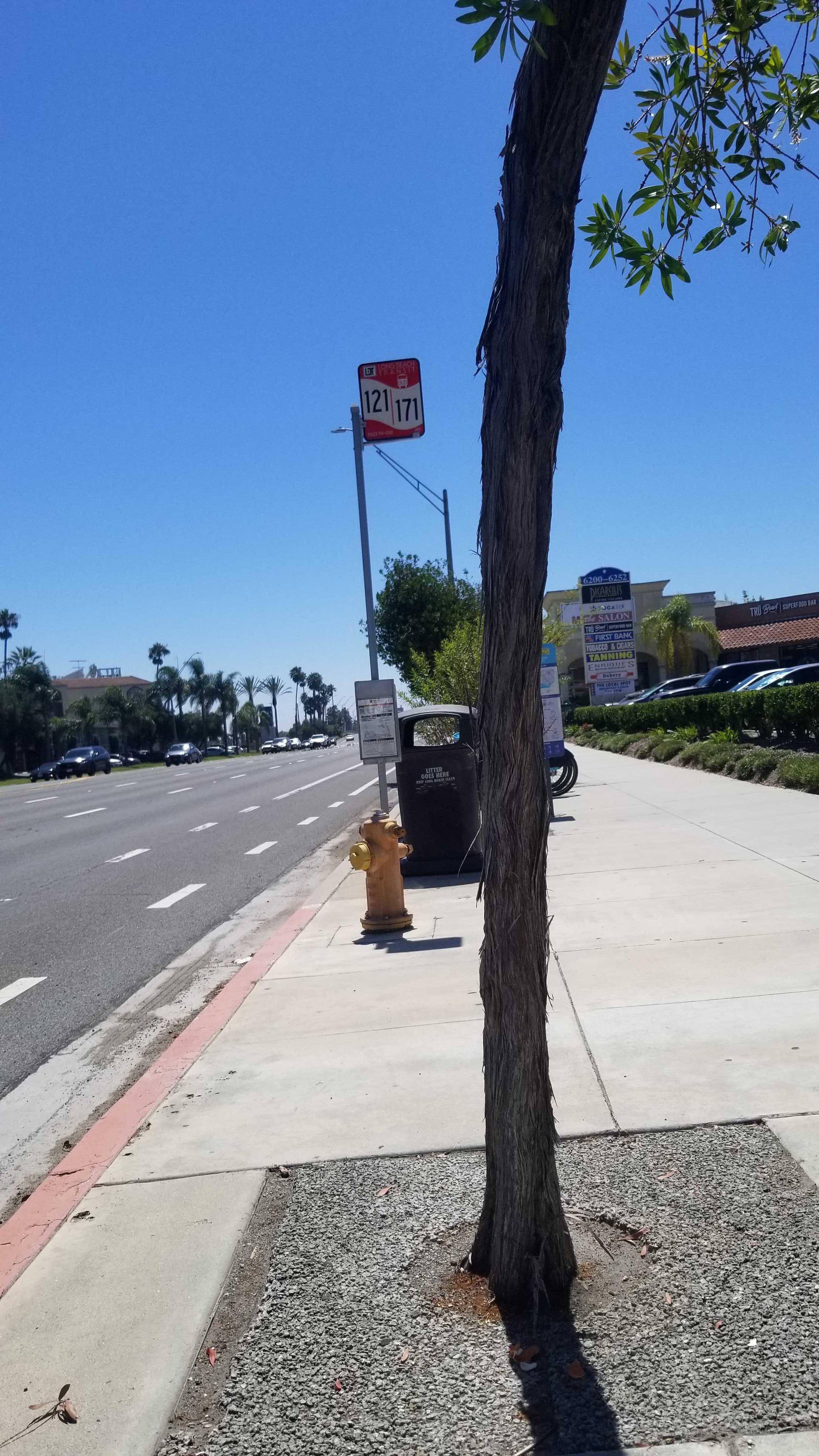 Taken by Anonymous
See PCH & Loynes SW stop, Long Beach, on the map
Public transit to PCH & Loynes SW stop (ID: 1471) in Long Beach
Looking for directions to PCH & Loynes SW in Long Beach, United States?
Download the Moovit App to find the current schedule and step-by-step directions for Bus or Ferry routes that pass through PCH & Loynes SW.
Looking for the nearest stops closest to PCH & Loynes SW ? Check out this list of closest stops to your destination: PCH & Loynes NE; Pacific Coast-Loynes; Loynes & PCH SE; Channel & 7th SW; 7th & Channel SE; Alamitos Bay Landing Berth 3.
Bus: 121, 171, 1, 50, 60, 577, 41, 46, 91, 92, 93.Ferry: AQUALINK.
We make riding on public transit to PCH & Loynes SW easy, which is why over 1.7 billion users, including users in Long Beach trust Moovit as the best app for public transit.
Use the app to navigate to popular places including to the airport, hospital, stadium, grocery store, mall, coffee shop, school, college, and university.
PCH & Loynes SW stop’s code is 1471
The first line to this stop is 121, at 5:18 AM, and the last line is 121 at 10:48 PM.
This stop serves Long Beach Transit’s lines
- PCH & Loynes NE,
- Pacific Coast-Loynes,
- Loynes & PCH SE,
- Channel & 7th SW,
- 7th & Channel SE
Bus stops near PCH & Loynes SW stop
- Alamitos Bay Landing Berth 3
Ferry station near PCH & Loynes SW station
- 1st Street Station,
- La Brea / Adams,
- Union Station,
- Santa Monica / Camden,
- Imperial / Woodruff,
- Telegraph / Passons,
- Hacienda Blvd and Gale Ave S,
- 1st & Shelter E S,
- Jefferson / La Cienega,
- Sylmar Station,
- Telegraph / Slauson,
- Rosecrans / Woodruff,
- Soto / Whittier,
- San Vicente Blvd & Bundy Dr,
- San Fernando at Colorado,
- Soto / Bandini,
- Sunset / Bellagio,
- Saticoy / Mason,
- Pico Blvd/Westwood Blvd,
- Laurel Canyon / Kagel Canyon
Popular public transit stations in Long Beach
Get around Long Beach by public transit!
Traveling around Long Beach has never been so easy. See step by step directions as you travel to any attraction, street or major public transit station. View bus and train schedules, arrival times, service alerts and detailed routes on a map, so you know exactly how to get to anywhere in Long Beach.
When traveling to any destination around Long Beach use Moovit's Live Directions with Get Off Notifications to know exactly where and how far to walk, how long to wait for your line, and how many stops are left. Moovit will alert you when it's time to get off — no need to constantly re-check whether yours is the next stop.
Wondering how to use public transit in Long Beach or how to pay for public transit in Long Beach? Moovit public transit app can help you navigate your way with public transit easily, and at minimum cost. It includes public transit fees, ticket prices, and costs. Looking for a map of Long Beach public transit lines? Moovit public transit app shows all public transit maps in Long Beach with all Bus, Train, Subway, Ferry and Funicular routes and stops on an interactive map.
Los Angeles has 5 transit type(s), including: Bus, Train, Subway, Ferry and Funicular, operated by several transit agencies, including Metro, Metro Event Service, Alhambra Community Transit (ACT), Arcadia Transit, Artesia Transit, AVTA, Baldwin Park Transit, Beach Cities Transit, Beaumont Transit, Bell Gardens Town Trolley, Bellflower Bus, Big Blue Bus, Burbank Bus, Calabasas Trolley and Camarillo Area Transit