How to get to PINTURAS ALLER by bus?
Click on the bus route to see step by step directions with maps, line arrival times and updated time schedules.
From Fracc. La Ribera, Aguascalientes
64 minFrom Avenida Guadalupe González, Aguascalientes
56 minFrom Curtidores, Aguascalientes
45 minFrom Imss Clinica 7, Aguascalientes
45 minFrom Secundaria Tecnica, 1, Jose Reyes Martinez, Aguascalientes
34 minFrom Unidad de Medicina Familiar 7 IMSS-UR, Aguascalientes
44 minFrom Residencial Punta Del Cielo, Aguascalientes
98 minFrom Fraccionamiento San Marcos, Aguascalientes
54 minFrom Tianguis De La Insurgentes, Aguascalientes
48 minFrom Tianguis De La Estrella, Aguascalientes
57 min
Bus stops near PINTURAS ALLER in Aguascalientes
Bus lines to PINTURAS ALLER in Aguascalientes
What are the closest stations to PINTURAS ALLER?
The closest stations to PINTURAS ALLER are:
- Benigno Chávez, 610 is 248 meters away, 4 min walk.
- Aguascalientes 18, 518 is 572 meters away, 8 min walk.
Which bus lines stop near PINTURAS ALLER?
These bus lines stop near PINTURAS ALLER: RUTA 04, RUTA 28, RUTA 33.
What’s the nearest bus station to PINTURAS ALLER in Aguascalientes?
The nearest bus station to PINTURAS ALLER in Aguascalientes is Benigno Chávez, 610. It’s a 4 min walk away.
What time is the first bus to PINTURAS ALLER in Aguascalientes?
The RUTA 04 is the first bus that goes to PINTURAS ALLER in Aguascalientes. It stops nearby at 5:56 AM.
What time is the last bus to PINTURAS ALLER in Aguascalientes?
The RUTA 33 is the last bus that goes to PINTURAS ALLER in Aguascalientes. It stops nearby at 10:18 PM.
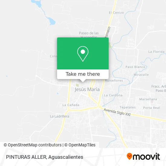
See PINTURAS ALLER, Aguascalientes, on the map
Public Transit to PINTURAS ALLER in Aguascalientes
Wondering how to get to PINTURAS ALLER in Aguascalientes? Moovit helps you find the best way to get to PINTURAS ALLER with step-by-step directions from the nearest public transit station.
Moovit provides free maps and live directions to help you navigate through your city. View schedules, routes, timetables, and find out how long does it take to get to PINTURAS ALLER in real time.
Looking for the nearest stop or station to PINTURAS ALLER? Check out this list of stops closest to your destination: Benigno Chávez; Aguascalientes 18.
Bus: RUTA 04, RUTA 28, RUTA 33, RUTA 06, RUTA 11.
Want to see if there’s another route that gets you there at an earlier time? Moovit helps you find alternative routes or times. Get directions from and directions to PINTURAS ALLER easily from the Moovit App or Website.
We make riding to PINTURAS ALLER easy, which is why over 1.5 million users, including users in Aguascalientes, trust Moovit as the best app for public transit. You don’t need to download an individual bus app or train app, Moovit is your all-in-one transit app that helps you find the best bus time or train time available.
For information on prices of bus, costs and ride fares to PINTURAS ALLER, please check the Moovit app.
Use the app to navigate to popular places including to the airport, hospital, stadium, grocery store, mall, coffee shop, school, college, and university.
PINTURAS ALLER Address: PINTURAS ALLER, Calle Benigno Chávez 504, La Escalera, 20922 Jesús María, Aguascalientes street in Aguascalientes
- Dulcería El Pollito,
- José de la Cruz Saucedo,
- Salón Jardín Victoria,
- Fraccionamiento Las Palmas,
- Productos de Limpieza La Escobita,
- Vinos y Licores El Terre,
- Quinta Los Arcos,
- Vidriera Roman,
- Loncheria Antojitos Estelar,
- Centro deportivo Jesus Maria,
- Plasticos Loza de Barro,
- carnicería Los Compadres,
- Cielos Abiertos Oficial,
- Tienda Bazar,
- Papeleria Scool,
- Centro Mistico Florecita,
- Templo del Señor del Perdón,
- Tienda de Abarrotes-Calle Calvario,
- Abarrotes La Divina Providencia,
- Centros Crecer Jesus Maria
Places Near PINTURAS ALLER (Aguascalientes)
- Centro Comercial Altaria, Aguascalientes,
- clinica 3 uaa, Aguascalientes,
- Ciudad industrial, Aguascalientes,
- Jesús María, Aguascalientes,
- Central De Autobuses, Aguascalientes,
- La Isla San Marcos, Aguascalientes,
- Agropecuario, Aguascalientes,
- Centro, Aguascalientes,
- Parque Las Tres Centurias, Aguascalientes,
- Hospital Imss No. 3, Aguascalientes,
- Isla San Marcos, Aguascalientes,
- Terminal De Combis, Aguascalientes,
- Imss Clinica 1, Aguascalientes,
- Blvd. Luis Donaldo Colosio, Aguascalientes,
- Villas de Nuestra Señora de la Asunción, Aguascalientes,
- ESPACIOS, Aguascalientes,
- Aeropuerto de Aguascalientes S.A. de C.V., Aguascalientes,
- Nuevo Hospital Hidalgo, Aguascalientes,
- Universidad Autónoma de Aguascalientes, Aguascalientes,
- Villasuncion, Aguascalientes
How to get to popular places in Aguascalientes with public transit
Get around Aguascalientes by public transit!
Traveling around Aguascalientes has never been so easy. See step by step directions as you travel to any attraction, street or major public transit station. View bus and train schedules, arrival times, service alerts and detailed routes on a map, so you know exactly how to get to anywhere in Aguascalientes.
When traveling to any destination around Aguascalientes use Moovit's Live Directions with Get Off Notifications to know exactly where and how far to walk, how long to wait for your line, and how many stops are left. Moovit will alert you when it's time to get off — no need to constantly re-check whether yours is the next stop.
Wondering how to use public transit in Aguascalientes or how to pay for public transit in Aguascalientes? Moovit public transit app can help you navigate your way with public transit easily, and at minimum cost. It includes public transit fees, ticket prices, and costs. Looking for a map of Aguascalientes public transit lines? Moovit public transit app shows all public transit maps in Aguascalientes with all bus routes and stops on an interactive map.
Aguascalientes has 1 transit type(s), including: bus, operated by several transit agencies, including Coordinación General de Movilidad