How to get to P.H. Contractor by bus?
Click on the bus route to see step by step directions with maps, line arrival times and updated time schedules.
From I-695 @ Exit 27 (Dulaney Valley Road/MD 146), Baltimore County
79 minFrom I-695 Exit 29 (Loch Raven Blvd (MD 542)/Cromwell Bridge Rd), Baltimore County
72 minFrom I-695 @ Exit 26 (York Rd/MD 45), Baltimore County
75 minFrom Harford Road, Baltimore
65 minFrom Towson Town Center, Baltimore County
67 minFrom Giant Food Stores, Baltimore
68 minFrom Good Samaritan Hospital, Baltimore
69 minFrom Johns Hopkins Bayview Medical Center, Baltimore
83 minFrom Towson, MD, Baltimore County
83 minFrom Loyola University Maryland, Baltimore
70 min
Bus stop near P.H. Contractor in Baltimore County
- Belair Rd & Link Ave Nb, 14 min walk,VIEW
Bus lines to P.H. Contractor in Baltimore County
- 115, Downtown,VIEW
What are the closest stations to P.H. Contractor?
The closest stations to P.H. Contractor are:
- Belair Rd & Link Ave Nb is 1134 yards away, 14 min walk.
Which bus lines stop near P.H. Contractor?
These bus lines stop near P.H. Contractor: 33, 54.
What’s the nearest bus station to P.H. Contractor in Baltimore County?
The nearest bus station to P.H. Contractor in Baltimore County is Belair Rd & Link Ave Nb. It’s a 14 min walk away.
What time is the first bus to P.H. Contractor in Baltimore County?
The 115 is the first bus that goes to P.H. Contractor in Baltimore County. It stops nearby at 5:47 AM.
What time is the last bus to P.H. Contractor in Baltimore County?
The 115 is the last bus that goes to P.H. Contractor in Baltimore County. It stops nearby at 6:41 PM.
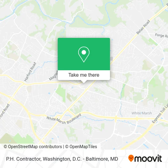
See P.H. Contractor, Baltimore County, on the map
Public Transit to P.H. Contractor in Baltimore County
Wondering how to get to P.H. Contractor in Baltimore County? Moovit helps you find the best way to get to P.H. Contractor with step-by-step directions from the nearest public transit station.
Moovit provides free maps and live directions to help you navigate through your city. View schedules, routes, timetables, and find out how long does it take to get to P.H. Contractor in real time.
Looking for the nearest stop or station to P.H. Contractor? Check out this list of stops closest to your destination: Belair Rd & Link Ave Nb.
Bus: 33, 54, 115.
Want to see if there’s another route that gets you there at an earlier time? Moovit helps you find alternative routes or times. Get directions from and directions to P.H. Contractor easily from the Moovit App or Website.
We make riding to P.H. Contractor easy, which is why over 1.5 million users, including users in Baltimore County, trust Moovit as the best app for public transit. You don’t need to download an individual bus app or train app, Moovit is your all-in-one transit app that helps you find the best bus time or train time available.
For information on prices of bus, costs and ride fares to P.H. Contractor, please check the Moovit app.
Use the app to navigate to popular places including to the airport, hospital, stadium, grocery store, mall, coffee shop, school, college, and university.
P.H. Contractor Address: 8718 Blairwood Rd Nottingham, MD 21236 street in Baltimore County
- Renew Nottingham,
- Liquor Wheel,
- Maryland Local Connect,
- Tony Migliaccio Team of Long and Foster,
- Nottingham,
- Post Office,
- Countrywide Home Loans,
- Doerfer Insurance Services, Inc.,
- Farm Creek Insurance,
- Perry Hall, Maryland,
- Golden Massage Spa,
- Clarabelles Cupcakery,
- Pappas Seafood Company,
- bp,
- Lidl,
- A2Z Engraving,
- Rivas Medical Weight Loss,
- Home Improvements,
- Bricktop Creative,
- Dr. Elaine Lim, MD
Places Near P.H. Contractor (Baltimore County)
- Pennsylvania Ave NW (3rd st and pennsylvania), Washington,
- Georgetown, Washington,
- PG Mall, Prince George's County,
- The Anthem, Washington,
- National Museum of African American History and Culture, Washington,
- Basilica of the National Shrine, Washington,
- Washington DC VA Medical Center, Washington,
- Washington National Cathedral, Washington,
- Sibley Memorial Hospital, Washington,
- Capital One Arena, Washington,
- Westfield Montgomery Mall, Montgomery County,
- National Zoo, Washington,
- Rock Creek Tennis Center, Washington,
- Amazon Hq2, Arlington County,
- National Mall, Washington,
- Warner Theatre, Washington,
- Camden Yards, Baltimore,
- Museum Of The Bible, Washington,
- Marriott Marquis Washington, DC, Washington,
- M&T Bank Stadium, Baltimore
How to get to popular places in Washington, D.C. - Baltimore, MD with public transit
Get around Baltimore County by public transit!
Traveling around Baltimore County has never been so easy. See step by step directions as you travel to any attraction, street or major public transit station. View bus and train schedules, arrival times, service alerts and detailed routes on a map, so you know exactly how to get to anywhere in Baltimore County.
When traveling to any destination around Baltimore County use Moovit's Live Directions with Get Off Notifications to know exactly where and how far to walk, how long to wait for your line, and how many stops are left. Moovit will alert you when it's time to get off — no need to constantly re-check whether yours is the next stop.
Wondering how to use public transit in Baltimore County or how to pay for public transit in Baltimore County? Moovit public transit app can help you navigate your way with public transit easily, and at minimum cost. It includes public transit fees, ticket prices, and costs. Looking for a map of Baltimore County public transit lines? Moovit public transit app shows all public transit maps in Baltimore County with all Bus, Train, Metro, Light Rail and Ferry routes and stops on an interactive map.
Washington, D.C. - Baltimore, MD has 5 transit type(s), including: Bus, Train, Metro, Light Rail and Ferry, operated by several transit agencies, including WMATA, Montgomery County Ride On, Fairfax Connector, TheBus, PRTC, DASH - Alexandria, Arlington Transit (ART), RTA of Central Maryland, MDOT MTA, MDOT MTA Light RailLink, MDOT MTA Commuter Bus, MDOT MTA Local Bus, FXBGO!, Virginia Railway Express (VRE) and MARC