Ippolito Nievo Square stop - Sunday schedule
| Line | Direction | Time |
|---|---|---|
| N8 | Dei Capasso | 3:02 AM |
| N8 | Dei Capasso | 3:02 AM |
| 8BUS | Gianicolense/Casaletto | 3:10 AM |
| N8 | Dei Capasso | 3:24 AM |
| N8 | Dei Capasso | 3:24 AM |
| 8BUS | Gianicolense/Casaletto | 3:36 AM |
| N8 | Dei Capasso | 3:46 AM |
| N8 | Dei Capasso | 3:46 AM |
| N8 | Dei Capasso | 4:08 AM |
| N8 | Dei Capasso | 4:08 AM |
| N8 | Dei Capasso | 4:29 AM |
| N8 | Dei Capasso | 4:29 AM |
| N8 | Dei Capasso | 4:53 AM |
| N8 | Dei Capasso | 4:53 AM |
| N8 | Dei Capasso | 5:17 AM |
| N8 | Dei Capasso | 5:17 AM |
| H | Dei Capasso | 6:19 AM |
| H | Dei Capasso | 6:42 AM |
| H | Dei Capasso | 7:04 AM |
| H | Dei Capasso | 7:23 AM |
| H | Dei Capasso | 7:39 AM |
| H | Dei Capasso | 7:56 AM |
| H | Dei Capasso | 8:12 AM |
| H | Dei Capasso | 8:32 AM |
| H | Dei Capasso | 8:48 AM |
Directions to Ippolito Nievo Square stop (Roma) with public transit
The following transit lines have routes that pass near Ippolito Nievo Square
 Bus: 8BUS, H, 3, N8, N3S.
- Train: FC3, FL1, FL3.
- Metro: B.
- Light Rail: 3.
How to get to Ippolito Nievo Square stop by bus?
Click on the bus route to see step by step directions with maps, line arrival times and updated time schedules.
How to get to Ippolito Nievo Square stop by train?
Click on the train route to see step by step directions with maps, line arrival times and updated time schedules.
How to get to Ippolito Nievo Square stop by metro?
Click on the metro route to see step by step directions with maps, line arrival times and updated time schedules.
Bus stops near Ippolito Nievo Square stop in Roma
- Ippolito Nievo, 2 min walk,
- Ippolito Nievo Square, 2 min walk,
- Trastevere/Ministry of Public Education, 4 min walk,
- Dandolo, 6 min walk,
- Lungotevere Testaccio/Franklin, 16 min walk,
Train stations near Ippolito Nievo Square station in Roma
- Quattro Venti, 15 min walk,
Bus lines to Ippolito Nievo Square stop in Roma
- 3, Valle Giulia,
- 8BUS, Gianicolense/Casaletto,
- H, Dei Capasso,
- N8, Termini (Metro A-Metro B-Railway),
- N3S, Ostiense Square-Pyramid (Metro-Rail),
- 115, Paola,
- 44, Montalcini,
- 75, Independence,
- 170, Termini (Metro A-Metro B-Railway),
- 781, Piazza Venezia,
What are the closest stations to Ippolito Nievo Square?
The closest stations to Ippolito Nievo Square are:
- Ippolito Nievo stop is 101 meters away, 2 min walk.
- Ippolito Nievo Square stop is 145 meters away, 2 min walk.
- Trastevere/Ministry of Public Education stop is 254 meters away, 4 min walk.
- Dandolo stop is 426 meters away, 6 min walk.
- Quattro Venti station is 1148 meters away, 15 min walk.
- Lungotevere Testaccio/Franklin stop is 1242 meters away, 16 min walk.
Which bus lines stop near Ippolito Nievo Square?
These bus lines stop near Ippolito Nievo Square: 8BUS, H.
Which train lines stop near Ippolito Nievo Square?
These train lines stop near Ippolito Nievo Square: FC3, FL1.
Which metro line stops near Ippolito Nievo Square?
B (Laurentina)
Which light rail line stops near Ippolito Nievo Square?
3 (Trastevere Station (Rail))
What’s the nearest train station to Ippolito Nievo Square in Roma?
The nearest train station to Ippolito Nievo Square in Roma is Quattro Venti. It’s a 15 min walk away.
What’s the nearest bus station to Ippolito Nievo Square in Roma?
The nearest bus stations to Ippolito Nievo Square in Roma are Ippolito Nievo and Ippolito Nievo Square. The closest one is a 2 min walk away.
What time is the first light rail to Ippolito Nievo Square in Roma?
The 3 is the first light rail that goes to Ippolito Nievo Square in Roma. It stops nearby at 5:35 AM.
What time is the last light rail to Ippolito Nievo Square in Roma?
The 3 is the last light rail that goes to Ippolito Nievo Square in Roma. It stops nearby at 1:43 AM.
What time is the first train to Ippolito Nievo Square in Roma?
The FL3 is the first train that goes to Ippolito Nievo Square in Roma. It stops nearby at 5:37 AM.
What time is the last train to Ippolito Nievo Square in Roma?
The FL3 is the last train that goes to Ippolito Nievo Square in Roma. It stops nearby at 11:20 PM.
What time is the first bus to Ippolito Nievo Square in Roma?
The N8 is the first bus that goes to Ippolito Nievo Square in Roma. It stops nearby at 3:01 AM.
What time is the last bus to Ippolito Nievo Square in Roma?
The N3S is the last bus that goes to Ippolito Nievo Square in Roma. It stops nearby at 3:30 AM.
Ippolito Nievo Square station
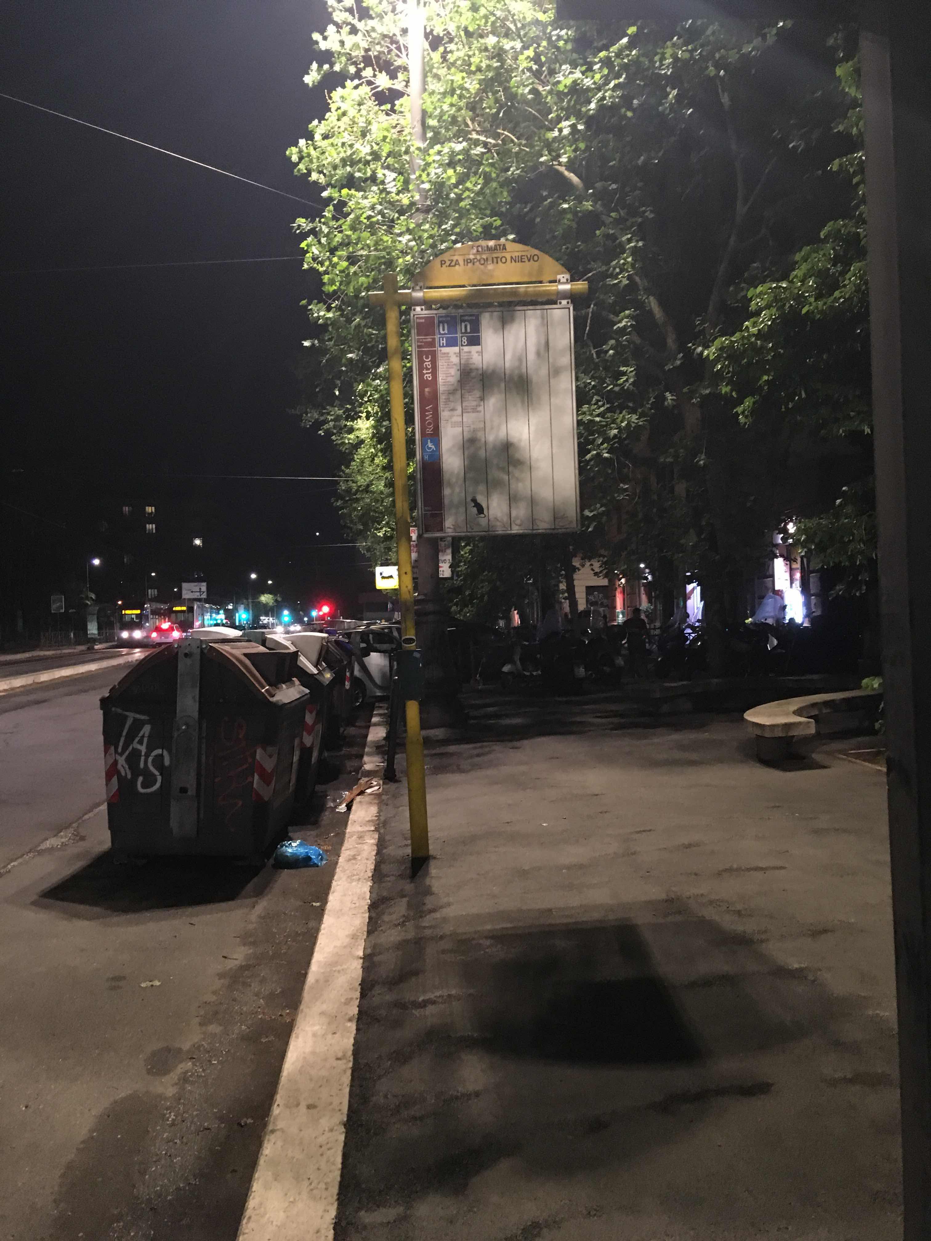 Taken by Andy F.
See Ippolito Nievo Square stop, Roma, on the map
Public transit to Ippolito Nievo Square stop (ID: 79761) in Roma
Looking for directions to Ippolito Nievo Square in Roma, Italy?
Download the Moovit App to find the current schedule and step-by-step directions for Bus, Metro, Train or Light Rail routes that pass through Ippolito Nievo Square.
Looking for the nearest stops closest to Ippolito Nievo Square ? Check out this list of closest stops to your destination: Ippolito Nievo; Ippolito Nievo Square; Trastevere/Ministry of Public Education; Dandolo; Quattro Venti; Lungotevere Testaccio/Franklin.
Bus: 8BUS, H, 3, N8, N3S, 115, 44, 75, 170, 781.Train: FC3, FL1, FL3.Metro: B.Light Rail: 3.
We make riding on public transit to Ippolito Nievo Square easy, which is why over 1.7 billion users, including users in Roma trust Moovit as the best app for public transit.
Use the app to navigate to popular places including to the airport, hospital, stadium, grocery store, mall, coffee shop, school, college, and university.
Ippolito Nievo Square stop’s code is 79761
The first line to this stop is N8, at 3:02 AM, and the last line is N8 at 2:43 AM.
Piazza Ippolito Nievo, Roma, Italy
This stop serves ATAC’s lines
- Ippolito Nievo,
- Ippolito Nievo Square,
- Trastevere/Ministry of Public Education,
- Dandolo,
- Lungotevere Testaccio/Franklin
Bus stops near Ippolito Nievo Square stop
- Quattro Venti
Train station near Ippolito Nievo Square station
- Aurelia/Madonna Del Riposo,
- Borghetto | Railway Station,
- Colleferro | Via Casilina (Depot),
- North Beach,
- Prati Fiscali/Val D'Ala,
- Ladispoli, Florence Street 26,
- Casal Selce/Boccea,
- Anzio - 5 Miles Cipriani Road,
- Monte Delle Piche,
- Lepanto (Metro A),
- Prenestina/Ponzoni,
- Agnelli/Morelli,
- Volturno/Cernaia,
- Alatri Hospital,
- Tuscolana/Amelia,
- Francesco Baracca Street,
- Colombo/Laurentina,
- De Filippo/Pica,
- Tiburtina/Marrucini,
- Subiaco Piazza Falcone
Popular public transit stations in Roma
Get around Roma by public transit!
Traveling around Roma has never been so easy. See step by step directions as you travel to any attraction, street or major public transit station. View bus and train schedules, arrival times, service alerts and detailed routes on a map, so you know exactly how to get to anywhere in Roma.
When traveling to any destination around Roma use Moovit's Live Directions with Get Off Notifications to know exactly where and how far to walk, how long to wait for your line, and how many stops are left. Moovit will alert you when it's time to get off — no need to constantly re-check whether yours is the next stop.
Wondering how to use public transit in Roma or how to pay for public transit in Roma? Moovit public transit app can help you navigate your way with public transit easily, and at minimum cost. It includes public transit fees, ticket prices, and costs. Looking for a map of Roma public transit lines? Moovit public transit app shows all public transit maps in Roma with all Bus, Train, Metro, Light Rail, Ferry, Funicular and Gondola routes and stops on an interactive map.
Rome and Lazio has 7 transit type(s), including: Bus, Train, Metro, Light Rail, Ferry, Funicular and Gondola, operated by several transit agencies, including ATAC, Cotral, Trenitalia, Troiani Transportation Services, BIS, ATR Mobility, Tuscia, Shuttle, Seatour, Troiani Bus Lines, CSC Mobility, Terravision, ATRAL, Tambus and Sitbus