How to get to Padaria e Mercearia Alan by bus?
Click on the bus route to see step by step directions with maps, line arrival times and updated time schedules.
From Xerém, Duque De Caxias
94 minFrom Monte do Azeite, Duque De Caxias
83 minFrom Taquara, Duque De Caxias
120 minFrom Petrópolis, Petrópolis
44 minFrom Chácaras Rio-Petrópolis, Duque De Caxias
72 minFrom Outlet Premium Caxias, Duque De Caxias
88 minFrom Jardim Anhangá, Duque De Caxias
75 minFrom Outlet Premium Rio de Janeiro, Duque De Caxias
66 minFrom Hospital Estadual Adão Pereira Nunes, Duque De Caxias
79 minFrom Santa Cruz Da Serra, Duque De Caxias
82 min
Bus stops near Padaria e Mercearia Alan in Petrópolis
Bus lines to Padaria e Mercearia Alan in Petrópolis
What are the closest stations to Padaria e Mercearia Alan?
The closest stations to Padaria e Mercearia Alan are:
- Estrada Do Imperador, 2-362 is 96 meters away, 3 min walk.
- Rua Antônio Da Silva Ligeiro, 812-1156 is 155 meters away, 3 min walk.
- Rua Cacilda Becker, 2-850 is 584 meters away, 9 min walk.
Which bus lines stop near Padaria e Mercearia Alan?
These bus lines stop near Padaria e Mercearia Alan: 172, 175, 178, 650, 662.
What’s the nearest bus station to Padaria e Mercearia Alan in Petrópolis?
The nearest bus stations to Padaria e Mercearia Alan in Petrópolis are Estrada Do Imperador, 2-362 and Rua Antônio Da Silva Ligeiro, 812-1156. The closest one is a 3 min walk away.
What time is the first bus to Padaria e Mercearia Alan in Petrópolis?
The 177 is the first bus that goes to Padaria e Mercearia Alan in Petrópolis. It stops nearby at 3:00 AM.
What time is the last bus to Padaria e Mercearia Alan in Petrópolis?
The 177 is the last bus that goes to Padaria e Mercearia Alan in Petrópolis. It stops nearby at 3:00 AM.
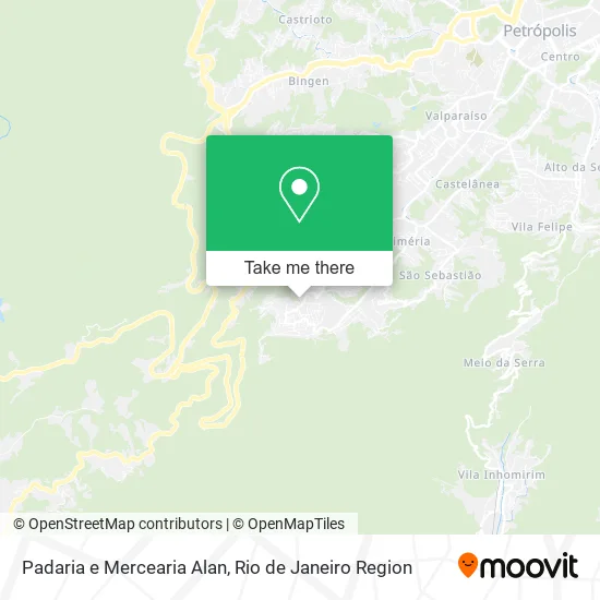
See Padaria e Mercearia Alan, Petrópolis, on the map
Public Transit to Padaria e Mercearia Alan in Petrópolis
Wondering how to get to Padaria e Mercearia Alan in Petrópolis? Moovit helps you find the best way to get to Padaria e Mercearia Alan with step-by-step directions from the nearest public transit station.
Moovit provides free maps and live directions to help you navigate through your city. View schedules, routes, timetables, and find out how long does it take to get to Padaria e Mercearia Alan in real time.
Looking for the nearest stop or station to Padaria e Mercearia Alan? Check out this list of stops closest to your destination: Estrada Do Imperador; Rua Antônio Da Silva Ligeiro; Rua Cacilda Becker.
Bus: 172, 175, 178, 650, 662, 177, 174, 176.
Want to see if there’s another route that gets you there at an earlier time? Moovit helps you find alternative routes or times. Get directions from and directions to Padaria e Mercearia Alan easily from the Moovit App or Website.
We make riding to Padaria e Mercearia Alan easy, which is why over 1.5 million users, including users in Petrópolis, trust Moovit as the best app for public transit. You don’t need to download an individual bus app or train app, Moovit is your all-in-one transit app that helps you find the best bus time or train time available.
For information on prices of bus, costs and ride fares to Padaria e Mercearia Alan, please check the Moovit app.
Use the app to navigate to popular places including to the airport, hospital, stadium, grocery store, mall, coffee shop, school, college, and university.
Padaria e Mercearia Alan Address: Rua Antônio da Silva Ligeiro, 32 Petrópolis Petrópolis-RJ 25645-250 street in Petrópolis
- Ministerio Alfa e Ômega,
- Rua Antônio da Silva Ligeiro / Rua Onofre dos Santos,
- Rua do Imperador,
- Costa Elevadores & Acessibilidade,
- Vidraçaria e Serralheria S V,
- P.S. Arquitetura,
- 702,
- Bela Vista,
- Rua Antônio da Silva Ligeiro,
- Salão do Flavin,
- Condominio Sitio do Repouso,
- Arena Independencia,
- Rua Vista Alegre, 132,
- Ascb Fitness,
- Mercadinho e Padaria Lacerda Ltda,
- Matheus du Corte,
- Sempre Bella,
- Baracho Disk Pizza,
- Rmcalcados,
- Petromaster Transportes
Places Near Padaria e Mercearia Alan (Petrópolis)
- Avenida Venezuela 134, Saúde,
- Praia do Arpoador, Ipanema,
- Hospital Pedro Ernesto, Vila Isabel,
- Hospital Federal Do Andaraí, Andaraí,
- Shopping Nova América, Del Castilho,
- Rio De Janeiro,
- Norte Shopping, Cachambi,
- Shopping Downtown, Barra Da Tijuca,
- Feira Livre da Gloria, Glória,
- Museu Do Amanhã, Centro,
- Shopping Rio Sul, Botafogo,
- Feirão De Malhas, Duque De Caxias,
- Niterói, Niterói,
- Avenida Rio Branco, Centro,
- Hospital Federal Cardoso Fontes, Jacarepaguá,
- Hospital Municipal Ronaldo Gazolla, Acari,
- Shopping RioSul, Botafogo,
- Rua Ulysses Guimarães 16, Cidade Nova,
- Rua Licínio Cardoso, São Francisco Xavier,
- Rodoviária Novo Rio (Rodoviária do Rio de Janeiro), Santo Cristo
How to get to popular places in Rio de Janeiro Region with public transit
Get around Petrópolis by public transit!
Traveling around Petrópolis has never been so easy. See step by step directions as you travel to any attraction, street or major public transit station. View bus and train schedules, arrival times, service alerts and detailed routes on a map, so you know exactly how to get to anywhere in Petrópolis.
When traveling to any destination around Petrópolis use Moovit's Live Directions with Get Off Notifications to know exactly where and how far to walk, how long to wait for your line, and how many stops are left. Moovit will alert you when it's time to get off — no need to constantly re-check whether yours is the next stop.
Wondering how to use public transit in Petrópolis or how to pay for public transit in Petrópolis? Moovit public transit app can help you navigate your way with public transit easily, and at minimum cost. It includes public transit fees, ticket prices, and costs. Looking for a map of Petrópolis public transit lines? Moovit public transit app shows all public transit maps in Petrópolis with all Bus, Train, Metro, Light Rail, Ferry, Cable Car, Gondola and Funicular routes and stops on an interactive map.
Rio de Janeiro Region has 8 transit type(s), including: Bus, Train, Metro, Light Rail, Ferry, Cable Car, Gondola and Funicular, operated by several transit agencies, including TrensRJ, Metrô Rio, VLT Carioca, Barcas Rio, BRT MOBI-Rio, Auto Viação Alpha, Auto Viação Tijuca, Gire Transportes, Transurb, Viação Nossa Senhora das Graças, Consórcio INTERSUL, Braso Lisboa (Municipal), Caprichosa Auto Ônibus, Auto Viação Três Amigos and Rodoviária Âncora Matias