Directions to Pakrite Express | Custom Crating & Shipping (Oceanside) with public transportation
The following transit lines have routes that pass near Pakrite Express | Custom Crating & Shipping
 Bus: N15.
- Train: LONG BEACH BRANCH, BABYLON BRANCH.
How to get to Pakrite Express | Custom Crating & Shipping by bus?
Click on the bus route to see step by step directions with maps, line arrival times and updated time schedules.
From Social Security Office, Queens
84 minFrom JFK International Airport Terminal 4, Queens
136 minFrom Uniondale, NY, Uniondale
89 minFrom Walmart, Queens
76 minFrom DMV, Queens
90 minFrom Far Rockaway, NY, Queens
84 minFrom Green Acres Mall, South Valley Stream
82 minFrom Elmont, NY, Elmont
113 minFrom Springfield Gardens, NY, Queens
80 min
How to get to Pakrite Express | Custom Crating & Shipping by train?
Click on the train route to see step by step directions with maps, line arrival times and updated time schedules.
Train stations near Pakrite Express | Custom Crating & Shipping in Oceanside
What are the closest stations to Pakrite Express | Custom Crating & Shipping?
The closest stations to Pakrite Express | Custom Crating & Shipping are:
- Rockville Centre is 708 yards away, 9 min walk.
- Oceanside is 1346 yards away, 16 min walk.
Which bus line stops near Pakrite Express | Custom Crating & Shipping?
N15 (Roosevelt Field)
Which train line stops near Pakrite Express | Custom Crating & Shipping?
LONG BEACH BRANCH (Long Beach)
What’s the nearest train station to Pakrite Express | Custom Crating & Shipping in Oceanside?
The nearest train station to Pakrite Express | Custom Crating & Shipping in Oceanside is Rockville Centre. It’s a 9 min walk away.
What time is the first train to Pakrite Express | Custom Crating & Shipping in Oceanside?
The BABYLON BRANCH is the first train that goes to Pakrite Express | Custom Crating & Shipping in Oceanside. It stops nearby at 3:23 AM.
What time is the last train to Pakrite Express | Custom Crating & Shipping in Oceanside?
The BABYLON BRANCH is the last train that goes to Pakrite Express | Custom Crating & Shipping in Oceanside. It stops nearby at 3:23 AM.
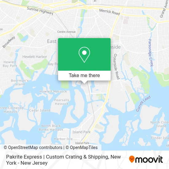
See Pakrite Express | Custom Crating & Shipping, Oceanside, on the map
Public Transit to Pakrite Express | Custom Crating & Shipping in Oceanside
Wondering how to get to Pakrite Express | Custom Crating & Shipping in Oceanside? Moovit helps you find the best way to get to Pakrite Express | Custom Crating & Shipping with step-by-step directions from the nearest public transit station.
Moovit provides free maps and live directions to help you navigate through your city. View schedules, routes, timetables, and find out how long does it take to get to Pakrite Express | Custom Crating & Shipping in real time.
Looking for the nearest stop or station to Pakrite Express | Custom Crating & Shipping? Check out this list of stops closest to your destination: Rockville Centre; Oceanside.
Bus: N15.Train: LONG BEACH BRANCH, BABYLON BRANCH.
Want to see if there’s another route that gets you there at an earlier time? Moovit helps you find alternative routes or times. Get directions from and directions to Pakrite Express | Custom Crating & Shipping easily from the Moovit App or Website.
We make riding to Pakrite Express | Custom Crating & Shipping easy, which is why over 1.5 million users, including users in Oceanside, trust Moovit as the best app for public transit. You don’t need to download an individual bus app or train app, Moovit is your all-in-one transit app that helps you find the best bus time or train time available.
For information on prices of bus, train and light rail, costs and ride fares to Pakrite Express | Custom Crating & Shipping, please check the Moovit app.
Use the app to navigate to popular places including to the airport, hospital, stadium, grocery store, mall, coffee shop, school, college, and university.
Pakrite Express | Custom Crating & Shipping Address: 485 Brown Ct street in Oceanside
- Karl Ehmer Smoked Meats,
- South Shore Craft Brewery,
- Pickleball Xpo,
- Smokey Joes Bbq,
- S & M Tire Recycling, Inc,
- Hr Professional Services,
- Summit Trading,
- Oil City Athletics,
- Waste Systems Inc.,
- East Coast Paper,
- Complete Shredding Solutions A Data-Struction Company,
- Data-Struction Inc., Complete Shredding Solutions,
- Long Island Fence Company - Piil Fence,
- European Auto,
- Yp Auto Detail,
- Print Coat Wrap It,
- Social Threads,
- 360 Auto Collision,
- S & M Tire Recycling, Inc.,
- The Art Of Yoga
Places Near Pakrite Express | Custom Crating & Shipping (Oceanside)
- Pier 83, Manhattan,
- SoHo, Manhattan,
- Katz's Deli, Manhattan,
- Chinatown, Manhattan,
- qqqq, Manhattan,
- Queens Center Mall, Queens,
- 911 Memorial, Manhattan,
- 376 Hudson Street, Manhattan,
- Mountainside Hospital, Glen Ridge,
- Hudson Yards, Manhattan,
- San Gennaro Feast, Manhattan,
- 66 John Street, Manhattan,
- Rockefeller Center, Manhattan,
- 3 Stone St, Manhattan,
- 111 Centre New York City Supreme Court, Manhattan,
- Bellevue Hospital, Manhattan,
- 1 Police Plaza, Manhattan,
- Times Square, Manhattan,
- 26 Federal Plaza, Manhattan,
- Wall Street, Manhattan
How to get to popular places in New York - New Jersey with public transit
Get around Oceanside by public transit!
Traveling around Oceanside has never been so easy. See step by step directions as you travel to any attraction, street or major public transit station. View bus and train schedules, arrival times, service alerts and detailed routes on a map, so you know exactly how to get to anywhere in Oceanside.
When traveling to any destination around Oceanside use Moovit's Live Directions with Get Off Notifications to know exactly where and how far to walk, how long to wait for your line, and how many stops are left. Moovit will alert you when it's time to get off — no need to constantly re-check whether yours is the next stop.
Wondering how to use public transit in Oceanside or how to pay for public transit in Oceanside? Moovit public transit app can help you navigate your way with public transit easily, and at minimum cost. It includes public transit fees, ticket prices, and costs. Looking for a map of Oceanside public transit lines? Moovit public transit app shows all public transit maps in Oceanside with all Bus, Train, Subway, Light Rail, Ferry and Cable Car routes and stops on an interactive map.
New York - New Jersey has 6 transit type(s), including: Bus, Train, Subway, Light Rail, Ferry and Cable Car, operated by several transit agencies, including MTA Subway, Metro-North Railroad, LIRR, PATH, MTA New York City Transit - Express routes, MTA Bus, NJ Transit, NYC Ferry, NICE bus, Bee-Line Bus, NJ Transit Rail, Norwalk Transit District, Hartford Line, River Valley Transit and HART