How to get to Paletería by bus?
Click on the bus route to see step by step directions with maps, line arrival times and updated time schedules.
From Villas de la Cantera, Aguascalientes
62 minFrom Maravillas, Jesus Maria, Aguascalientes
41 minFrom Consultorio Mac Norte, Aguascalientes
58 minFrom Walmart, Aguascalientes
50 minFrom Fraccionamiento La Rioja, Aguascalientes
64 minFrom Templo de San Benito Abad, Aguascalientes
61 minFrom Fracc. Versalles 2da. Sección, Aguascalientes
64 minFrom Fraccionamiento Olinda, Aguascalientes
60 minFrom Fracc. San Sebastián, Aguascalientes
45 minFrom Tec De Monterrey Campus Aguascalientes, Aguascalientes
63 min
Bus stops near Paletería in Aguascalientes
Bus lines to Paletería in Aguascalientes
What are the closest stations to Paletería?
The closest stations to Paletería are:
- San Martin, 102 is 513 meters away, 7 min walk.
- Avenida Siglo Xxi, 511 is 655 meters away, 9 min walk.
- Avenida Rodolfo Landeros Gallegos, 631 is 702 meters away, 10 min walk.
Which bus lines stop near Paletería?
These bus lines stop near Paletería: RUTA 16, RUTA 23, RUTA 48, RUTA 50.
What’s the nearest bus station to Paletería in Aguascalientes?
The nearest bus station to Paletería in Aguascalientes is San Martin, 102. It’s a 7 min walk away.
What time is the first bus to Paletería in Aguascalientes?
The RUTA 42 is the first bus that goes to Paletería in Aguascalientes. It stops nearby at 6:00 AM.
What time is the last bus to Paletería in Aguascalientes?
The RUTA 45 is the last bus that goes to Paletería in Aguascalientes. It stops nearby at 10:30 PM.
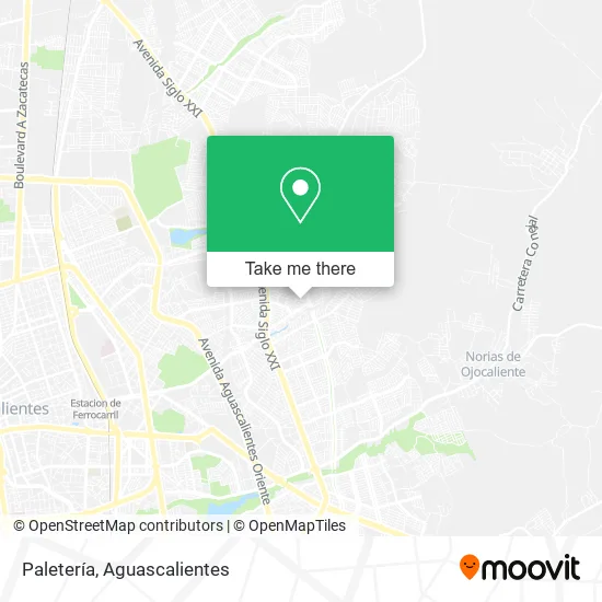
See Paletería, Aguascalientes, on the map
Public Transit to Paletería in Aguascalientes
Wondering how to get to Paletería in Aguascalientes? Moovit helps you find the best way to get to Paletería with step-by-step directions from the nearest public transit station.
Moovit provides free maps and live directions to help you navigate through your city. View schedules, routes, timetables, and find out how long does it take to get to Paletería in real time.
Looking for the nearest stop or station to Paletería? Check out this list of stops closest to your destination: San Martin; Avenida Siglo Xxi; Avenida Rodolfo Landeros Gallegos.
Bus: RUTA 16, RUTA 23, RUTA 48, RUTA 50, RUTA 42, RUTA 45.
Want to see if there’s another route that gets you there at an earlier time? Moovit helps you find alternative routes or times. Get directions from and directions to Paletería easily from the Moovit App or Website.
We make riding to Paletería easy, which is why over 1.5 million users, including users in Aguascalientes, trust Moovit as the best app for public transit. You don’t need to download an individual bus app or train app, Moovit is your all-in-one transit app that helps you find the best bus time or train time available.
For information on prices of bus, costs and ride fares to Paletería, please check the Moovit app.
Use the app to navigate to popular places including to the airport, hospital, stadium, grocery store, mall, coffee shop, school, college, and university.
Paletería Address: Calle Reinas de la Feria 625, Fraccionamiento Municipio Libre, 20199 Aguascalientes, Aguascalientes street in Aguascalientes
- Hamburguesas La Casita,
- Tacos de Colores,
- Venta de Productos de Limpieza,
- Abarrotes Cochis II,
- Cenaduria,
- Servicios Integrales de Enfermería,
- Plaza de Servicios Integrales Loma Bonita,
- Abarrotes Betty Bop,
- Tacos Mayra,
- Presiosa,
- Tacos Taka,
- VENTA DE PINTURA,
- Taller Mecanico,
- Gordita y Quesadillas Cris,
- Distribuidora de Leche Liconsa,
- Tlapalería La Única,
- Artes Marciales Mixtas Aguasteaim Power Kraken,
- Carnicería,
- Venta de Gorditas,
- Visa Ropa Americana
Places Near Paletería (Aguascalientes)
- ESPACIOS, Aguascalientes,
- Centro Comercial Altaria, Aguascalientes,
- Terminal De Combis, Aguascalientes,
- Parque Las Tres Centurias, Aguascalientes,
- Aeropuerto de Aguascalientes S.A. de C.V., Aguascalientes,
- Isla San Marcos, Aguascalientes,
- Agropecuario, Aguascalientes,
- Ciudad industrial, Aguascalientes,
- clinica 3 uaa, Aguascalientes,
- Universidad Autónoma de Aguascalientes, Aguascalientes,
- Villasuncion, Aguascalientes,
- Nuevo Hospital Hidalgo, Aguascalientes,
- Central De Autobuses, Aguascalientes,
- Villas de Nuestra Señora de la Asunción, Aguascalientes,
- La Isla San Marcos, Aguascalientes,
- Centro, Aguascalientes,
- Jesús María, Aguascalientes,
- Imss Clinica 1, Aguascalientes,
- Hospital Imss No. 3, Aguascalientes,
- Blvd. Luis Donaldo Colosio, Aguascalientes
How to get to popular places in Aguascalientes with public transit
Get around Aguascalientes by public transit!
Traveling around Aguascalientes has never been so easy. See step by step directions as you travel to any attraction, street or major public transit station. View bus and train schedules, arrival times, service alerts and detailed routes on a map, so you know exactly how to get to anywhere in Aguascalientes.
When traveling to any destination around Aguascalientes use Moovit's Live Directions with Get Off Notifications to know exactly where and how far to walk, how long to wait for your line, and how many stops are left. Moovit will alert you when it's time to get off — no need to constantly re-check whether yours is the next stop.
Wondering how to use public transit in Aguascalientes or how to pay for public transit in Aguascalientes? Moovit public transit app can help you navigate your way with public transit easily, and at minimum cost. It includes public transit fees, ticket prices, and costs. Looking for a map of Aguascalientes public transit lines? Moovit public transit app shows all public transit maps in Aguascalientes with all bus routes and stops on an interactive map.
Aguascalientes has 1 transit type(s), including: bus, operated by several transit agencies, including Coordinación General de Movilidad