Palo Verde & Carson SW stop - Sunday schedule
| Line | Direction | Time |
|---|---|---|
| 172 | 172 Palo Verde to Downtown Long Beach | 6:52 AM |
| 172 | 172 Palo Verde to Downtown Long Beach | 7:41 AM |
| 172 | 172 Palo Verde to Downtown Long Beach | 8:23 AM |
| 172 | 172 Palo Verde to Downtown Long Beach | 9:08 AM |
| 172 | 172 Palo Verde to Downtown Long Beach | 9:50 AM |
| 172 | 172 Palo Verde to Downtown Long Beach | 10:32 AM |
| 172 | 172 Palo Verde to Downtown Long Beach | 11:16 AM |
| 172 | 172 Palo Verde to Downtown Long Beach | 12:01 PM |
| 172 | 172 Palo Verde to Downtown Long Beach | 12:46 PM |
| 172 | 172 Palo Verde to Downtown Long Beach | 1:31 PM |
| 172 | 172 Palo Verde to Downtown Long Beach | 2:16 PM |
| 172 | 172 Palo Verde to Downtown Long Beach | 3:01 PM |
| 172 | 172 Palo Verde to Downtown Long Beach | 3:46 PM |
| 172 | 172 Palo Verde to Downtown Long Beach | 4:33 PM |
| 172 | 172 Palo Verde to Downtown Long Beach | 5:23 PM |
| 172 | 172 Palo Verde to Downtown Long Beach | 6:10 PM |
| 172 | 172 Palo Verde to Downtown Long Beach | 6:56 PM |
| 172 | 172 Palo Verde to Downtown Long Beach | 7:42 PM |
| 172 | 172 Palo Verde to Downtown Long Beach | 8:44 PM |
Directions to Palo Verde & Carson SW stop (Long Beach) with public transit
The following transit lines have routes that pass near Palo Verde & Carson SW
 Bus: 101, 172, 92, 173.
How to get to Palo Verde & Carson SW stop by bus?
Click on the bus route to see step by step directions with maps, line arrival times and updated time schedules.
Bus stops near Palo Verde & Carson SW stop in Long Beach
- Carson & Palo Verde, 1 min walk,
- Palo Verde & Garetti School E, 5 min walk,
- Woodruff & Carson NE, 12 min walk,
- Los Coyotes & Parkcrest NE, 14 min walk,
Bus lines to Palo Verde & Carson SW stop in Long Beach
- 101, 101 Carson to Hawaiian Gardens,
- 172, 172 Palo Verde to Norwalk Station,
- 92, 92 7th - Woodruff to Downtown Long Beach,
- 173, 173 Studebaker to Norwalk Station,
What are the closest stations to Palo Verde & Carson SW?
The closest stations to Palo Verde & Carson SW are:
- Carson & Palo Verde stop is 70 yards away, 1 min walk.
- Palo Verde & Garetti School E stop is 390 yards away, 5 min walk.
- Woodruff & Carson NE stop is 962 yards away, 12 min walk.
- Los Coyotes & Parkcrest NE stop is 1137 yards away, 14 min walk.
Which bus lines stop near Palo Verde & Carson SW?
These bus lines stop near Palo Verde & Carson SW: 101, 172.
What’s the nearest bus station to Palo Verde & Carson SW in Long Beach?
The nearest bus station to Palo Verde & Carson SW in Long Beach is Carson & Palo Verde. It’s a 1 min walk away.
What time is the first bus to Palo Verde & Carson SW in Long Beach?
The 172 is the first bus that goes to Palo Verde & Carson SW in Long Beach. It stops nearby at 5:10 AM.
What time is the last bus to Palo Verde & Carson SW in Long Beach?
The 101 is the last bus that goes to Palo Verde & Carson SW in Long Beach. It stops nearby at 10:20 PM.
Palo Verde & Carson SW station
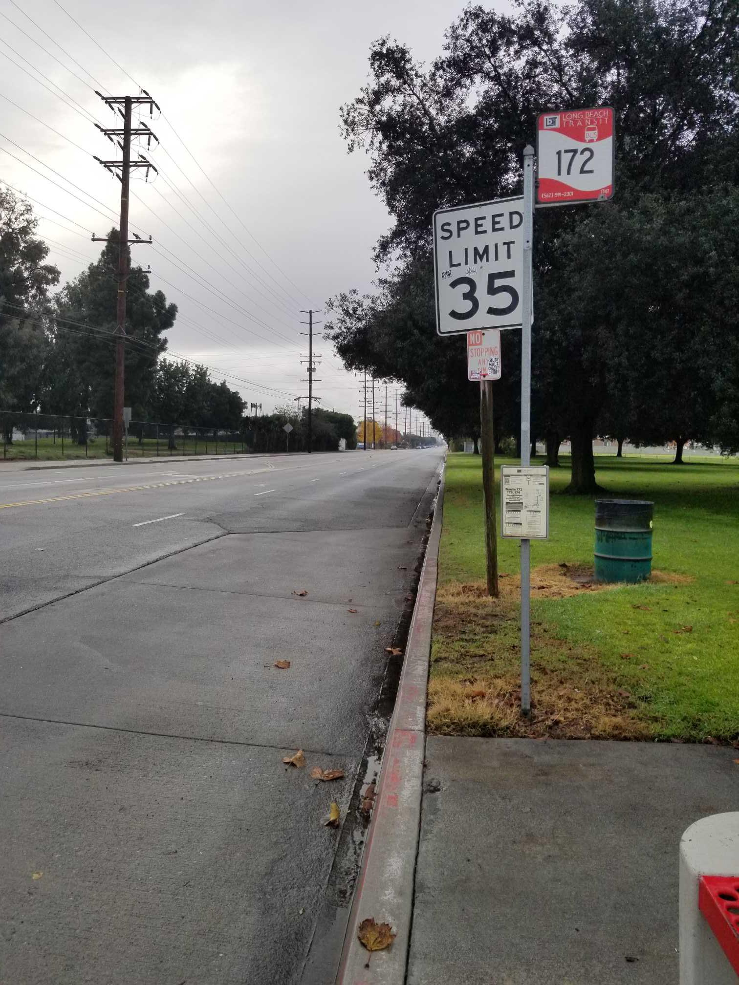 Taken by Anonymous
See Palo Verde & Carson SW stop, Long Beach, on the map
Public transit to Palo Verde & Carson SW stop (ID: 1747) in Long Beach
Looking for directions to Palo Verde & Carson SW in Long Beach, United States?
Download the Moovit App to find the current schedule and step-by-step directions for Bus routes that pass through Palo Verde & Carson SW.
Looking for the nearest stops closest to Palo Verde & Carson SW ? Check out this list of closest stops to your destination: Carson & Palo Verde; Palo Verde & Garetti School E; Woodruff & Carson NE; Los Coyotes & Parkcrest NE.
Bus: 101, 172, 92, 173.
We make riding on public transit to Palo Verde & Carson SW easy, which is why over 1.7 billion users, including users in Long Beach trust Moovit as the best app for public transit.
Use the app to navigate to popular places including to the airport, hospital, stadium, grocery store, mall, coffee shop, school, college, and university.
Palo Verde & Carson SW stop’s code is 1747
The first line to this stop is 172, at 6:52 AM, and the last line is 172 at 8:44 PM.
Palo Verde Avenue, Long Beach, CA, USA
This stop serves Long Beach Transit’s lines
- Carson & Palo Verde,
- Palo Verde & Garetti School E,
- Woodruff & Carson NE,
- Los Coyotes & Parkcrest NE
Bus stops near Palo Verde & Carson SW stop
- Leffingwell Rd & Telegraph Rd,
- Florence / Pacific,
- Ventura / Vineland,
- Hoover / Adams,
- Van Nuys Blvd & Valerio St Northbound,
- Alameda / Arcadia,
- Badillo St and Citrus Ave,
- Pico / Vermont,
- PCH & Redondo SE,
- Imperial / Yukon,
- 101 Hwy & Reseda Blvd (Westbound),
- Central / Slauson,
- Sunset / Palisades,
- LAX Terminal 4 Upper Level Drop Off,
- Firestone / Garfield,
- Ventura / Topanga Canyon,
- Cherry & Willow SW,
- 5th / Hill,
- Santa Clara and Oak WB (Downtown Ventura),
- Huntington Dr and Baldwin Ave W
Popular public transit stations in Long Beach
Get around Long Beach by public transit!
Traveling around Long Beach has never been so easy. See step by step directions as you travel to any attraction, street or major public transit station. View bus and train schedules, arrival times, service alerts and detailed routes on a map, so you know exactly how to get to anywhere in Long Beach.
When traveling to any destination around Long Beach use Moovit's Live Directions with Get Off Notifications to know exactly where and how far to walk, how long to wait for your line, and how many stops are left. Moovit will alert you when it's time to get off — no need to constantly re-check whether yours is the next stop.
Wondering how to use public transit in Long Beach or how to pay for public transit in Long Beach? Moovit public transit app can help you navigate your way with public transit easily, and at minimum cost. It includes public transit fees, ticket prices, and costs. Looking for a map of Long Beach public transit lines? Moovit public transit app shows all public transit maps in Long Beach with all Bus, Train, Subway, Ferry and Funicular routes and stops on an interactive map.
Los Angeles has 5 transit type(s), including: Bus, Train, Subway, Ferry and Funicular, operated by several transit agencies, including Metro, Metro Event Service, Alhambra Community Transit (ACT), Arcadia Transit, Artesia Transit, AVTA, Baldwin Park Transit, Beach Cities Transit, Beaumont Transit, Bell Gardens Town Trolley, Bellflower Bus, Big Blue Bus, Burbank Bus, Calabasas Trolley and Camarillo Area Transit