How to get to Panda Express by bus?
Click on the bus route to see step by step directions with maps, line arrival times and updated time schedules.
From The Mills At Jersey Gardens, Elizabeth
63 minFrom Jersey City Medical Center, Jersey City
48 minFrom Bayonne, NJ, Bayonne
77 minFrom Journal Square, Jersey City
57 minFrom John F Kennedy Blvd, Jersey City
54 minFrom Liberty Science Center, Jersey City
54 minFrom Jersey Gardens, Elizabeth
64 minFrom Jersey City, NJ, Jersey City
62 minFrom Secaucus Junction, Secaucus
80 minFrom Walmart Supercenter, Bayonne
90 min
How to get to Panda Express by train?
Click on the train route to see step by step directions with maps, line arrival times and updated time schedules.
Bus stops near Panda Express in Newark
Light Rail stations near Panda Express in Newark
- Atlantic Street Light Rail Station, 3 min walk,VIEW
Bus lines to Panda Express in Newark
- 11, Willowbrook Rt 23 Express,VIEW
- 28, Montclair St_U Willowbrook,VIEW
- 29, Bloomfield Ave Parsippany,VIEW
- 72, Paterson Via Bloomfield Ave,VIEW
- 13, M North Newark Verona Ave Via Broad St Sta,VIEW
- 27, R Newark Lt Rail Branch Brook Park Station,VIEW
- 30, Newark Lincoln Park,VIEW
- 76, Hackensack,VIEW
- GO28, Go28 Newark Bloomfield Via Broad St Station,VIEW
- 78, Secaucus,VIEW
- 378, Secaucus Ups Dr Only,VIEW
- 24, E Eliz Jrsy Gardens Via Scotland & Eliz Av,VIEW
- 59, Newark H. Tubman Pk,VIEW
- 108, New York Via Union City,VIEW
- 41, Lincoln Park,VIEW
- 44, Orange Rail Station Via Tremont & Va Hospital,VIEW
- 71, Express West Caldwell,VIEW
- 73, Express Livingston Mal Via St_Barnabas,VIEW
What are the closest stations to Panda Express?
The closest stations to Panda Express are:
- Washington St at Bleeker St is 180 yards away, 3 min walk.
- Broad St at Prudential Dr is 192 yards away, 3 min walk.
- Broad St at Cedar St is 210 yards away, 3 min walk.
- Atlantic Street Light Rail Station is 246 yards away, 3 min walk.
- Broad St at Central Ave is 372 yards away, 5 min walk.
- Central Ave at Broad St is 384 yards away, 5 min walk.
- Central Ave at Halsey St is 434 yards away, 6 min walk.
Which bus lines stop near Panda Express?
These bus lines stop near Panda Express: 1, 108, 24, 72, 73, 76, 78.
Which train lines stop near Panda Express?
These train lines stop near Panda Express: MEL, RED.
What’s the nearest light rail station to Panda Express in Newark?
The nearest light rail station to Panda Express in Newark is Atlantic Street Light Rail Station. It’s a 3 min walk away.
What’s the nearest bus station to Panda Express in Newark?
The nearest bus stations to Panda Express in Newark are Washington St at Bleeker St, Broad St at Prudential Dr and Broad St at Cedar St. The closest one is a 3 min walk away.
What time is the first light rail to Panda Express in Newark?
The NLR is the first light rail that goes to Panda Express in Newark. It stops nearby at 4:27 AM.
What time is the last light rail to Panda Express in Newark?
The NLR is the last light rail that goes to Panda Express in Newark. It stops nearby at 1:17 AM.
What time is the first bus to Panda Express in Newark?
The 13 is the first bus that goes to Panda Express in Newark. It stops nearby at 4:13 AM.
What time is the last bus to Panda Express in Newark?
The GO28 is the last bus that goes to Panda Express in Newark. It stops nearby at 2:30 AM.
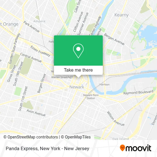
See Panda Express, Newark, on the map
Public Transit to Panda Express in Newark
Wondering how to get to Panda Express in Newark? Moovit helps you find the best way to get to Panda Express with step-by-step directions from the nearest public transit station.
Moovit provides free maps and live directions to help you navigate through your city. View schedules, routes, timetables, and find out how long does it take to get to Panda Express in real time.
Looking for the nearest stop or station to Panda Express? Check out this list of stops closest to your destination: Washington St at Bleeker St; Broad St at Prudential Dr; Broad St at Cedar St; Atlantic Street Light Rail Station; Broad St at Central Ave; Central Ave at Broad St; Central Ave at Halsey St.
Bus: 1, 108, 24, 72, 73, 76, 78, 11, 28, 29, 13, 27, 30, GO28, 378, 59, 41, 44, 71.Train: MEL, RED.
Want to see if there’s another route that gets you there at an earlier time? Moovit helps you find alternative routes or times. Get directions from and directions to Panda Express easily from the Moovit App or Website.
We make riding to Panda Express easy, which is why over 1.5 million users, including users in Newark, trust Moovit as the best app for public transit. You don’t need to download an individual bus app or train app, Moovit is your all-in-one transit app that helps you find the best bus time or train time available.
For information on prices of bus, train and light rail, costs and ride fares to Panda Express, please check the Moovit app.
Use the app to navigate to popular places including to the airport, hospital, stadium, grocery store, mall, coffee shop, school, college, and university.
Panda Express Address: 60 Halsey St street in Newark
- Vibe BBQ by Marcus Samuelsson,
- Virtually Assured Administrative Services,
- The Newark Printshop,
- Black House Black Joy Film,
- Industrial Bank,
- Paul Robeson Galleries, Express Newark,
- Sweetwaters Coffee & Tea,
- Art Kitchen,
- Neighborhood Scoops LL,
- Hanhe Building,
- Bunkr.,
- Sweetwaters Hanhe Bldg,
- The Residences at Hahne & Co,
- Imu Media,
- Privilege,
- Mr Chimney Sweep NJ,
- Qaalii's Cafe,
- Halsey,
- 41 Gentlemens Association Inc,
- Kids Apparelng
Places Near Panda Express (Newark)
- Hudson Yards, Manhattan,
- 376 Hudson Street, Manhattan,
- 3 Stone St, Manhattan,
- Katz's Deli, Manhattan,
- Pier 83, Manhattan,
- Wall Street, Manhattan,
- Times Square, Manhattan,
- 66 John Street, Manhattan,
- 111 Centre New York City Supreme Court, Manhattan,
- Queens Center Mall, Queens,
- Rockefeller Center, Manhattan,
- San Gennaro Feast, Manhattan,
- 911 Memorial, Manhattan,
- qqqq, Manhattan,
- Chinatown, Manhattan,
- Bellevue Hospital, Manhattan,
- Mountainside Hospital, Glen Ridge,
- 26 Federal Plaza, Manhattan,
- 1 Police Plaza, Manhattan,
- SoHo, Manhattan
How to get to popular places in New York - New Jersey with public transit
Get around Newark by public transit!
Traveling around Newark has never been so easy. See step by step directions as you travel to any attraction, street or major public transit station. View bus and train schedules, arrival times, service alerts and detailed routes on a map, so you know exactly how to get to anywhere in Newark.
When traveling to any destination around Newark use Moovit's Live Directions with Get Off Notifications to know exactly where and how far to walk, how long to wait for your line, and how many stops are left. Moovit will alert you when it's time to get off — no need to constantly re-check whether yours is the next stop.
Wondering how to use public transit in Newark or how to pay for public transit in Newark? Moovit public transit app can help you navigate your way with public transit easily, and at minimum cost. It includes public transit fees, ticket prices, and costs. Looking for a map of Newark public transit lines? Moovit public transit app shows all public transit maps in Newark with all Bus, Train, Subway, Light Rail, Ferry and Cable Car routes and stops on an interactive map.
New York - New Jersey has 6 transit type(s), including: Bus, Train, Subway, Light Rail, Ferry and Cable Car, operated by several transit agencies, including MTA Subway, Metro-North Railroad, LIRR, PATH, MTA New York City Transit - Express routes, MTA Bus, NJ Transit, NYC Ferry, NICE bus, Bee-Line Bus, NJ Transit Rail, Norwalk Transit District, Hartford Line, River Valley Transit and HART