How to get to Papelia Vatis by bus?
Click on the bus route to see step by step directions with maps, line arrival times and updated time schedules.
From Fraccionamiento San Marcos, Aguascalientes
47 minFrom Avenida Héroe de Nacozari Sur, Aguascalientes
25 minFrom Fracc. Villas de la Cantera, Aguascalientes
52 minFrom Rancho Santa Mónica, Aguascalientes
62 minFrom Paseos de San Antonio, Aguascalientes
48 minFrom Laboratorio Clínico CMQ, Aguascalientes
57 minFrom Fracc. Morelos I, Aguascalientes
30 minFrom Paseos de San Antonio, Aguascalientes
46 minFrom Sabropollo rastro, Aguascalientes
40 minFrom Canteras de San Agustín, Aguascalientes
51 min
Bus stops near Papelia Vatis in Aguascalientes
Bus lines to Papelia Vatis in Aguascalientes
What are the closest stations to Papelia Vatis?
The closest stations to Papelia Vatis are:
- Avenida Rodolfo Landeros Gallegos, 503 is 120 meters away, 2 min walk.
- Avenida Rodolfo Landeros Gallegos, 403 is 198 meters away, 3 min walk.
- Miguel Angel Barberena Vega, 1344 is 514 meters away, 7 min walk.
Which bus lines stop near Papelia Vatis?
These bus lines stop near Papelia Vatis: RUTA 16, RUTA 23, RUTA 42, RUTA 45, RUTA 50.
What’s the nearest bus station to Papelia Vatis in Aguascalientes?
The nearest bus station to Papelia Vatis in Aguascalientes is Avenida Rodolfo Landeros Gallegos, 503. It’s a 2 min walk away.
What time is the first bus to Papelia Vatis in Aguascalientes?
The RUTA 42 is the first bus that goes to Papelia Vatis in Aguascalientes. It stops nearby at 5:58 AM.
What time is the last bus to Papelia Vatis in Aguascalientes?
The RUTA 45 is the last bus that goes to Papelia Vatis in Aguascalientes. It stops nearby at 10:30 PM.
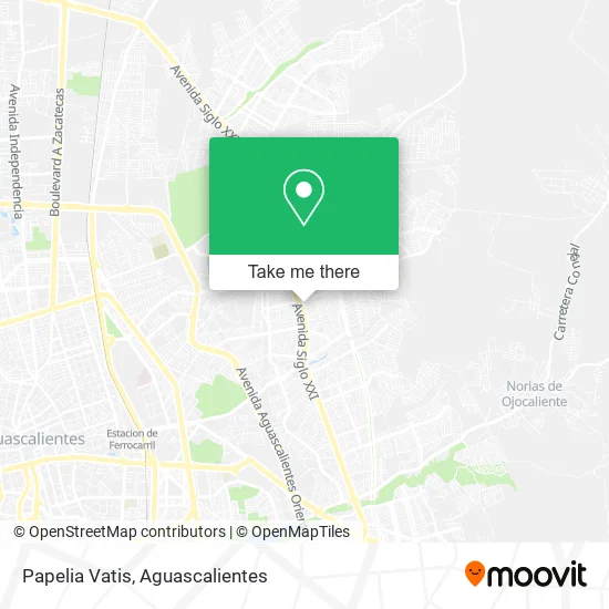
See Papelia Vatis, Aguascalientes, on the map
Public Transit to Papelia Vatis in Aguascalientes
Wondering how to get to Papelia Vatis in Aguascalientes? Moovit helps you find the best way to get to Papelia Vatis with step-by-step directions from the nearest public transit station.
Moovit provides free maps and live directions to help you navigate through your city. View schedules, routes, timetables, and find out how long does it take to get to Papelia Vatis in real time.
Looking for the nearest stop or station to Papelia Vatis? Check out this list of stops closest to your destination: Avenida Rodolfo Landeros Gallegos; Avenida Rodolfo Landeros Gallegos; Miguel Angel Barberena Vega.
Bus: RUTA 16, RUTA 23, RUTA 42, RUTA 45, RUTA 50, RUTA 48.
Want to see if there’s another route that gets you there at an earlier time? Moovit helps you find alternative routes or times. Get directions from and directions to Papelia Vatis easily from the Moovit App or Website.
We make riding to Papelia Vatis easy, which is why over 1.5 million users, including users in Aguascalientes, trust Moovit as the best app for public transit. You don’t need to download an individual bus app or train app, Moovit is your all-in-one transit app that helps you find the best bus time or train time available.
For information on prices of bus, costs and ride fares to Papelia Vatis, please check the Moovit app.
Use the app to navigate to popular places including to the airport, hospital, stadium, grocery store, mall, coffee shop, school, college, and university.
Papelia Vatis Address: Calle Haydee Romero 232, Fracc Rodolfo Landeros Gallegos, 20170 Aguascalientes, Aguascalientes street in Aguascalientes
- Rodolfo Landeros,
- Bodega de Muebles sobre Diseño,
- Préstamo Seguro,
- Casa de Empeño El Cerrito,
- Madereria La Ideal,
- Comercio al por Menor de Sombreros,
- El Árbol de la Vida,
- Merkadito,
- Purificadora Acuayo,
- Internet y Copias,
- Pollo Chabeto,
- Comercio al por Menor de Artículos y Aparatos Deportivos,
- Mueblería Merkdito,
- Obrador Esperanza,
- Renta de Cabaña Salida a San Luis,
- Taller mecánico Tms,
- Radiadores Phar Aguascalientes,
- Transmisiones Automaticas lópez,
- Carniceria Santa Fe,
- Distribuidora Phar de Aguascalientes
Places Near Papelia Vatis (Aguascalientes)
- Aeropuerto de Aguascalientes S.A. de C.V., Aguascalientes,
- Jesús María, Aguascalientes,
- Central De Autobuses, Aguascalientes,
- clinica 3 uaa, Aguascalientes,
- Universidad Autónoma de Aguascalientes, Aguascalientes,
- Nuevo Hospital Hidalgo, Aguascalientes,
- Isla San Marcos, Aguascalientes,
- Terminal De Combis, Aguascalientes,
- La Isla San Marcos, Aguascalientes,
- Centro, Aguascalientes,
- Villas de Nuestra Señora de la Asunción, Aguascalientes,
- Imss Clinica 1, Aguascalientes,
- Blvd. Luis Donaldo Colosio, Aguascalientes,
- ESPACIOS, Aguascalientes,
- Villasuncion, Aguascalientes,
- Centro Comercial Altaria, Aguascalientes,
- Parque Las Tres Centurias, Aguascalientes,
- Hospital Imss No. 3, Aguascalientes,
- Agropecuario, Aguascalientes,
- Ciudad industrial, Aguascalientes
How to get to popular places in Aguascalientes with public transit
Get around Aguascalientes by public transit!
Traveling around Aguascalientes has never been so easy. See step by step directions as you travel to any attraction, street or major public transit station. View bus and train schedules, arrival times, service alerts and detailed routes on a map, so you know exactly how to get to anywhere in Aguascalientes.
When traveling to any destination around Aguascalientes use Moovit's Live Directions with Get Off Notifications to know exactly where and how far to walk, how long to wait for your line, and how many stops are left. Moovit will alert you when it's time to get off — no need to constantly re-check whether yours is the next stop.
Wondering how to use public transit in Aguascalientes or how to pay for public transit in Aguascalientes? Moovit public transit app can help you navigate your way with public transit easily, and at minimum cost. It includes public transit fees, ticket prices, and costs. Looking for a map of Aguascalientes public transit lines? Moovit public transit app shows all public transit maps in Aguascalientes with all bus routes and stops on an interactive map.
Aguascalientes has 1 transit type(s), including: bus, operated by several transit agencies, including Coordinación General de Movilidad