Paramount / Firestone stop - Thursday schedule
| Line | Direction | Time |
|---|---|---|
| 265 | Pico Rivera | 5:39 AM |
| 265 | Pico Rivera | 6:45 AM |
| 265 | Pico Rivera | 7:39 AM |
| 265 | Pico Rivera | 8:30 AM |
| 265 | Pico Rivera | 9:14 AM |
| 265 | Pico Rivera | 10:02 AM |
| 265 | Pico Rivera | 10:47 AM |
| 265 | Pico Rivera | 11:32 AM |
| 265 | Pico Rivera | 12:17 PM |
| 265 | Pico Rivera | 1:04 PM |
| 265 | Pico Rivera | 1:50 PM |
| 265 | Pico Rivera | 2:38 PM |
| 265 | Pico Rivera | 3:38 PM |
| 265 | Pico Rivera | 4:30 PM |
| 265 | Pico Rivera | 5:19 PM |
| 265 | Pico Rivera | 6:11 PM |
| 265 | Pico Rivera | 6:58 PM |
| 265 | Pico Rivera | 7:34 PM |
| 265 | Pico Rivera | 8:12 PM |
| 265 | Pico Rivera | 8:52 PM |
Directions to Paramount / Firestone stop (Downey) with public transit
The following transit lines have routes that pass near Paramount / Firestone
 Bus: 115, 265, 1, 2, 3.
- Subway: C LINE.
How to get to Paramount / Firestone stop by bus?
Click on the bus route to see step by step directions with maps, line arrival times and updated time schedules.
Bus stops near Paramount / Firestone stop in Downey
- Paramount / Firestone, 1 min walk,
- Downey Transit Center, 4 min walk,
- Firestone / Paramount, 7 min walk,
Subway stations near Paramount / Firestone station in Downey
- Lakewood Blvd Station, 61 min walk,
Bus lines to Paramount / Firestone stop in Downey
- 265, Pico Rivera,
- 1, Southeast Route,
- 2, Southwest Route,
- 3, Northwest Route,
- 4, Northeast Route,
- 5, South Route,
- 6, North Route,
- 127, Harbor Fwy STA - Downey,
- 115, Norwalk Station / C Line,
What are the closest stations to Paramount / Firestone?
The closest stations to Paramount / Firestone are:
- Paramount / Firestone stop is 58 yards away, 1 min walk.
- Downey Transit Center stop is 258 yards away, 4 min walk.
- Firestone / Paramount stop is 522 yards away, 7 min walk.
- Lakewood Blvd Station is 5244 yards away, 61 min walk.
Which bus lines stop near Paramount / Firestone?
These bus lines stop near Paramount / Firestone: 115, 265.
What’s the nearest bus station to Paramount / Firestone in Downey?
The nearest bus station to Paramount / Firestone in Downey is Paramount / Firestone. It’s a 1 min walk away.
What time is the first subway to Paramount / Firestone in Downey?
The C LINE is the first subway that goes to Paramount / Firestone in Downey. It stops nearby at 3:55 AM.
What time is the last subway to Paramount / Firestone in Downey?
The C LINE is the last subway that goes to Paramount / Firestone in Downey. It stops nearby at 12:48 AM.
What time is the first bus to Paramount / Firestone in Downey?
The 115 is the first bus that goes to Paramount / Firestone in Downey. It stops nearby at 4:30 AM.
What time is the last bus to Paramount / Firestone in Downey?
The 115 is the last bus that goes to Paramount / Firestone in Downey. It stops nearby at 12:17 AM.
Paramount / Firestone station
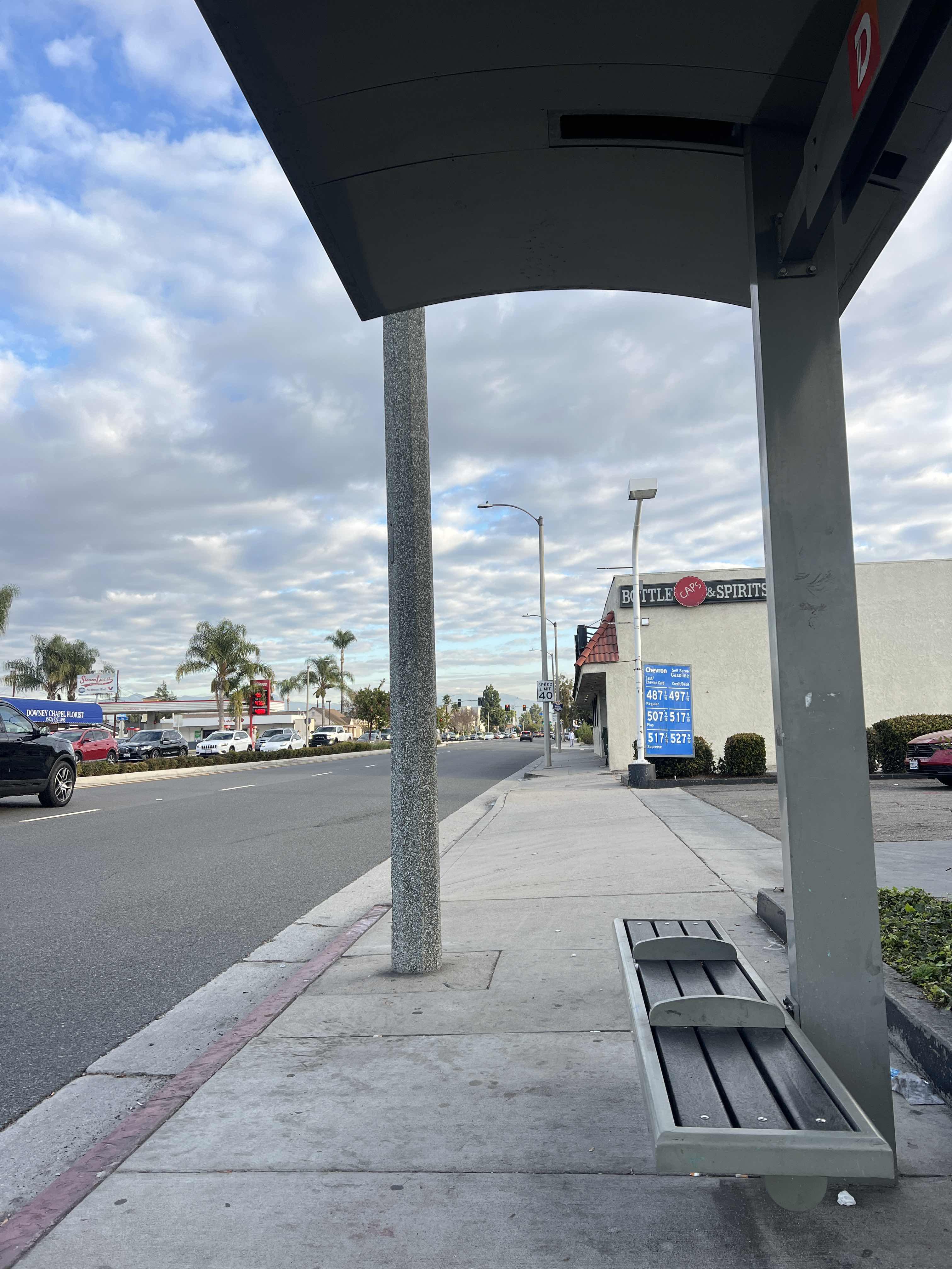 Taken by Yury V.
See Paramount / Firestone stop, Downey, on the map
Public transit to Paramount / Firestone stop (ID: 4279) in Downey
Looking for directions to Paramount / Firestone in Downey, United States?
Download the Moovit App to find the current schedule and step-by-step directions for Bus or Subway routes that pass through Paramount / Firestone.
Looking for the nearest stops closest to Paramount / Firestone ? Check out this list of closest stops to your destination: Paramount / Firestone; Downey Transit Center; Firestone / Paramount; Lakewood Blvd Station.
Bus: 115, 265, 1, 2, 3, 4, 5.Subway: C LINE.
We make riding on public transit to Paramount / Firestone easy, which is why over 1.7 billion users, including users in Downey trust Moovit as the best app for public transit.
Use the app to navigate to popular places including to the airport, hospital, stadium, grocery store, mall, coffee shop, school, college, and university.
Paramount / Firestone stop’s code is 4279
The first line to this stop is 265, at 5:39 AM, and the last line is 265 at 8:52 PM.
8001 Firestone Blvd, Downey, CA, USA
This stop serves Metro’s lines
- Paramount / Firestone,
- Downey Transit Center,
- Firestone / Paramount
Bus stops near Paramount / Firestone stop
- Lakewood Blvd Station
Subway station near Paramount / Firestone station
- Lomita Bl at Main St & Wilmington Bl,
- Victory / Reseda,
- Central Ave & W Rosecrans Ave,
- Valley View Ave & Imperial Hwy,
- Sherman Way / Balboa,
- LAX Terminal 4 Upper Level Drop Off,
- Long Beach Blvd. at Anaheim St.,
- Lincoln / Montana,
- Colima Rd and Whittier Blvd N,
- Terminal 28 - East Lot,
- Marengo St & State St (Eastbound) (4329),
- Sepulveda Blvd & Roscoe Blvd Northbound,
- Slauson / Santa Fe,
- Atlantic & Wardlow SW,
- Normandie / Slauson,
- Figueroa / Avenue 57,
- Knotts Berry Farm,
- Sepulveda Blvd/Sawtelle Blvd,
- Beverly Glen Blvd & Pico Blvd (Southbound),
- 2nd / Broadway
Popular public transit stations in Downey
Get around Downey by public transit!
Traveling around Downey has never been so easy. See step by step directions as you travel to any attraction, street or major public transit station. View bus and train schedules, arrival times, service alerts and detailed routes on a map, so you know exactly how to get to anywhere in Downey.
When traveling to any destination around Downey use Moovit's Live Directions with Get Off Notifications to know exactly where and how far to walk, how long to wait for your line, and how many stops are left. Moovit will alert you when it's time to get off — no need to constantly re-check whether yours is the next stop.
Wondering how to use public transit in Downey or how to pay for public transit in Downey? Moovit public transit app can help you navigate your way with public transit easily, and at minimum cost. It includes public transit fees, ticket prices, and costs. Looking for a map of Downey public transit lines? Moovit public transit app shows all public transit maps in Downey with all Bus, Train, Subway, Ferry and Funicular routes and stops on an interactive map.
Los Angeles has 5 transit type(s), including: Bus, Train, Subway, Ferry and Funicular, operated by several transit agencies, including Metro, Metro Event Service, Alhambra Community Transit (ACT), Arcadia Transit, Artesia Transit, AVTA, Baldwin Park Transit, Beach Cities Transit, Beaumont Transit, Bell Gardens Town Trolley, Bellflower Bus, Big Blue Bus, Burbank Bus, Calabasas Trolley and Camarillo Area Transit