Parklands Drive stop - Monday schedule
| Line | Direction | Time |
|---|---|---|
| 203 | Farranree | 7:08 AM |
| 203 | Ballyphehane | 7:15 AM |
| 203 | Farranree | 7:30 AM |
| 203 | Ballyphehane | 7:35 AM |
| 203 | Farranree | 7:39 AM |
| 203 | Ballyphehane | 7:55 AM |
| 203 | Farranree | 8:06 AM |
| 203 | Ballyphehane | 8:15 AM |
| 203 | Farranree | 8:32 AM |
| 203 | Ballyphehane | 8:35 AM |
| 203 | Farranree | 8:47 AM |
| 203 | Ballyphehane | 8:55 AM |
| 203 | Ballyphehane | 9:15 AM |
| 203 | Farranree | 9:22 AM |
| 203 | Ballyphehane | 9:35 AM |
| 203 | Farranree | 9:42 AM |
| 203 | Ballyphehane | 9:55 AM |
| 203 | Farranree | 9:57 AM |
| 203 | Farranree | 10:11 AM |
| 203 | Ballyphehane | 10:15 AM |
| 203 | Farranree | 10:28 AM |
| 203 | Ballyphehane | 10:35 AM |
| 203 | Farranree | 10:48 AM |
| 203 | Ballyphehane | 10:55 AM |
| 203 | Farranree | 11:08 AM |
Directions to Parklands Drive stop (Cork) with public transit
The following transit lines have routes that pass near Parklands Drive
 Bus: 203, 215, 243, 519, 248.
- Train: INTERCITY, RAIL, RAIL.
How to get to Parklands Drive stop by bus?
Click on the bus route to see step by step directions with maps, line arrival times and updated time schedules.
Bus stops near Parklands Drive stop in Cork
- Parkmeade Close, 5 min walk,
- The Commons Inn, 13 min walk,
- Emerald View, 26 min walk,
Train stations near Parklands Drive station in Cork
- Cork (Kent), 20 min walk,
Bus lines to Parklands Drive stop in Cork
- 203, Ballyphehane,
- 215, Cloghroe,
- 243, Cork,
- 519, Charleville,
- 248, Glenville,
What are the closest stations to Parklands Drive?
The closest stations to Parklands Drive are:
- Parkmeade Close is 364 meters away, 5 min walk.
- The Commons Inn is 918 meters away, 13 min walk.
- Cork (Kent) is 1508 meters away, 20 min walk.
- Emerald View is 1957 meters away, 26 min walk.
Which bus line stops near Parklands Drive?
203 (Farranree)
What’s the nearest train station to Parklands Drive in Cork?
The nearest train station to Parklands Drive in Cork is Cork (Kent). It’s a 20 min walk away.
What’s the nearest bus station to Parklands Drive in Cork?
The nearest bus station to Parklands Drive in Cork is Parkmeade Close. It’s a 5 min walk away.
What time is the first train to Parklands Drive in Cork?
The RAIL is the first train that goes to Parklands Drive in Cork. It stops nearby at 5:30 AM.
What time is the last train to Parklands Drive in Cork?
The RAIL is the last train that goes to Parklands Drive in Cork. It stops nearby at 11:55 PM.
What time is the first bus to Parklands Drive in Cork?
The 519 is the first bus that goes to Parklands Drive in Cork. It stops nearby at 5:52 AM.
What time is the last bus to Parklands Drive in Cork?
The 215 is the last bus that goes to Parklands Drive in Cork. It stops nearby at 11:50 PM.
Parklands Drive station
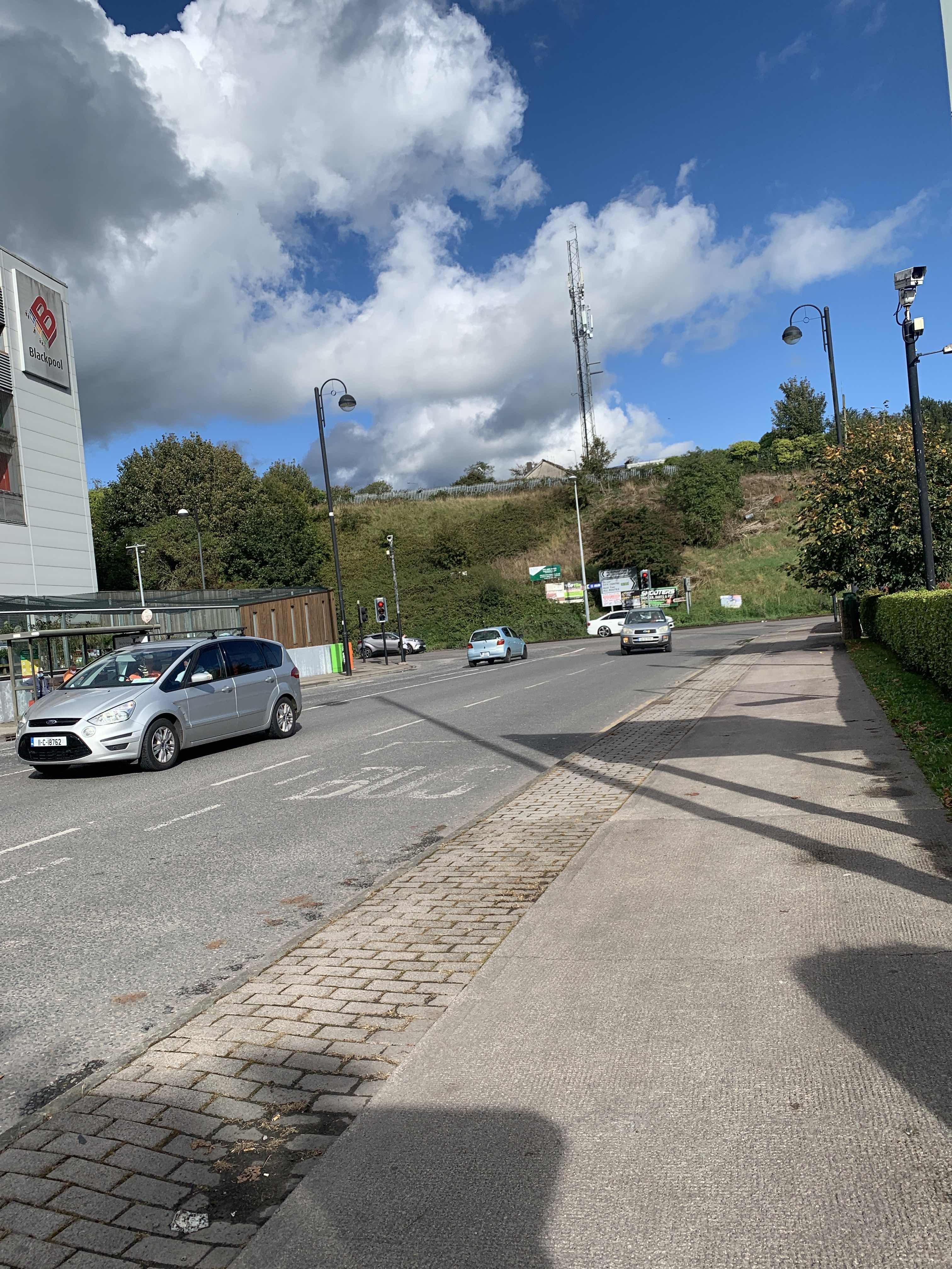 Taken by Anonymous
See Parklands Drive stop, Cork, on the map
Public transit to Parklands Drive stop (ID: 242471) in Cork
Looking for directions to Parklands Drive in Cork, Ireland?
Download the Moovit App to find the current schedule and step-by-step directions for Bus or Train routes that pass through Parklands Drive.
Looking for the nearest stops closest to Parklands Drive ? Check out this list of closest stops to your destination: Parkmeade Close; The Commons Inn; Cork (Kent); Emerald View.
Bus: 203, 215, 243, 519, 248.Train: INTERCITY, RAIL, RAIL.
We make riding on public transit to Parklands Drive easy, which is why over 1.5 million users, including users in Cork trust Moovit as the best app for public transit.
Use the app to navigate to popular places including to the airport, hospital, stadium, grocery store, mall, coffee shop, school, college, and university.
Parklands Drive stop’s code is 242471
The first line to this stop is 203, at 7:08 AM, and the last line is 203 at 11:29 PM.
This stop serves Bus Éireann’s lines
- Parkmeade Close,
- The Commons Inn,
- Emerald View
Bus stops near Parklands Drive stop
- Cork (Kent)
Train station near Parklands Drive station
- Bray Station,
- Terenure Library,
- Clonard Road,
- Northgate Street,
- Belfield Court,
- Ashtown Roundabout,
- Clongriffin Station,
- Rutland Avenue,
- Brickfield Drive,
- Scoil An Spioraid Naoimh,
- St Joseph's Centre,
- Turvey Avenue,
- Shangort Road Galway,
- Wellington Road,
- Kilbarry Shopping Centre,
- Foxborough Place,
- Flannery's Pub,
- Bridge Water Quay,
- Rowan Park,
- Main Street Clondalkin
Popular public transit stations in Cork
Get around Cork by public transit!
Traveling around Cork has never been so easy. See step by step directions as you travel to any attraction, street or major public transit station. View bus and train schedules, arrival times, service alerts and detailed routes on a map, so you know exactly how to get to anywhere in Cork.
When traveling to any destination around Cork use Moovit's Live Directions with Get Off Notifications to know exactly where and how far to walk, how long to wait for your line, and how many stops are left. Moovit will alert you when it's time to get off — no need to constantly re-check whether yours is the next stop.
Wondering how to use public transit in Cork or how to pay for public transit in Cork? Moovit public transit app can help you navigate your way with public transit easily, and at minimum cost. It includes public transit fees, ticket prices, and costs. Looking for a map of Cork public transit lines? Moovit public transit app shows all public transit maps in Cork with all Bus, Train and Light Rail routes and stops on an interactive map.
Ireland has 3 transit type(s), including: Bus, Train and Light Rail, operated by several transit agencies, including Luas, Bus Átha Cliath – Dublin Bus, Bus Éireann, Go-Ahead Ireland, Nitelink, Dublin Bus, Citylink, City Direct, Kenneally's Bus Service, Aircoach, TFI Local Link Mayo, Irish Rail, Express Bus, JJ/Bernard Kavanagh, Dublin Coach and Kearns Transport