Directions to Parkview Farms (Montgomery County) with public transportation
The following transit lines have routes that pass near Parkview Farms
 Bus: 76.
How to get to Parkview Farms by bus?
Click on the bus route to see step by step directions with maps, line arrival times and updated time schedules.
From Kentlands, Montgomery County
29 minFrom Kaiser Permanente - Gaithersburg Medical Center, Montgomery County
93 minFrom Glenstone Museum, Montgomery County
115 minFrom Astrazeneca HQ, Montgomery County
38 minFrom Clarksburg Premium Outlets, Montgomery County
337 minFrom Clarksburg Premium Outlets, Montgomery County
380 minFrom Walmart Supercenter, Montgomery County
128 min
Bus stop near Parkview Farms in Montgomery County
- Whites Ferry Rd & Morrow Rd, 10 min walk,VIEW
Bus lines to Parkview Farms in Montgomery County
- 76, Shady Grove,VIEW
What are the closest stations to Parkview Farms?
The closest stations to Parkview Farms are:
- Whites Ferry Rd & Morrow Rd is 810 yards away, 10 min walk.
Which bus line stops near Parkview Farms?
76 (Poolesville)
What’s the nearest bus station to Parkview Farms in Montgomery County?
The nearest bus station to Parkview Farms in Montgomery County is Whites Ferry Rd & Morrow Rd. It’s a 10 min walk away.
What time is the first bus to Parkview Farms in Montgomery County?
The 76 is the first bus that goes to Parkview Farms in Montgomery County. It stops nearby at 5:17 AM.
What time is the last bus to Parkview Farms in Montgomery County?
The 76 is the last bus that goes to Parkview Farms in Montgomery County. It stops nearby at 8:31 PM.
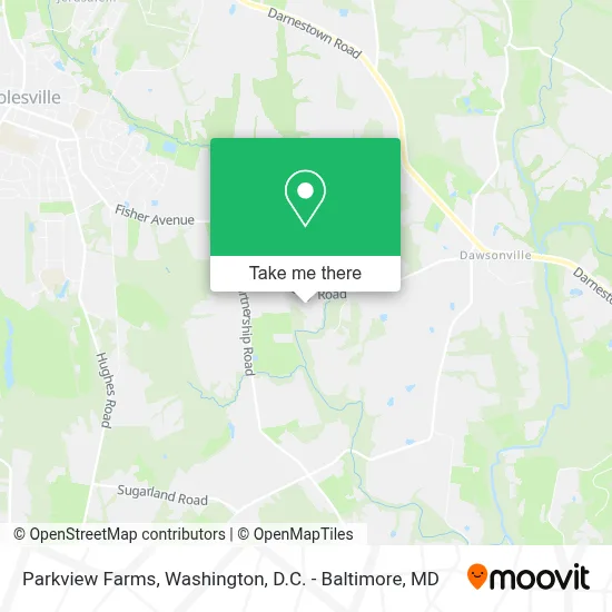
See Parkview Farms, Montgomery County, on the map
Public Transit to Parkview Farms in Montgomery County
Wondering how to get to Parkview Farms in Montgomery County? Moovit helps you find the best way to get to Parkview Farms with step-by-step directions from the nearest public transit station.
Moovit provides free maps and live directions to help you navigate through your city. View schedules, routes, timetables, and find out how long does it take to get to Parkview Farms in real time.
Looking for the nearest stop or station to Parkview Farms? Check out this list of stops closest to your destination: Whites Ferry Rd & Morrow Rd.
Bus: 76.
Want to see if there’s another route that gets you there at an earlier time? Moovit helps you find alternative routes or times. Get directions from and directions to Parkview Farms easily from the Moovit App or Website.
We make riding to Parkview Farms easy, which is why over 1.7 million users, including users in Montgomery County, trust Moovit as the best app for public transit. You don’t need to download an individual bus app or train app, Moovit is your all-in-one transit app that helps you find the best bus time or train time available.
For information on prices of bus, costs and ride fares to Parkview Farms, please check the Moovit app.
Use the app to navigate to popular places including to the airport, hospital, stadium, grocery store, mall, coffee shop, school, college, and university.
Parkview Farms Address: 17820 Whites Ferry Rd street in Montgomery County
- Pestx,
- Jolly Lights Dmv,
- Highfill Custom Woodworks Llc,
- Ee Halmos Park Field #2,
- Potomac Lux,
- Nick’S Home Delivery Service,
- Capital Fence, Inc.,
- M&T Bank Atm,
- Atm Cvs,
- Tigani Orthodontics,
- Blink,
- Vissari Home Studio,
- Dr. Tigani,
- Muh Flowers™ Muh Flowers,
- Michael Pasco, Crpc® - Wilmington Advisors @ M&T,
- Stump Insurance,
- Bb&T Atm,
- Maggie Nightingale Library,
- Thai Commons,
- Bikes And Breakfast - Poolesville
Places Near Parkview Farms (Montgomery County)
- Marriott Marquis Washington, DC, Washington,
- Sibley Memorial Hospital, Washington,
- Capital One Arena, Washington,
- The Anthem, Washington,
- Westfield Montgomery Mall, Montgomery County,
- National Zoo, Washington,
- M&T Bank Stadium, Baltimore,
- Washington National Cathedral, Washington,
- Georgetown, Washington,
- PG Mall, Prince George's County,
- Pennsylvania Ave NW (3rd st and pennsylvania), Washington,
- Camden Yards, Baltimore,
- National Museum of African American History and Culture, Washington,
- National Theatre, Washington,
- Rock Creek Tennis Center, Washington,
- Washington DC VA Medical Center, Washington,
- Amazon Hq2, Arlington County,
- Museum Of The Bible, Washington,
- Warner Theatre, Washington,
- Basilica of the National Shrine, Washington
How to get to popular places in Washington, D.C. - Baltimore, MD with public transit
Get around Montgomery County by public transit!
Traveling around Montgomery County has never been so easy. See step by step directions as you travel to any attraction, street or major public transit station. View bus and train schedules, arrival times, service alerts and detailed routes on a map, so you know exactly how to get to anywhere in Montgomery County.
When traveling to any destination around Montgomery County use Moovit's Live Directions with Get Off Notifications to know exactly where and how far to walk, how long to wait for your line, and how many stops are left. Moovit will alert you when it's time to get off — no need to constantly re-check whether yours is the next stop.
Wondering how to use public transit in Montgomery County or how to pay for public transit in Montgomery County? Moovit public transit app can help you navigate your way with public transit easily, and at minimum cost. It includes public transit fees, ticket prices, and costs. Looking for a map of Montgomery County public transit lines? Moovit public transit app shows all public transit maps in Montgomery County with all Bus, Train, Metro, Light Rail and Ferry routes and stops on an interactive map.
Washington, D.C. - Baltimore, MD has 5 transit type(s), including: Bus, Train, Metro, Light Rail and Ferry, operated by several transit agencies, including WMATA, Montgomery County Ride On, Fairfax Connector, TheBus, PRTC, DASH - Alexandria, Arlington Transit (ART), RTA of Central Maryland, MDOT MTA, MDOT MTA Light RailLink, MDOT MTA Commuter Bus, MDOT MTA Local Bus, FXBGO!, Virginia Railway Express (VRE) and MARC