Parnell Road stop - Friday schedule
| Line | Direction | Time |
|---|---|---|
| 150 | Hawkins Street | 6:40 AM |
| 150 | Hawkins Street | 7:06 AM |
| 150 | Hawkins Street | 7:26 AM |
| 150 | Hawkins Street | 7:41 AM |
| 150 | Hawkins Street | 8:00 AM |
| 150 | Hawkins Street | 8:15 AM |
| 150 | Hawkins Street | 8:30 AM |
| 150 | Hawkins Street | 8:45 AM |
| 150 | Hawkins Street | 9:00 AM |
| 150 | Hawkins Street | 9:15 AM |
| 150 | Hawkins Street | 9:30 AM |
| 150 | Hawkins Street | 9:43 AM |
| 150 | Hawkins Street | 9:54 AM |
| 150 | Hawkins Street | 10:09 AM |
| 150 | Hawkins Street | 10:24 AM |
| 150 | Hawkins Street | 10:44 AM |
| 150 | Hawkins Street | 11:04 AM |
| 150 | Hawkins Street | 11:24 AM |
| 150 | Hawkins Street | 11:44 AM |
| 150 | Hawkins Street | 12:07 PM |
| 150 | Hawkins Street | 12:27 PM |
| 150 | Hawkins Street | 12:47 PM |
| 150 | Hawkins Street | 1:07 PM |
| 150 | Hawkins Street | 1:27 PM |
| 150 | Hawkins Street | 1:47 PM |
Directions to Parnell Road stop (Dublin) with public transit
The following transit lines have routes that pass near Parnell Road
 Bus: 122, 150, 68, 68A.
- Train: DART, RAIL.
How to get to Parnell Road stop by bus?
Click on the bus route to see step by step directions with maps, line arrival times and updated time schedules.
How to get to Parnell Road stop by train?
Click on the train route to see step by step directions with maps, line arrival times and updated time schedules.
Bus stops near Parnell Road stop in Dublin
- Parnell Road, 1 min walk,
- National Stadium, 4 min walk,
Light Rail stations near Parnell Road station in Dublin
- Fatima, 18 min walk,
Bus lines to Parnell Road stop in Dublin
- 150, Limekiln Avenue,
- 68, Poolbeg St,
- 68A, Bulfin Road,
- 122, O'Connell St./College Green,
What are the closest stations to Parnell Road?
The closest stations to Parnell Road are:
- Parnell Road is 28 meters away, 1 min walk.
- National Stadium is 280 meters away, 4 min walk.
- Fatima is 1365 meters away, 18 min walk.
Which bus lines stop near Parnell Road?
These bus lines stop near Parnell Road: 122, 150.
Which train lines stop near Parnell Road?
These train lines stop near Parnell Road: DART, RAIL.
What’s the nearest light rail station to Parnell Road in Dublin?
The nearest light rail station to Parnell Road in Dublin is Fatima. It’s a 18 min walk away.
What’s the nearest bus station to Parnell Road in Dublin?
The nearest bus station to Parnell Road in Dublin is Parnell Road. It’s a 1 min walk away.
What time is the first light rail to Parnell Road in Dublin?
The RED is the first light rail that goes to Parnell Road in Dublin. It stops nearby at 5:41 AM.
What time is the last light rail to Parnell Road in Dublin?
The RED is the last light rail that goes to Parnell Road in Dublin. It stops nearby at 12:52 AM.
What time is the first bus to Parnell Road in Dublin?
The 68 is the first bus that goes to Parnell Road in Dublin. It stops nearby at 6:37 AM.
What time is the last bus to Parnell Road in Dublin?
The 122 is the last bus that goes to Parnell Road in Dublin. It stops nearby at 11:53 PM.
Parnell Road station
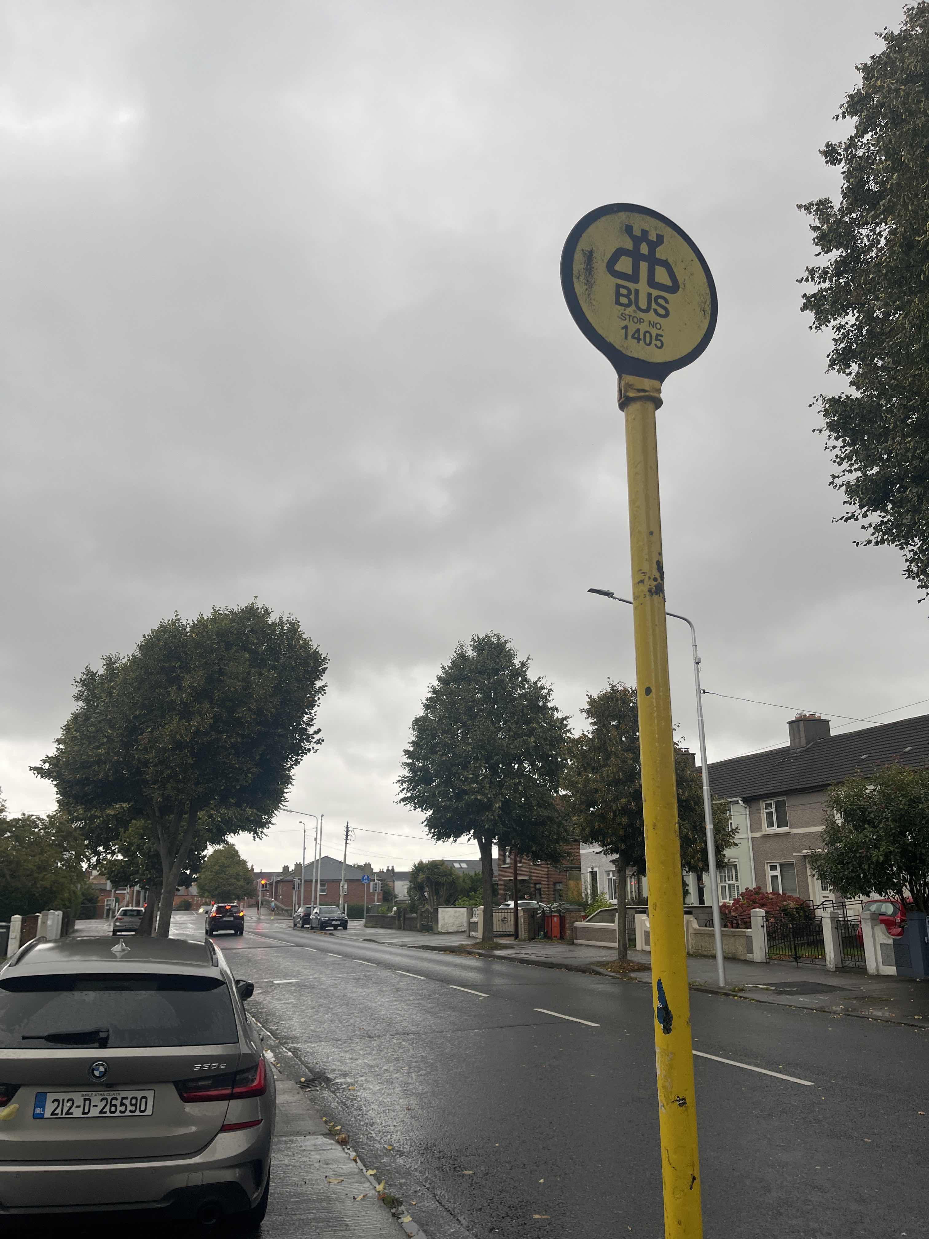 Taken by Anonymous
See Parnell Road stop, Dublin, on the map
Public transit to Parnell Road stop (ID: 1405) in Dublin
Looking for directions to Parnell Road in Dublin, Ireland?
Download the Moovit App to find the current schedule and step-by-step directions for Bus or Train routes that pass through Parnell Road.
Looking for the nearest stops closest to Parnell Road ? Check out this list of closest stops to your destination: Parnell Road; National Stadium; Fatima.
Bus: 122, 150, 68, 68A.Train: DART, RAIL.
We make riding on public transit to Parnell Road easy, which is why over 1.5 million users, including users in Dublin trust Moovit as the best app for public transit.
Use the app to navigate to popular places including to the airport, hospital, stadium, grocery store, mall, coffee shop, school, college, and university.
Parnell Road stop’s code is 1405
The first line to this stop is 150, at 6:40 AM, and the last line is 150 at 11:37 PM.
This stop serves Bus Átha Cliath – Dublin Bus’s lines
Popular routes from Parnell Road stop, Dublin
- Parnell Road,
- National Stadium
Bus stops near Parnell Road stop
- Fatima
Light Rail station near Parnell Road station
- Church Street Upper,
- Orwell Gardens,
- Dunawley Drive,
- Patrick Street,
- Connolly Station,
- North Bull Island,
- Upper Strand,
- Carrickmines Luas,
- Leeson Street Upper,
- Camden Street Lower,
- Dublin City South, Lower Mount Street,
- Dromadeesirt,
- Alsaa Sports Club,
- Sarah Curran Avenue,
- Slane,
- Tolka Bridge,
- Conna,
- Merrion Street,
- Cheeverstown House,
- Merlin Park Hospital
Popular public transit stations in Dublin
Get around Dublin by public transit!
Traveling around Dublin has never been so easy. See step by step directions as you travel to any attraction, street or major public transit station. View bus and train schedules, arrival times, service alerts and detailed routes on a map, so you know exactly how to get to anywhere in Dublin.
When traveling to any destination around Dublin use Moovit's Live Directions with Get Off Notifications to know exactly where and how far to walk, how long to wait for your line, and how many stops are left. Moovit will alert you when it's time to get off — no need to constantly re-check whether yours is the next stop.
Wondering how to use public transit in Dublin or how to pay for public transit in Dublin? Moovit public transit app can help you navigate your way with public transit easily, and at minimum cost. It includes public transit fees, ticket prices, and costs. Looking for a map of Dublin public transit lines? Moovit public transit app shows all public transit maps in Dublin with all Bus, Train and Light Rail routes and stops on an interactive map.
Ireland has 3 transit type(s), including: Bus, Train and Light Rail, operated by several transit agencies, including Luas, Bus Átha Cliath – Dublin Bus, Bus Éireann, Go-Ahead Ireland, Nitelink, Dublin Bus, Citylink, City Direct, Kenneally's Bus Service, Aircoach, TFI Local Link Mayo, Irish Rail, Express Bus, JJ/Bernard Kavanagh, Dublin Coach and Kearns Transport