Parque Piedade stop - Tuesday schedule
| Line | Direction | Time |
|---|---|---|
| SN 636 | Taquara (Merck) | 3:13 AM |
| SN 636 | Taquara (Merck) | 3:53 AM |
| 636 | Taquara (Merck) | 5:05 AM |
| 636 | Taquara (Merck) | 5:21 AM |
| 636 | Taquara (Merck) | 5:36 AM |
| 636 | Taquara (Merck) | 5:46 AM |
| 636 | Taquara (Merck) | 5:56 AM |
| 636 | Taquara (Merck) | 6:06 AM |
| 636 | Taquara (Merck) | 6:16 AM |
| 636 | Taquara (Merck) | 6:26 AM |
| 636 | Taquara (Merck) | 6:36 AM |
| 636 | Taquara (Merck) | 6:46 AM |
| 636 | Taquara (Merck) | 6:56 AM |
| 636 | Taquara (Merck) | 7:08 AM |
| 636 | Taquara (Merck) | 7:21 AM |
| 636 | Taquara (Merck) | 7:34 AM |
| 636 | Taquara (Merck) | 7:44 AM |
| 636 | Taquara (Merck) | 7:54 AM |
| 636 | Taquara (Merck) | 8:04 AM |
| 636 | Taquara (Merck) | 8:14 AM |
| 636 | Taquara (Merck) | 8:24 AM |
| 636 | Taquara (Merck) | 8:34 AM |
| 636 | Taquara (Merck) | 8:44 AM |
| 636 | Taquara (Merck) | 8:54 AM |
| 636 | Taquara (Merck) | 9:04 AM |
Directions to Parque Piedade stop with public transit
The following transit lines have routes that pass near Parque Piedade
 Bus: 277, 636, 979, 543L, 692.
- Metro: L2.
- Train: RAMAL DEODORO, RAMAL SANTA CRUZ, RAMAL BELFORD ROXO, RAMAL JAPERI.
How to get to Parque Piedade stop by bus?
Click on the bus route to see step by step directions with maps, line arrival times and updated time schedules.
How to get to Parque Piedade stop by train?
Click on the train route to see step by step directions with maps, line arrival times and updated time schedules.
How to get to Parque Piedade stop by metro?
Click on the metro route to see step by step directions with maps, line arrival times and updated time schedules.
Bus stops near Parque Piedade stop
- Rua Silvana, 66, 1 min walk,
- Rua José Domingues, 408-520, 2 min walk,
- Rua Manoel Vitorino 376, 4 min walk,
- Rua Assis Carneiro, 27, 6 min walk,
- Rua Angelina, 25, 8 min walk,
Train stations near Parque Piedade station
- Pilares, 15 min walk,
- Olímpica De Engenho De Dentro, 37 min walk,
Bus lines to Parque Piedade stop
- 277, Candelária,
- 543L, Nova Iguaçu,
- 692, Freguesia,
- SV 692, Alvorada,
- 979, Madureira,
- 636, Taquara (Merck),
- SN 636, Saens Peña,
- 649, Parque Piedade,
- INTERCAMPI 4, Campo Grande,
- 391, Padre Miguel,
- 607, Rio Comprido,
- 653, Deodoro (Área De Lazer),
- 254, Madureira - Candelária (Brs 4 - Via Méier / Uerj),
- 638, Marechal Hermes - Saens Peña (Brs 6 - Via Madureira / Méier / Vila Isabel),
- 639, Jardim América - Saens Peña (Brs 6 - Via Rocha Miranda / Madureira / Méier),
- SN 639, Jardim América - Saens Peña (Brs 6 - Via Rocha Miranda / Madureira / Méier),
- 652, Cascadura - Méier (Via Pilares),
- 669, Pavuna - Méier (Via Alcobaça),
- SV 669, Pavuna - Méier (Via Camboatá),
What are the closest stations to Parque Piedade?
The closest stations to Parque Piedade are:
- Rua Silvana, 66 stop is 33 meters away, 1 min walk.
- Rua José Domingues, 408-520 stop is 117 meters away, 2 min walk.
- Rua Manoel Vitorino 376 stop is 252 meters away, 4 min walk.
- Rua Assis Carneiro, 27 stop is 410 meters away, 6 min walk.
- Rua Angelina, 25 stop is 577 meters away, 8 min walk.
- Pilares station is 1117 meters away, 15 min walk.
- Olímpica De Engenho De Dentro station is 2752 meters away, 37 min walk.
Which bus lines stop near Parque Piedade?
These bus lines stop near Parque Piedade: 277, 636, 979.
Which metro line stops near Parque Piedade?
L2 (Pavuna)
Which train lines stop near Parque Piedade?
These train lines stop near Parque Piedade: RAMAL DEODORO, RAMAL SANTA CRUZ.
What’s the nearest train station to Parque Piedade?
The nearest train station to Parque Piedade is Pilares. It’s a 15 min walk away.
What’s the nearest bus station to Parque Piedade?
The nearest bus station to Parque Piedade is Rua Silvana, 66. It’s a 1 min walk away.
What time is the first train to Parque Piedade?
The RAMAL DEODORO is the first train that goes to Parque Piedade. It stops nearby at 4:25 AM.
What time is the last train to Parque Piedade?
The RAMAL SANTA CRUZ is the last train that goes to Parque Piedade. It stops nearby at 11:40 PM.
What time is the first bus to Parque Piedade?
The SN 636 is the first bus that goes to Parque Piedade. It stops nearby at 3:13 AM.
What time is the last bus to Parque Piedade?
The SN 639 is the last bus that goes to Parque Piedade. It stops nearby at 3:19 AM.
Parque Piedade station
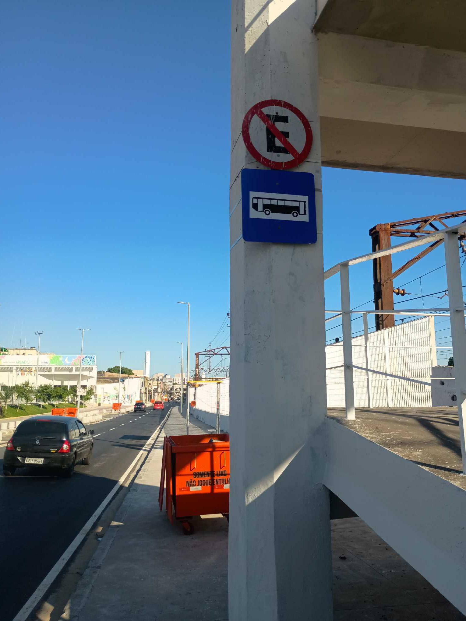 Taken by Anonymous
See Parque Piedade stop on the map
Public transit to Parque Piedade stop
Looking for directions to Parque Piedade in Piedade, Brazil?
Download the Moovit App to find the current schedule and step-by-step directions for Bus, Train or Metro routes that pass through Parque Piedade.
Looking for the nearest stops closest to Parque Piedade ? Check out this list of closest stops to your destination: Rua Silvana; Rua José Domingues; Rua Manoel Vitorino 376; Rua Assis Carneiro; Rua Angelina; Pilares; Olímpica De Engenho De Dentro.
Bus: 277, 636, 979, 543L, 692, SV 692, SN 636, 649, INTERCAMPI 4, 391, 607, 653.Metro: L2.Train: RAMAL DEODORO, RAMAL SANTA CRUZ, RAMAL BELFORD ROXO, RAMAL JAPERI.
We make riding on public transit to Parque Piedade easy, which is why over 1.7 billion users, including users in Piedade trust Moovit as the best app for public transit.
Use the app to navigate to popular places including to the airport, hospital, stadium, grocery store, mall, coffee shop, school, college, and university.
The first line to this stop is SN 636, at 3:13 AM, and the last line is SN 636 at 2:18 AM.
544 Rua Goias, Rio de Janeiro, Brazil
This stop serves Viação Redentor and Rodoviária Âncora Matias’s lines
- Rua Silvana, 66,
- Rua José Domingues, 408-520,
- Rua Manoel Vitorino 376,
- Rua Assis Carneiro, 27,
- Rua Angelina, 25
Bus stops near Parque Piedade stop
- Pilares,
- Olímpica De Engenho De Dentro
Train stations near Parque Piedade station
- Av. Geremário Dantas | Posto De Saúde Do Tanque,
- Avenida Brasil | Passarela 24,
- Ponto Final - Alto Alcobacinha,
- Praia Do Zumbi, 122,
- Posto Do Detran (Guapimirim),
- Estrada Do Galeão, 2315,
- Terminal Rodoviário Prefeito José Carlos Lacerda - Caxias,
- Vidigal - Entrada Principal,
- Avenida Amaro Cavalcanti, 1387,
- Shopping Nova América / Metrô Del Castilho,
- Ponto Final - Largo Do Machado,
- Maria Da Graça,
- Avenida Brasil | Passarela 23,
- Praça Varnhagen,
- Barra Business Center,
- Rodovia Washington Luiz (Sentido Petrópolis) | Casa Do Alemão,
- Estácio - Santa Cruz,
- Praça Dos Abrolhos,
- Rua Deputado Altair De Oliveira Lima, 684,
- Parada Modelo
Popular public transit stations in Piedade
Get around Piedade by public transit!
Traveling around Piedade has never been so easy. See step by step directions as you travel to any attraction, street or major public transit station. View bus and train schedules, arrival times, service alerts and detailed routes on a map, so you know exactly how to get to anywhere in Piedade.
When traveling to any destination around Piedade use Moovit's Live Directions with Get Off Notifications to know exactly where and how far to walk, how long to wait for your line, and how many stops are left. Moovit will alert you when it's time to get off — no need to constantly re-check whether yours is the next stop.
Wondering how to use public transit in Piedade or how to pay for public transit in Piedade? Moovit public transit app can help you navigate your way with public transit easily, and at minimum cost. It includes public transit fees, ticket prices, and costs. Looking for a map of Piedade public transit lines? Moovit public transit app shows all public transit maps in Piedade with all Bus, Train, Metro, Light Rail, Ferry, Cable Car, Gondola and Funicular routes and stops on an interactive map.
Rio de Janeiro Region has 8 transit type(s), including: Bus, Train, Metro, Light Rail, Ferry, Cable Car, Gondola and Funicular, operated by several transit agencies, including TrensRJ, Metrô Rio, VLT Carioca, Barcas Rio, BRT MOBI-Rio, Auto Viação Alpha, Auto Viação Tijuca, Gire Transportes, Transurb, Viação Nossa Senhora das Graças, Consórcio INTERSUL, Braso Lisboa, Caprichosa Auto Ônibus, Auto Viação Três Amigos and Rodoviária Âncora Matias