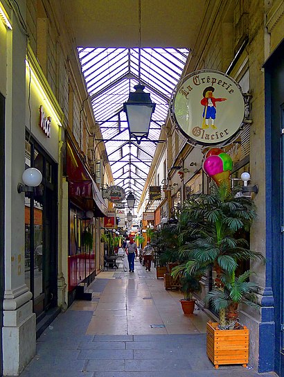
Directions to Passage Des Panoramas (Paris) with public transportation
The following transit lines have routes that pass near Passage Des Panoramas
How to get to Passage Des Panoramas by bus?
Click on the bus route to see step by step directions with maps, line arrival times and updated time schedules.
How to get to Passage Des Panoramas by train?
Click on the train route to see step by step directions with maps, line arrival times and updated time schedules.
How to get to Passage Des Panoramas by metro?
Click on the metro route to see step by step directions with maps, line arrival times and updated time schedules.
Bus stops near Passage Des Panoramas in Paris
- Provence - Faubourg Montmartre, 2 min walk,
- Réaumur - Montmartre, 2 min walk,
- Bourse, 4 min walk,
- Le Peletier, 5 min walk,
- Le Peletier - Haussmann, 5 min walk,
Metro stations near Passage Des Panoramas in Paris
- Richelieu - Drouot, 3 min walk,
- Bourse, 4 min walk,
- Le Peletier, 7 min walk,
Bus lines to Passage Des Panoramas in Paris
- 74, Berges de Seine,
- 85, Châtelet,
- N15, Villejuif - Louis Aragon,
- N16, Mairie de Montreuil,
- 20, Porte Des Lilas,
- 29, Porte de Montempoivre,
- 39, Frères Voisin,
- 40, Mairie du 18e - Jules Joffrin,
- 45, France - Asie,
- 32, Porte D'Auteuil,
What are the closest stations to Passage Des Panoramas?
The closest stations to Passage Des Panoramas are:
- Provence - Faubourg Montmartre is 66 meters away, 2 min walk.
- Réaumur - Montmartre is 126 meters away, 2 min walk.
- Richelieu - Drouot is 193 meters away, 3 min walk.
- Bourse is 234 meters away, 4 min walk.
- Le Peletier is 322 meters away, 5 min walk.
- Le Peletier - Haussmann is 335 meters away, 5 min walk.
Which bus lines stop near Passage Des Panoramas?
These bus lines stop near Passage Des Panoramas: 20, 27, 39, 43, 85.
Which train line stops near Passage Des Panoramas?
L (Cergy-le-Haut/ Versailles-Rive-Droite/ Saint-Nom-la-Bretèche - Forêt de Marly)
Which metro lines stop near Passage Des Panoramas?
These metro lines stop near Passage Des Panoramas: 7, 8, 9.
What’s the nearest metro station to Passage Des Panoramas in Paris?
The nearest metro station to Passage Des Panoramas in Paris is Richelieu - Drouot. It’s a 3 min walk away.
What’s the nearest bus station to Passage Des Panoramas in Paris?
The nearest bus stations to Passage Des Panoramas in Paris are Provence - Faubourg Montmartre and Réaumur - Montmartre. The closest one is a 2 min walk away.
What time is the first metro to Passage Des Panoramas in Paris?
The 8 is the first metro that goes to Passage Des Panoramas in Paris. It stops nearby at 5:31 AM.
What time is the last metro to Passage Des Panoramas in Paris?
The 7 is the last metro that goes to Passage Des Panoramas in Paris. It stops nearby at 1:02 AM.
What time is the first bus to Passage Des Panoramas in Paris?
The N16 is the first bus that goes to Passage Des Panoramas in Paris. It stops nearby at 3:00 AM.
What time is the last bus to Passage Des Panoramas in Paris?
The N16 is the last bus that goes to Passage Des Panoramas in Paris. It stops nearby at 3:39 AM.
See Passage Des Panoramas, Paris, on the map
Public Transit to Passage Des Panoramas in Paris
How to get to Passage Des Panoramas in Paris, France?
It’s easy with Moovit. Type in your street address and Moovit’s route finder will locate the fastest way to get you there! Not sure where to get off on the street? Download the Moovit App to find live directions (including where to get off on Passage Des Panoramas), see timetables and get the estimated arrival times for your favorite metro, bus, RER, train or light rail lines.
Looking for the nearest stop or station to Passage Des Panoramas? Check out this list of closest stops available to your destination: Provence - Faubourg Montmartre; Réaumur - Montmartre; Richelieu - Drouot; Bourse; Le Peletier; Le Peletier - Haussmann.
Bus: 20, 27, 39, 43, 85, 74, N15, N16, 29.Train: L.Metro: 7, 8, 9, 3.
Download the Moovit App to see the current schedule and routes available for Paris. No need to install a special bus app to check the bus time or a train app to get train time. Moovit is the only all-in-one transit app that helps you get where you need to go.
We make riding on public transit to Passage Des Panoramas easy, which is why over 1.5 million users, including users in Paris trust Moovit as the best app for public transit.
Use the app to navigate to popular places including to the airport, hospital, stadium, grocery store, mall, coffee shop, school, college, and university.
Location: Paris
Streets near Passage Des Panoramas, Paris
Get around Paris by public transit!
Traveling around Paris has never been so easy. See step by step directions as you travel to any attraction, street or major public transit station. View bus and train schedules, arrival times, service alerts and detailed routes on a map, so you know exactly how to get to anywhere in Paris.
When traveling to any destination around Paris use Moovit's Live Directions with Get Off Notifications to know exactly where and how far to walk, how long to wait for your line, and how many stops are left. Moovit will alert you when it's time to get off — no need to constantly re-check whether yours is the next stop.
Wondering how to use public transit in Paris or how to pay for public transit in Paris? Moovit public transit app can help you navigate your way with public transit easily, and at minimum cost. It includes public transit fees, ticket prices, and costs. Looking for a map of Paris public transit lines? Moovit public transit app shows all public transit maps in Paris with all Bus, Train, Metro, Light Rail, RER and Funicular routes and stops on an interactive map.
Paris has 6 transit type(s), including: Bus, Train, Metro, Light Rail, RER and Funicular, operated by several transit agencies, including RATP, RER, RER Bus de remplacement, Train, Train Bus de remplacement, TER, Tramway, ADP, Magical Shuttle, Argenteuil - Boucles de Seine, Autocars Dominique, Bièvre, Brie et 2 Morin, Le Bus - C.C. du Clermontois and Chavilbus