How to get to Patterson Locksmiths by bus?
Click on the bus route to see step by step directions with maps, line arrival times and updated time schedules.
From Baptist homestead hospital, Homestead
53 minFrom SW 137th Ave / US-1, Princeton-Goulds
38 minFrom South Dade Senior High School, Homestead
38 minFrom Robert Morgan Educational Center, Kendale Lakes-Tamiami
72 minFrom Baptist Health South Florida Homestead Hospital, Homestead
34 minFrom US 1@SW 248 St, Princeton-Goulds
36 minFrom Cutler Bay, FL, Princeton-Goulds
93 minFrom Zoo Miami, Kendale Lakes-Tamiami
112 minFrom Herbert Ammons Middle School, Kendale Lakes-Tamiami
82 minFrom Eureka Drive & U.S. 1, Kendall-Palmetto Bay
49 min
Bus stops near Patterson Locksmiths in Homestead
Bus lines to Patterson Locksmiths in Homestead
What are the closest stations to Patterson Locksmiths?
The closest stations to Patterson Locksmiths are:
- W Palm Dr @ 3 Ave is 155 yards away, 2 min walk.
- Sw 344 St Park-And-Ride is 237 yards away, 3 min walk.
Which bus lines stop near Patterson Locksmiths?
These bus lines stop near Patterson Locksmiths: 35, 601, 602, 70.
What’s the nearest bus station to Patterson Locksmiths in Homestead?
The nearest bus station to Patterson Locksmiths in Homestead is W Palm Dr @ 3 Ave. It’s a 2 min walk away.
What time is the first bus to Patterson Locksmiths in Homestead?
The 602 is the first bus that goes to Patterson Locksmiths in Homestead. It stops nearby at 3:00 AM.
What time is the last bus to Patterson Locksmiths in Homestead?
The 602 is the last bus that goes to Patterson Locksmiths in Homestead. It stops nearby at 3:41 AM.
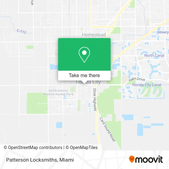
See Patterson Locksmiths, Homestead, on the map
Public Transit to Patterson Locksmiths in Homestead
Wondering how to get to Patterson Locksmiths in Homestead? Moovit helps you find the best way to get to Patterson Locksmiths with step-by-step directions from the nearest public transit station.
Moovit provides free maps and live directions to help you navigate through your city. View schedules, routes, timetables, and find out how long does it take to get to Patterson Locksmiths in real time.
Looking for the nearest stop or station to Patterson Locksmiths? Check out this list of stops closest to your destination: W Palm Dr @ 3 Ave; Sw 344 St Park-And-Ride.
Bus: 35, 601, 602, 70, 301, 302, 344.
Want to see if there’s another route that gets you there at an earlier time? Moovit helps you find alternative routes or times. Get directions from and directions to Patterson Locksmiths easily from the Moovit App or Website.
We make riding to Patterson Locksmiths easy, which is why over 1.5 million users, including users in Homestead, trust Moovit as the best app for public transit. You don’t need to download an individual bus app or train app, Moovit is your all-in-one transit app that helps you find the best bus time or train time available.
For information on prices of bus, costs and ride fares to Patterson Locksmiths, please check the Moovit app.
Use the app to navigate to popular places including to the airport, hospital, stadium, grocery store, mall, coffee shop, school, college, and university.
Patterson Locksmiths Address: 316 SW 344th St Homestead, FL 33034 street in Homestead
- Djie's Lee Hair and Nails Care,
- Are Remodeling & Plumbing,
- Southstate Bank,
- Biz Digital Marketing,
- Fine Kitchen Work,
- Angel Touch,
- Okana Gigi,
- Ronald Sgeturite Multi Services,
- J&A Electronics,
- Sandoval Brothers Services,
- 99 Solutions,
- DJM Prototype Cleaning Services,
- Da Munchiezz Catering,
- Morpheus Group,
- Florida City,
- Ace Academy,
- W Palm Dr & 3 Av,
- PFS Group, Inc.,
- Joujou Caribbean Take 0ut,
- Pure Royalty Barbershop
Places Near Patterson Locksmiths (Homestead)
- Port of Miami Cruise Terminal, Miami,
- Sawgrass Mall, Miami,
- Miami VA Hospital, Miami,
- Brickell City Centre, Miami,
- Miami Freedom Park, Miami,
- Aventura Mall, Miami Beach,
- Wynwood, Miami,
- Dolphin Mall Bus, Miami,
- Bayside Marketplace, Miami,
- Sawgrass mall ( FL ), Miami Beach,
- Hard Rock Stadium, Miami Gardens,
- Little Havana, Miami,
- Zoo Miami, Miami,
- Richard E. Gerstein Justice Building, Miami,
- Keiser University Flagship Campus, West Palm Beach,
- Miami-Dade County Courthouse, Miami,
- Miami Design District, Miami,
- Aventura Mall, Miami,
- Dolphin Mall, Miami,
- Marlins Park, Miami
How to get to popular places in Miami with public transit
Get around Homestead by public transit!
Traveling around Homestead has never been so easy. See step by step directions as you travel to any attraction, street or major public transit station. View bus and train schedules, arrival times, service alerts and detailed routes on a map, so you know exactly how to get to anywhere in Homestead.
When traveling to any destination around Homestead use Moovit's Live Directions with Get Off Notifications to know exactly where and how far to walk, how long to wait for your line, and how many stops are left. Moovit will alert you when it's time to get off — no need to constantly re-check whether yours is the next stop.
Wondering how to use public transit in Homestead or how to pay for public transit in Homestead? Moovit public transit app can help you navigate your way with public transit easily, and at minimum cost. It includes public transit fees, ticket prices, and costs. Looking for a map of Homestead public transit lines? Moovit public transit app shows all public transit maps in Homestead with all Bus, Train, Light Rail and Ferry routes and stops on an interactive map.
Miami has 4 transit type(s), including: Bus, Train, Light Rail and Ferry, operated by several transit agencies, including Broward County Transit, Miami-Dade Transit, Metrorail, Palm Tran, Tri-Rail, Brightline, MARTY, City of Homestead Trolley, Key West Transit, Treasure Coast Connector, GoLine IRT, Amtrak, Greyhound-us, FlixBus-us and Aventura Express Shuttle Bus