Directions to Peerless Auto Lounge (Prince George's County) with public transportation
The following transit lines have routes that pass near Peerless Auto Lounge
 Bus: P95.
How to get to Peerless Auto Lounge by bus?
Click on the bus route to see step by step directions with maps, line arrival times and updated time schedules.
From Alexandria, VA, Alexandria
91 minFrom Navy Lodge, Washington
63 minFrom Springhill Suites Alexandria Old Town/Southwest, Alexandria
93 minFrom I-295 Exit 1 - Naval Research Lab, Washington
60 minFrom Joint Base Andrews, Prince George's County
58 minFrom Inova Mount Vernon Hospital, Fairfax County
122 minFrom Andrews Air Force Base, Prince George's County
54 minFrom THEARC, Washington
72 minFrom Del Ray, Alexandria
92 min
Bus stop near Peerless Auto Lounge in Prince George's County
- Allentown Rd + Poling Ave, 11 min walk,VIEW
Bus lines to Peerless Auto Lounge in Prince George's County
- P95, Allentown Rd + Old Fort Rd,VIEW
What are the closest stations to Peerless Auto Lounge?
The closest stations to Peerless Auto Lounge are:
- Allentown Rd + Poling Ave is 880 yards away, 11 min walk.
Which bus line stops near Peerless Auto Lounge?
P95 (Allentown Rd + Old Fort Rd)
What’s the nearest bus station to Peerless Auto Lounge in Prince George's County?
The nearest bus station to Peerless Auto Lounge in Prince George's County is Allentown Rd + Poling Ave. It’s a 11 min walk away.
What time is the first bus to Peerless Auto Lounge in Prince George's County?
The P95 is the first bus that goes to Peerless Auto Lounge in Prince George's County. It stops nearby at 5:39 AM.
What time is the last bus to Peerless Auto Lounge in Prince George's County?
The P95 is the last bus that goes to Peerless Auto Lounge in Prince George's County. It stops nearby at 7:41 PM.
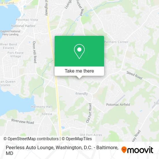
See Peerless Auto Lounge, Prince George's County, on the map
Public Transit to Peerless Auto Lounge in Prince George's County
Wondering how to get to Peerless Auto Lounge in Prince George's County? Moovit helps you find the best way to get to Peerless Auto Lounge with step-by-step directions from the nearest public transit station.
Moovit provides free maps and live directions to help you navigate through your city. View schedules, routes, timetables, and find out how long does it take to get to Peerless Auto Lounge in real time.
Looking for the nearest stop or station to Peerless Auto Lounge? Check out this list of stops closest to your destination: Allentown Rd + Poling Ave.
Bus: P95.
Want to see if there’s another route that gets you there at an earlier time? Moovit helps you find alternative routes or times. Get directions from and directions to Peerless Auto Lounge easily from the Moovit App or Website.
We make riding to Peerless Auto Lounge easy, which is why over 1.5 million users, including users in Prince George's County, trust Moovit as the best app for public transit. You don’t need to download an individual bus app or train app, Moovit is your all-in-one transit app that helps you find the best bus time or train time available.
For information on prices of bus, costs and ride fares to Peerless Auto Lounge, please check the Moovit app.
Use the app to navigate to popular places including to the airport, hospital, stadium, grocery store, mall, coffee shop, school, college, and university.
Peerless Auto Lounge Address: Portland Ave Fort Washington, MD 20744 street in Prince George's County
- Markeece Enterprise,
- Friendly, Maryland,
- Monsserrat Contractors,
- GRT Construction,
- Arielle Skye Makeup Studio,
- BB & H Holdings,
- Deliverance Freewill Baptist Church,
- Fort Washington, MD,
- Friendly High,
- Winborne,
- Nations Uniform Company,
- Tender Dental Care,
- Kinesio Taping Physical Therapy,
- MD Lot Speedy Mart T1,
- Old Fort Farms,
- Coinstar - Bitcoin ATM,
- Life Changing Christian Center,
- Dat-Guy,
- Kentucky Fried Chicken,
- TACO BELL
Places Near Peerless Auto Lounge (Prince George's County)
- Sibley Memorial Hospital, Washington,
- Camden Yards, Baltimore,
- Amazon Hq2, Arlington County,
- M&T Bank Stadium, Baltimore,
- Marriott Marquis Washington, DC, Washington,
- Museum Of The Bible, Washington,
- Warner Theatre, Washington,
- Washington DC VA Medical Center, Washington,
- Westfield Montgomery Mall, Montgomery County,
- Pennsylvania Ave NW (3rd st and pennsylvania), Washington,
- Basilica of the National Shrine, Washington,
- National Zoo, Washington,
- PG Mall, Prince George's County,
- Washington National Cathedral, Washington,
- Capital One Arena, Washington,
- National Mall, Washington,
- National Museum of African American History and Culture, Washington,
- The Anthem, Washington,
- Rock Creek Tennis Center, Washington,
- Georgetown, Washington
How to get to popular places in Washington, D.C. - Baltimore, MD with public transit
Get around Prince George's County by public transit!
Traveling around Prince George's County has never been so easy. See step by step directions as you travel to any attraction, street or major public transit station. View bus and train schedules, arrival times, service alerts and detailed routes on a map, so you know exactly how to get to anywhere in Prince George's County.
When traveling to any destination around Prince George's County use Moovit's Live Directions with Get Off Notifications to know exactly where and how far to walk, how long to wait for your line, and how many stops are left. Moovit will alert you when it's time to get off — no need to constantly re-check whether yours is the next stop.
Wondering how to use public transit in Prince George's County or how to pay for public transit in Prince George's County? Moovit public transit app can help you navigate your way with public transit easily, and at minimum cost. It includes public transit fees, ticket prices, and costs. Looking for a map of Prince George's County public transit lines? Moovit public transit app shows all public transit maps in Prince George's County with all Bus, Train, Metro, Light Rail and Ferry routes and stops on an interactive map.
Washington, D.C. - Baltimore, MD has 5 transit type(s), including: Bus, Train, Metro, Light Rail and Ferry, operated by several transit agencies, including WMATA, Montgomery County Ride On, Fairfax Connector, TheBus, PRTC, DASH - Alexandria, Arlington Transit (ART), RTA of Central Maryland, MDOT MTA, MDOT MTA Light RailLink, MDOT MTA Commuter Bus, MDOT MTA Local Bus, FXBGO!, Virginia Railway Express (VRE) and MARC