How to get to Perfection by bus?
Click on the bus route to see step by step directions with maps, line arrival times and updated time schedules.
From Santuario del Divino Niño Jesus, Aguascalientes
49 minFrom IDEA, Aguascalientes
32 minFrom Fraccionamiento Fundadores, Aguascalientes
57 minFrom La Santa Niña, Aguascalientes
51 minFrom Jesús María, Aguascalientes
42 minFrom Canchas de futbol Cruz Azul, Aguascalientes
74 minFrom Fracc. Morelos II, Aguascalientes
46 minFrom Mujeres Ilustres, Aguascalientes
56 minFrom Ruta 7, Aguascalientes
48 minFrom Palo Alto, Aguascalientes
35 min
Bus stops near Perfection in Aguascalientes
Bus lines to Perfection in Aguascalientes
What are the closest stations to Perfection?
The closest stations to Perfection are:
- Boulevard Luis Donaldo Colosio Murrieta, 1722(722) is 149 meters away, 3 min walk.
- Avenida Aguascalientes Norte, 309 is 346 meters away, 5 min walk.
- Avenida Independencia, 1912-1918 is 652 meters away, 9 min walk.
- Avenida Aguascalientes Norte, 402 is 668 meters away, 9 min walk.
Which bus lines stop near Perfection?
These bus lines stop near Perfection: RUTA 06, RUTA 10, RUTA 18, RUTA 35, RUTA 40.
What’s the nearest bus station to Perfection in Aguascalientes?
The nearest bus station to Perfection in Aguascalientes is Boulevard Luis Donaldo Colosio Murrieta, 1722(722). It’s a 3 min walk away.
What time is the first bus to Perfection in Aguascalientes?
The RUTA 40 is the first bus that goes to Perfection in Aguascalientes. It stops nearby at 6:02 AM.
What time is the last bus to Perfection in Aguascalientes?
The RUTA 10 is the last bus that goes to Perfection in Aguascalientes. It stops nearby at 10:13 PM.
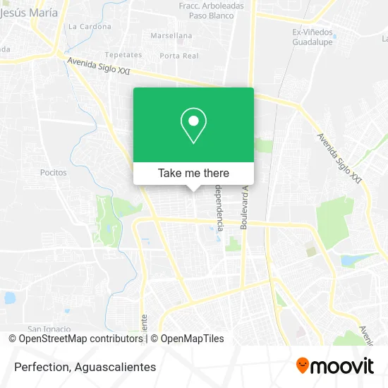
See Perfection, Aguascalientes, on the map
Public Transit to Perfection in Aguascalientes
Wondering how to get to Perfection in Aguascalientes? Moovit helps you find the best way to get to Perfection with step-by-step directions from the nearest public transit station.
Moovit provides free maps and live directions to help you navigate through your city. View schedules, routes, timetables, and find out how long does it take to get to Perfection in real time.
Looking for the nearest stop or station to Perfection? Check out this list of stops closest to your destination: Boulevard Luis Donaldo Colosio Murrieta; Avenida Aguascalientes Norte; Avenida Independencia; Avenida Aguascalientes Norte.
Bus: RUTA 06, RUTA 10, RUTA 18, RUTA 35, RUTA 40, RUTA 45, RUTA 30.
Want to see if there’s another route that gets you there at an earlier time? Moovit helps you find alternative routes or times. Get directions from and directions to Perfection easily from the Moovit App or Website.
We make riding to Perfection easy, which is why over 1.5 million users, including users in Aguascalientes, trust Moovit as the best app for public transit. You don’t need to download an individual bus app or train app, Moovit is your all-in-one transit app that helps you find the best bus time or train time available.
For information on prices of bus, costs and ride fares to Perfection, please check the Moovit app.
Use the app to navigate to popular places including to the airport, hospital, stadium, grocery store, mall, coffee shop, school, college, and university.
Perfection Address: Prolongación General Ignacio Zaragoza 121, Fracc Jardines de la Concepcion II, 20120 Aguascalientes street in Aguascalientes
- Spatucan - Veterinaria Aguascalientes,
- Blossom Boutique,
- Sistemas de Alarmas del Centro,
- Pasteleria Camen repostería,
- Comida Norteamericana Dylans,
- Ely González Fotografa & Maquillista,
- Notaría Publica 15,
- Mundo Helado,
- Victoria's Secret,
- Puerta del Mar,
- Dogi,
- Hip & Sweet,
- Plaza Las Pergolas,
- Neurokids Programas de Estimulación Neurológica,
- Turismo La Gran Vía,
- Selfie,
- Premier Sneaker Gallery,
- Eventos La Marquesa,
- Om Sole,
- Forza Corporativo Juridico
Places Near Perfection (Aguascalientes)
- Aeropuerto de Aguascalientes S.A. de C.V., Aguascalientes,
- Parque Las Tres Centurias, Aguascalientes,
- La Isla San Marcos, Aguascalientes,
- Villasuncion, Aguascalientes,
- Hospital Imss No. 3, Aguascalientes,
- Villas de Nuestra Señora de la Asunción, Aguascalientes,
- clinica 3 uaa, Aguascalientes,
- Centro, Aguascalientes,
- Isla San Marcos, Aguascalientes,
- Imss Clinica 1, Aguascalientes,
- Centro Comercial Altaria, Aguascalientes,
- Ciudad industrial, Aguascalientes,
- ESPACIOS, Aguascalientes,
- Universidad Autónoma de Aguascalientes, Aguascalientes,
- Jesús María, Aguascalientes,
- Blvd. Luis Donaldo Colosio, Aguascalientes,
- Nuevo Hospital Hidalgo, Aguascalientes,
- Terminal De Combis, Aguascalientes,
- Central De Autobuses, Aguascalientes,
- Agropecuario, Aguascalientes
How to get to popular places in Aguascalientes with public transit
Get around Aguascalientes by public transit!
Traveling around Aguascalientes has never been so easy. See step by step directions as you travel to any attraction, street or major public transit station. View bus and train schedules, arrival times, service alerts and detailed routes on a map, so you know exactly how to get to anywhere in Aguascalientes.
When traveling to any destination around Aguascalientes use Moovit's Live Directions with Get Off Notifications to know exactly where and how far to walk, how long to wait for your line, and how many stops are left. Moovit will alert you when it's time to get off — no need to constantly re-check whether yours is the next stop.
Wondering how to use public transit in Aguascalientes or how to pay for public transit in Aguascalientes? Moovit public transit app can help you navigate your way with public transit easily, and at minimum cost. It includes public transit fees, ticket prices, and costs. Looking for a map of Aguascalientes public transit lines? Moovit public transit app shows all public transit maps in Aguascalientes with all bus routes and stops on an interactive map.
Aguascalientes has 1 transit type(s), including: bus, operated by several transit agencies, including Coordinación General de Movilidad