How to get to Permanent Makeup by Haylee by bus?
Click on the bus route to see step by step directions with maps, line arrival times and updated time schedules.
From Springfield, VA, Fairfax County
45 minFrom Navy Federal Credit Union, Fairfax County
72 minFrom Falls Church, VA, Falls Church
60 minFrom Burke, VA, Fairfax County
82 minFrom Inova Fair Oaks Hospital, Fairfax County
79 minFrom Tysons Galleria, Fairfax County
47 minFrom Leesburg VA-684, Fairfax County
72 minFrom Fairfax County Government Center, Fairfax County
46 minFrom Walmart, Fairfax County
77 min
Bus stops near Permanent Makeup by Haylee in Fairfax
Metro station near Permanent Makeup by Haylee in Fairfax
- Vienna Metro Station, 7 min walk,VIEW
Bus lines to Permanent Makeup by Haylee in Fairfax
What are the closest stations to Permanent Makeup by Haylee?
The closest stations to Permanent Makeup by Haylee are:
- Pickett Rd at Turnpike Shopping Center is 329 yards away, 4 min walk.
- Pickett Rd+#3900 is 427 yards away, 5 min walk.
- Vienna Metro Station is 562 yards away, 7 min walk.
- Main St at Whitacre Rd is 945 yards away, 11 min walk.
Which bus lines stop near Permanent Makeup by Haylee?
These bus lines stop near Permanent Makeup by Haylee: F23, GREEN 1.
What’s the nearest metro station to Permanent Makeup by Haylee in Fairfax?
The nearest metro station to Permanent Makeup by Haylee in Fairfax is Vienna Metro Station. It’s a 7 min walk away.
What’s the nearest bus station to Permanent Makeup by Haylee in Fairfax?
The nearest bus station to Permanent Makeup by Haylee in Fairfax is Pickett Rd at Turnpike Shopping Center. It’s a 4 min walk away.
What time is the first metro to Permanent Makeup by Haylee in Fairfax?
The ORANGE is the first metro that goes to Permanent Makeup by Haylee in Fairfax. It stops nearby at 5:00 AM.
What time is the last metro to Permanent Makeup by Haylee in Fairfax?
The ORANGE is the last metro that goes to Permanent Makeup by Haylee in Fairfax. It stops nearby at 12:32 AM.
What time is the first bus to Permanent Makeup by Haylee in Fairfax?
The F23 is the first bus that goes to Permanent Makeup by Haylee in Fairfax. It stops nearby at 5:31 AM.
What time is the last bus to Permanent Makeup by Haylee in Fairfax?
The F24 is the last bus that goes to Permanent Makeup by Haylee in Fairfax. It stops nearby at 10:57 PM.
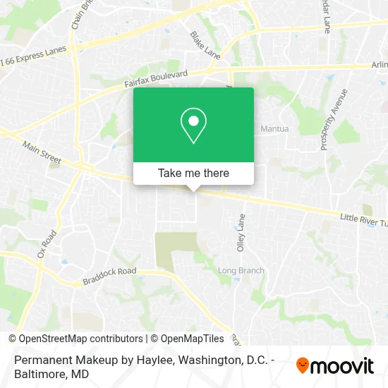
See Permanent Makeup by Haylee, Fairfax, on the map
Public Transit to Permanent Makeup by Haylee in Fairfax
Wondering how to get to Permanent Makeup by Haylee in Fairfax? Moovit helps you find the best way to get to Permanent Makeup by Haylee with step-by-step directions from the nearest public transit station.
Moovit provides free maps and live directions to help you navigate through your city. View schedules, routes, timetables, and find out how long does it take to get to Permanent Makeup by Haylee in real time.
Looking for the nearest stop or station to Permanent Makeup by Haylee? Check out this list of stops closest to your destination: Pickett Rd at Turnpike Shopping Center; Pickett Rd+#3900; Vienna Metro Station; Main St at Whitacre Rd.
Bus: F23, GREEN 1, F24, GREEN 2.Metro: ORANGE.
Want to see if there’s another route that gets you there at an earlier time? Moovit helps you find alternative routes or times. Get directions from and directions to Permanent Makeup by Haylee easily from the Moovit App or Website.
We make riding to Permanent Makeup by Haylee easy, which is why over 1.7 million users, including users in Fairfax, trust Moovit as the best app for public transit. You don’t need to download an individual bus app or train app, Moovit is your all-in-one transit app that helps you find the best bus time or train time available.
For information on prices of bus and metro, costs and ride fares to Permanent Makeup by Haylee, please check the Moovit app.
Use the app to navigate to popular places including to the airport, hospital, stadium, grocery store, mall, coffee shop, school, college, and university.
Permanent Makeup by Haylee Address: 9667 Main St street in Fairfax
- Fairfax VA,
- Woodson High School,
- W. T. Woodson High School,
- Fair City Mall,
- Five Below,
- Amazon Locker-Steffen,
- Cinema Arts Theatre,
- Dollar Tree,
- Milk & Honey Southern Inspired Kitchen,
- Dick's Sporting Goods,
- Trader Joe's,
- Inova-Gohealth Urgent Care,
- Fairfax Ice Arena,
- King's Dominion,
- Fairfax Memorial Park,
- Woodleigh Chase,
- Paul VI Catholic High School,
- John J Coscia Construction,
- Army-Navy Country Club (FFX),
- The New School of Northern Virginia
Places Near Permanent Makeup by Haylee (Fairfax)
- Marriott Marquis Washington, DC, Washington,
- Rock Creek Tennis Center, Washington,
- Westfield Montgomery Mall, Montgomery County,
- National Theatre, Washington,
- Amazon Hq2, Arlington County,
- M&T Bank Stadium, Baltimore,
- Basilica of the National Shrine, Washington,
- Warner Theatre, Washington,
- National Museum of African American History and Culture, Washington,
- Washington National Cathedral, Washington,
- Camden Yards, Baltimore,
- Museum Of The Bible, Washington,
- Washington DC VA Medical Center, Washington,
- The Anthem, Washington,
- Capital One Arena, Washington,
- Sibley Memorial Hospital, Washington,
- Georgetown, Washington,
- National Zoo, Washington,
- Pennsylvania Ave NW (3rd st and pennsylvania), Washington,
- PG Mall, Prince George's County
How to get to popular places in Washington, D.C. - Baltimore, MD with public transit
Get around Fairfax by public transit!
Traveling around Fairfax has never been so easy. See step by step directions as you travel to any attraction, street or major public transit station. View bus and train schedules, arrival times, service alerts and detailed routes on a map, so you know exactly how to get to anywhere in Fairfax.
When traveling to any destination around Fairfax use Moovit's Live Directions with Get Off Notifications to know exactly where and how far to walk, how long to wait for your line, and how many stops are left. Moovit will alert you when it's time to get off — no need to constantly re-check whether yours is the next stop.
Wondering how to use public transit in Fairfax or how to pay for public transit in Fairfax? Moovit public transit app can help you navigate your way with public transit easily, and at minimum cost. It includes public transit fees, ticket prices, and costs. Looking for a map of Fairfax public transit lines? Moovit public transit app shows all public transit maps in Fairfax with all Bus, Train, Metro, Light Rail and Ferry routes and stops on an interactive map.
Washington, D.C. - Baltimore, MD has 5 transit type(s), including: Bus, Train, Metro, Light Rail and Ferry, operated by several transit agencies, including WMATA, Montgomery County Ride On, Fairfax Connector, TheBus, PRTC, DASH - Alexandria, Arlington Transit (ART), RTA of Central Maryland, MDOT MTA, MDOT MTA Light RailLink, MDOT MTA Commuter Bus, MDOT MTA Local Bus, FXBGO!, Virginia Railway Express (VRE) and MARC