Pershing Square Station - Tuesday schedule
| Line | Direction | Time |
|---|---|---|
| K LINE | Southbound to Redondo Beach | 4:33 AM |
| K LINE | Southbound to Redondo Beach | 4:42 AM |
| K LINE | Northbound to Jefferson Park | 4:47 AM |
| K LINE | Southbound to Redondo Beach | 4:52 AM |
| K LINE | Northbound to Jefferson Park | 4:59 AM |
| K LINE | Southbound to Redondo Beach | 5:02 AM |
| K LINE | Northbound to Jefferson Park | 5:07 AM |
| K LINE | Southbound to Redondo Beach | 5:08 AM |
| K LINE | Southbound to Redondo Beach | 5:15 AM |
| K LINE | Northbound to Jefferson Park | 5:17 AM |
| K LINE | Southbound to Redondo Beach | 5:22 AM |
| K LINE | Northbound to Jefferson Park | 5:26 AM |
| K LINE | Southbound to Redondo Beach | 5:32 AM |
| K LINE | Northbound to Jefferson Park | 5:35 AM |
| K LINE | Southbound to Redondo Beach | 5:42 AM |
| K LINE | Northbound to Jefferson Park | 5:44 AM |
| K LINE | Southbound to Redondo Beach | 5:50 AM |
| K LINE | Northbound to Jefferson Park | 5:53 AM |
| K LINE | Southbound to Redondo Beach | 5:55 AM |
| K LINE | Southbound to Redondo Beach | 6:00 AM |
| K LINE | Northbound to Jefferson Park | 6:02 AM |
| K LINE | Southbound to Redondo Beach | 6:05 AM |
| K LINE | Southbound to Redondo Beach | 6:10 AM |
| K LINE | Northbound to Jefferson Park | 6:13 AM |
| K LINE | Southbound to Redondo Beach | 6:15 AM |
Directions to Pershing Square Station (Downtown) with public transportation
The following transit lines have routes that pass near Pershing Square Station
 Bus: 10/48, 4, 60, 720, EL MONTE - HARBOR GATEWAY/SAN PEDRO.
- Subway: B LINE, D LINE, A LINE, E LINE.
- Funicular: ANGELS FLIGHT.
How to get to Pershing Square Station by bus?
Click on the bus route to see step by step directions with maps, line arrival times and updated time schedules.
How to get to Pershing Square Station by subway?
Click on the subway route to see step by step directions with maps, line arrival times and updated time schedules.
Bus stops near Pershing Square Station in Downtown
- Olive / 5th, 2 min walk,
- 5th-Broadway, 2 min walk,
- Broadway / 5th, 2 min walk,
- 5th / Hill, 2 min walk,
- Hill / 6th, 3 min walk,
- Olive St and 5th St E, 3 min walk,
- Broadway / 6th, 3 min walk,
- Hill / 5th, 3 min walk,
- 6th / Hill, 4 min walk,
Subway station near Pershing Square Station in Downtown
- 7th Street / Metro Center, 6 min walk,
Funicular station near Pershing Square Station in Downtown
- Angels Flight Top Station, 26 min walk,
Bus lines to Pershing Square Station in Downtown
- EL MONTE - HARBOR GATEWAY/SAN PEDRO, 950 - El Monte Station - Downtown La,
- 14/37, Beverly - Western,
- 487/489, Temple City,
- 20, Downtown La - 6th - Main,
- 55, Willowbrook / Rosa Parks Station,
- 720, Santa Monica (Rapid),
- 4X, Downtown L.A. Union Station,
- 40, 40 Beverly Blvd,
- 90, 90 Mbl Express,
- 70, El Monte Station,
- 76, El Monte Station,
- 78, Las Tunas - Live Oak,
- 4, Downtown La - Broadway - Venice,
- 45, Lincoln Heights,
- 50, Washington Blv,
- 16, Downtown LA - West Hollywood,
- 18, Wilshire Western STA-Montebello,
- 53, Downtown LA - Csu Domiguez Hills,
- 60, Downtown LA - Artesia Station -,
- 62, Downtown LA - Hawaiian Gardens,
What are the closest stations to Pershing Square Station?
The closest stations to Pershing Square Station are:
- Olive / 5th stop is 108 yards away, 2 min walk.
- 5th-Broadway stop is 121 yards away, 2 min walk.
- Broadway / 5th stop is 131 yards away, 2 min walk.
- 5th / Hill stop is 166 yards away, 2 min walk.
- Hill / 6th stop is 206 yards away, 3 min walk.
- Olive St and 5th St E stop is 223 yards away, 3 min walk.
- Broadway / 6th stop is 243 yards away, 3 min walk.
- Hill / 5th stop is 253 yards away, 3 min walk.
- 6th / Hill stop is 294 yards away, 4 min walk.
- 7th Street / Metro Center station is 484 yards away, 6 min walk.
- Angels Flight Top Station is 2194 yards away, 26 min walk.
Which bus lines stop near Pershing Square Station?
These bus lines stop near Pershing Square Station: 10/48, 4, 60, 720.
Which subway lines stop near Pershing Square Station?
These subway lines stop near Pershing Square Station: B LINE, D LINE.
What’s the nearest subway station to Pershing Square Station in Downtown?
The nearest subway station to Pershing Square Station in Downtown is 7th Street / Metro Center. It’s a 6 min walk away.
What’s the nearest bus station to Pershing Square Station in Downtown?
The nearest bus stations to Pershing Square Station in Downtown are Olive / 5th, 5th-Broadway, Broadway / 5th and 5th / Hill. The closest one is a 2 min walk away.
What’s the nearest funicular station to Pershing Square Station in Downtown?
The nearest funicular station to Pershing Square Station in Downtown is Angels Flight Top Station. It’s a 26 min walk away.
What time is the first subway to Pershing Square Station in Downtown?
The E LINE is the first subway that goes to Pershing Square Station in Downtown. It stops nearby at 3:54 AM.
What time is the last subway to Pershing Square Station in Downtown?
The A LINE is the last subway that goes to Pershing Square Station in Downtown. It stops nearby at 12:48 AM.
What time is the first bus to Pershing Square Station in Downtown?
The 18 is the first bus that goes to Pershing Square Station in Downtown. It stops nearby at 3:00 AM.
What time is the last bus to Pershing Square Station in Downtown?
The 4 is the last bus that goes to Pershing Square Station in Downtown. It stops nearby at 4:09 AM.
What time is the first funicular to Pershing Square Station in Downtown?
The ANGELS FLIGHT is the first funicular that goes to Pershing Square Station in Downtown. It stops nearby at 6:45 AM.
What time is the last funicular to Pershing Square Station in Downtown?
The ANGELS FLIGHT is the last funicular that goes to Pershing Square Station in Downtown. It stops nearby at 10:05 PM.
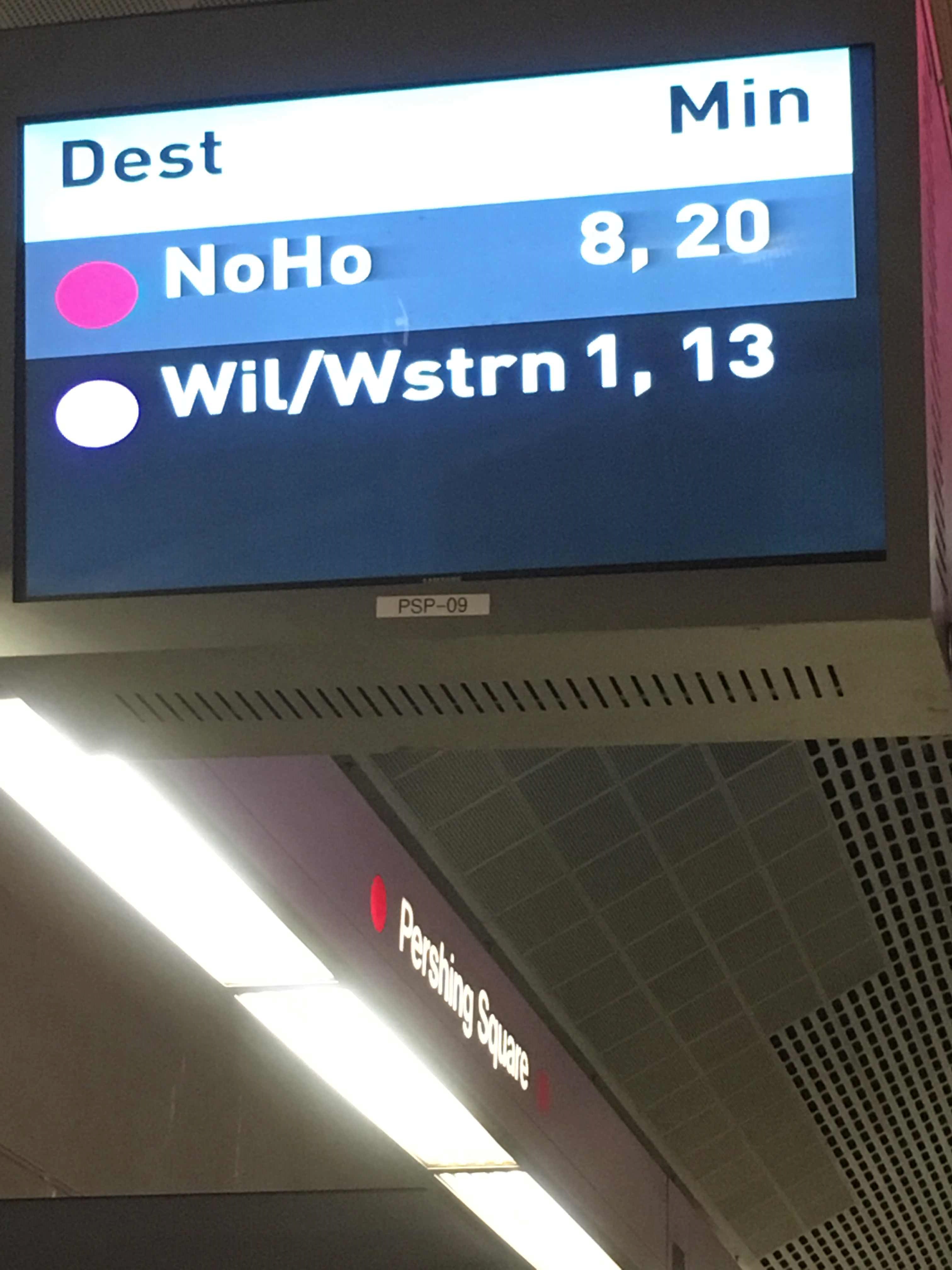
Pershing Square Station
 Taken by Anonymous
See Pershing Square Station, Downtown, on the map
Public transit to Pershing Square Station (ID: 80212) in Downtown
Looking for directions to Pershing Square Station in Downtown, United States?
Download the Moovit App to find the current schedule and step-by-step directions for Subway or Bus routes that pass through Pershing Square Station.
Looking for the nearest stops closest to Pershing Square Station ? Check out this list of closest stops to your destination: Olive / 5th; 5th-Broadway; Broadway / 5th; 5th / Hill; Hill / 6th; Olive St and 5th St E; Broadway / 6th; Hill / 5th; 6th / Hill; 7th Street / Metro Center; Angels Flight Top Station.
Bus: 10/48, 4, 60, 720, EL MONTE - HARBOR GATEWAY/SAN PEDRO, 14/37, 487/489, 20, 55, 4X, 40, 90, 70, 76, 45.Subway: B LINE, D LINE, A LINE, E LINE.Funicular: ANGELS FLIGHT.
We make riding on public transit to Pershing Square Station easy, which is why over 1.7 billion users, including users in Downtown trust Moovit as the best app for public transit.
Use the app to navigate to popular places including to the airport, hospital, stadium, grocery store, mall, coffee shop, school, college, and university.
The station has the following entrances: Pershing Square Station - Hill &Amp; 5th Elevator, Pershing Square Station - Hill &Amp; 4th NE Entrance and Pershing Square Station - Hill &Amp; 5th Entrance
Pershing Square Station’s code is 80212
The first line to this station is K LINE, at 4:33 AM, and the last line is K LINE at 4:14 AM.
This station serves Metro’s lines
Popular routes from Pershing Square Station, Downtown
- Olive / 5th,
- 5th-Broadway,
- Broadway / 5th,
- 5th / Hill,
- Hill / 6th,
- Olive St and 5th St E,
- Broadway / 6th,
- Hill / 5th,
- 6th / Hill
Bus stops near Pershing Square Station
- 7th Street / Metro Center
Subway station near Pershing Square Station
- Angels Flight Top Station
Funicular station near Pershing Square Station
- Fullerton Station,
- Valley View-Artesia,
- Plummer / Corbin,
- Santa Fe Ave & 3rd St (Southbound),
- Chevy Chase at Glendale,
- Magnolia / Whitsett,
- Slauson / Long Beach,
- Vanowen / Balboa,
- Valley View Ave & Imperial Hwy,
- Fullerton Park and Ride Dock6,
- Beach / Artesia,
- Century Blvd & Doty Ave,
- Brand / Chevy Chase,
- Figueroa St at Redondo Beach Bl,
- Downtown Burbank,
- Figueroa St & Venice Blvd,
- Burbank / Van Nuys,
- Hollywood / Western Station,
- Arbor Vitae / Inglewood
Popular public transit stations in Downtown
Get around Downtown by public transit!
Traveling around Downtown has never been so easy. See step by step directions as you travel to any attraction, street or major public transit station. View bus and train schedules, arrival times, service alerts and detailed routes on a map, so you know exactly how to get to anywhere in Downtown.
When traveling to any destination around Downtown use Moovit's Live Directions with Get Off Notifications to know exactly where and how far to walk, how long to wait for your line, and how many stops are left. Moovit will alert you when it's time to get off — no need to constantly re-check whether yours is the next stop.
Wondering how to use public transit in Downtown or how to pay for public transit in Downtown? Moovit public transit app can help you navigate your way with public transit easily, and at minimum cost. It includes public transit fees, ticket prices, and costs. Looking for a map of Downtown public transit lines? Moovit public transit app shows all public transit maps in Downtown with all Bus, Train, Subway, Ferry and Funicular routes and stops on an interactive map.
Los Angeles has 5 transit type(s), including: Bus, Train, Subway, Ferry and Funicular, operated by several transit agencies, including Metro, Metro Event Service, Alhambra Community Transit (ACT), Arcadia Transit, Artesia Transit, AVTA, Baldwin Park Transit, Beach Cities Transit, Beaumont Transit, Bell Gardens Town Trolley, Bellflower Bus, Big Blue Bus, Burbank Bus, Calabasas Trolley and Camarillo Area Transit