How to get to Peter Chang by bus?
Click on the bus route to see step by step directions with maps, line arrival times and updated time schedules.
From Lorton, VA - Amtrak Auto Train Station (LOR), Fairfax County
227 minFrom Lorton, VA, Fairfax County
221 minFrom Potomac Mills Mall, Prince William County
212 minFrom Busch Gardens Williamsburg (Employee Parking Lot), James City County
153 minFrom Rose Gaming Resort, Prince William County
237 minFrom UVA Hospital Medical Center, Charlottesville
301 minFrom Woodbridge, VA, Prince William County
156 minFrom Amazon Fulfillment Center-Ric3, Richmond
66 min
Bus stops near Peter Chang in Richmond
Bus lines to Peter Chang in Richmond
What are the closest stations to Peter Chang?
The closest stations to Peter Chang are:
- Broad + Summit is 139 yards away, 2 min walk.
- Scotts Addition Eastbound Station is 165 yards away, 3 min walk.
- Broad + Boulevard is 202 yards away, 3 min walk.
Which bus lines stop near Peter Chang?
These bus lines stop near Peter Chang: 18, BRT.
What’s the nearest bus station to Peter Chang in Richmond?
The nearest bus station to Peter Chang in Richmond is Broad + Summit. It’s a 2 min walk away.
What time is the first bus to Peter Chang in Richmond?
The BRT is the first bus that goes to Peter Chang in Richmond. It stops nearby at 5:08 AM.
What time is the last bus to Peter Chang in Richmond?
The BRT is the last bus that goes to Peter Chang in Richmond. It stops nearby at 1:27 AM.
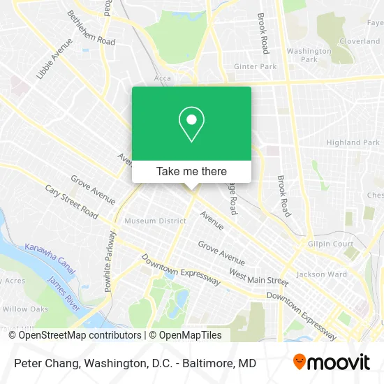
See Peter Chang, Richmond, on the map
Public Transit to Peter Chang in Richmond
Wondering how to get to Peter Chang in Richmond? Moovit helps you find the best way to get to Peter Chang with step-by-step directions from the nearest public transit station.
Moovit provides free maps and live directions to help you navigate through your city. View schedules, routes, timetables, and find out how long does it take to get to Peter Chang in real time.
Looking for the nearest stop or station to Peter Chang? Check out this list of stops closest to your destination: Broad + Summit; Scotts Addition Eastbound Station; Broad + Boulevard.
Bus: 18, BRT, 50, 20, 76.
Want to see if there’s another route that gets you there at an earlier time? Moovit helps you find alternative routes or times. Get directions from and directions to Peter Chang easily from the Moovit App or Website.
We make riding to Peter Chang easy, which is why over 1.5 million users, including users in Richmond, trust Moovit as the best app for public transit. You don’t need to download an individual bus app or train app, Moovit is your all-in-one transit app that helps you find the best bus time or train time available.
For information on prices of bus and train, costs and ride fares to Peter Chang, please check the Moovit app.
Use the app to navigate to popular places including to the airport, hospital, stadium, grocery store, mall, coffee shop, school, college, and university.
Peter Chang Address: 2816 W Broad St Richmond, VA 23230 street in Richmond
- Peter Chang Scott's Addition,
- Snipes Properties,
- Hofheimer,
- Hofheimer Building Event Venue,
- ASAP Locksmith of Richmond,
- Broad Street Auto Repair,
- Anniebell's Famous Oven Fried Chicken,
- Uncle Jim's Dress Blue BBQ,
- Maya Latin Kitchen,
- Pitsa - Scott's Addition Historic District,
- Eatbreakwich,
- African Inspired Cuisine,
- BonChon Chicken,
- Da'Best Damn Breakfast,
- Fat Boys Burgers & Fries,
- Pardon My Cheesesteak,
- Haitian Food Rva,
- Jacks Motor Cars,
- Jack's Tire Shop & Auto Repair,
- Sheltering Arms
Places Near Peter Chang (Richmond)
- Warner Theatre, Washington,
- Camden Yards, Baltimore,
- Westfield Montgomery Mall, Montgomery County,
- The Anthem, Washington,
- Amazon Hq2, Arlington County,
- National Mall, Washington,
- Capital One Arena, Washington,
- PG Mall, Prince George's County,
- Museum Of The Bible, Washington,
- Georgetown, Washington,
- Washington DC VA Medical Center, Washington,
- Washington National Cathedral, Washington,
- National Zoo, Washington,
- Basilica of the National Shrine, Washington,
- Rock Creek Tennis Center, Washington,
- M&T Bank Stadium, Baltimore,
- Pennsylvania Ave NW (3rd st and pennsylvania), Washington,
- Marriott Marquis Washington, DC, Washington,
- Sibley Memorial Hospital, Washington,
- National Museum of African American History and Culture, Washington
How to get to popular places in Washington, D.C. - Baltimore, MD with public transit
Get around Richmond by public transit!
Traveling around Richmond has never been so easy. See step by step directions as you travel to any attraction, street or major public transit station. View bus and train schedules, arrival times, service alerts and detailed routes on a map, so you know exactly how to get to anywhere in Richmond.
When traveling to any destination around Richmond use Moovit's Live Directions with Get Off Notifications to know exactly where and how far to walk, how long to wait for your line, and how many stops are left. Moovit will alert you when it's time to get off — no need to constantly re-check whether yours is the next stop.
Wondering how to use public transit in Richmond or how to pay for public transit in Richmond? Moovit public transit app can help you navigate your way with public transit easily, and at minimum cost. It includes public transit fees, ticket prices, and costs. Looking for a map of Richmond public transit lines? Moovit public transit app shows all public transit maps in Richmond with all Bus, Train, Metro, Light Rail and Ferry routes and stops on an interactive map.
Washington, D.C. - Baltimore, MD has 5 transit type(s), including: Bus, Train, Metro, Light Rail and Ferry, operated by several transit agencies, including WMATA, Montgomery County Ride On, Fairfax Connector, TheBus, PRTC, DASH - Alexandria, Arlington Transit (ART), RTA of Central Maryland, MDOT MTA, MDOT MTA Light RailLink, MDOT MTA Commuter Bus, MDOT MTA Local Bus, FXBGO!, Virginia Railway Express (VRE) and MARC