Petrocelli/Giannini stop - Saturday schedule
| Line | Direction | Time |
|---|---|---|
| 504 | Anagnina Metro | 5:55 AM |
| 504 | Anagnina Metro | 6:20 AM |
| 504 | Anagnina Metro | 6:45 AM |
| 504 | Anagnina Metro | 7:12 AM |
| 504 | Anagnina Metro | 7:37 AM |
| 504 | Anagnina Metro | 8:03 AM |
| 504 | Anagnina Metro | 8:28 AM |
| 504 | Anagnina Metro | 8:48 AM |
| 504 | Anagnina Metro | 9:06 AM |
| 504 | Anagnina Metro | 9:24 AM |
| 504 | Anagnina Metro | 9:42 AM |
| 504 | Anagnina Metro | 10:00 AM |
| 504 | Anagnina Metro | 10:18 AM |
| 504 | Anagnina Metro | 10:36 AM |
| 504 | Anagnina Metro | 10:54 AM |
| 504 | Anagnina Metro | 11:12 AM |
| 504 | Anagnina Metro | 11:30 AM |
| 504 | Anagnina Metro | 11:48 AM |
| 504 | Anagnina Metro | 12:06 PM |
| 504 | Anagnina Metro | 12:39 PM |
| 504 | Anagnina Metro | 1:08 PM |
| 504 | Anagnina Metro | 1:37 PM |
| 504 | Anagnina Metro | 2:06 PM |
| 504 | Anagnina Metro | 2:35 PM |
| 504 | Anagnina Metro | 3:04 PM |
Directions to Petrocelli/Giannini stop (Roma) with public transit
The following transit lines have routes that pass near Petrocelli/Giannini
 Bus: 047, 502, 504, 506, 509.
- Train: FL4.
- Metro: A, C.
How to get to Petrocelli/Giannini stop by bus?
Click on the bus route to see step by step directions with maps, line arrival times and updated time schedules.
How to get to Petrocelli/Giannini stop by metro?
Click on the metro route to see step by step directions with maps, line arrival times and updated time schedules.
Bus stops near Petrocelli/Giannini stop in Roma
- Tuscolana/Francavilla, 2 min walk,
- Tuscolana/Seven Miles Bridge, 5 min walk,
- Rome | Tuscolana St (La Romanina), 5 min walk,
- Seven Mile Bridge, 8 min walk,
Metro stations near Petrocelli/Giannini station in Roma
- Small Gardens, 29 min walk,
- Cinecittà, 39 min walk,
Train stations near Petrocelli/Giannini station in Roma
- Capannelle, 56 min walk,
Bus lines to Petrocelli/Giannini stop in Roma
- 047, Circolare sinistra | Anagnina (MA) - La Romanina - Tor Vergata - Anagnina (MA),
- 504, Circolare | Anagnina (MA) - Romanina (Centro Comm.) - Anagnina (MA),
- 506, Anagnina (Metro A) - Vermicino - Grotte Celoni (Metro C),
- 509, CNR - Tor Vergata - Anagnina (MA),
- 502, Cinecittà (MA) - Romanina,
- T01, Anagnina Metro,
- T02, Arco Di Travertino (Metro A),
- T10, Anagnina (MA) - Rimessa Tor Vergata,
- T20, Arco di Travertino (Metro A) - Tor Vergata Depot,
- COTRAL, Roma Anagnina - Colleferro Station,
- COTRAL, Roma Anagnina - Frascati,
- COTRAL, Roma Anagnina - Rocca Priora,
- COTRAL, Rocca Priora - Roma Anagnina,
- COTRAL, Rocca Di Papa - Roma Anagnina,
- COTRAL, Colleferro Scalo - Roma Anagnina,
- COTRAL, Frascati - Roma Anagnina,
- 046, Anagnina Metro,
What are the closest stations to Petrocelli/Giannini?
The closest stations to Petrocelli/Giannini are:
- Tuscolana/Francavilla stop is 97 meters away, 2 min walk.
- Tuscolana/Seven Miles Bridge stop is 347 meters away, 5 min walk.
- Rome | Tuscolana St (La Romanina) stop is 387 meters away, 5 min walk.
- Seven Mile Bridge stop is 564 meters away, 8 min walk.
- Small Gardens station is 2294 meters away, 29 min walk.
- Cinecittà station is 3033 meters away, 39 min walk.
- Capannelle station is 4435 meters away, 56 min walk.
Which bus lines stop near Petrocelli/Giannini?
These bus lines stop near Petrocelli/Giannini: 047, 502, 504.
Which metro line stops near Petrocelli/Giannini?
A (Anagnina)
What’s the nearest metro station to Petrocelli/Giannini in Roma?
The nearest metro station to Petrocelli/Giannini in Roma is Small Gardens. It’s a 29 min walk away.
What’s the nearest bus station to Petrocelli/Giannini in Roma?
The nearest bus station to Petrocelli/Giannini in Roma is Tuscolana/Francavilla. It’s a 2 min walk away.
What time is the first metro to Petrocelli/Giannini in Roma?
The A is the first metro that goes to Petrocelli/Giannini in Roma. It stops nearby at 5:30 AM.
What time is the last metro to Petrocelli/Giannini in Roma?
The A is the last metro that goes to Petrocelli/Giannini in Roma. It stops nearby at 12:12 AM.
What time is the first train to Petrocelli/Giannini in Roma?
The FL4 is the first train that goes to Petrocelli/Giannini in Roma. It stops nearby at 6:09 AM.
What time is the last train to Petrocelli/Giannini in Roma?
The FL4 is the last train that goes to Petrocelli/Giannini in Roma. It stops nearby at 10:22 PM.
What time is the first bus to Petrocelli/Giannini in Roma?
The T20 is the first bus that goes to Petrocelli/Giannini in Roma. It stops nearby at 3:51 AM.
What time is the last bus to Petrocelli/Giannini in Roma?
The T20 is the last bus that goes to Petrocelli/Giannini in Roma. It stops nearby at 2:55 AM.
Petrocelli/Giannini station
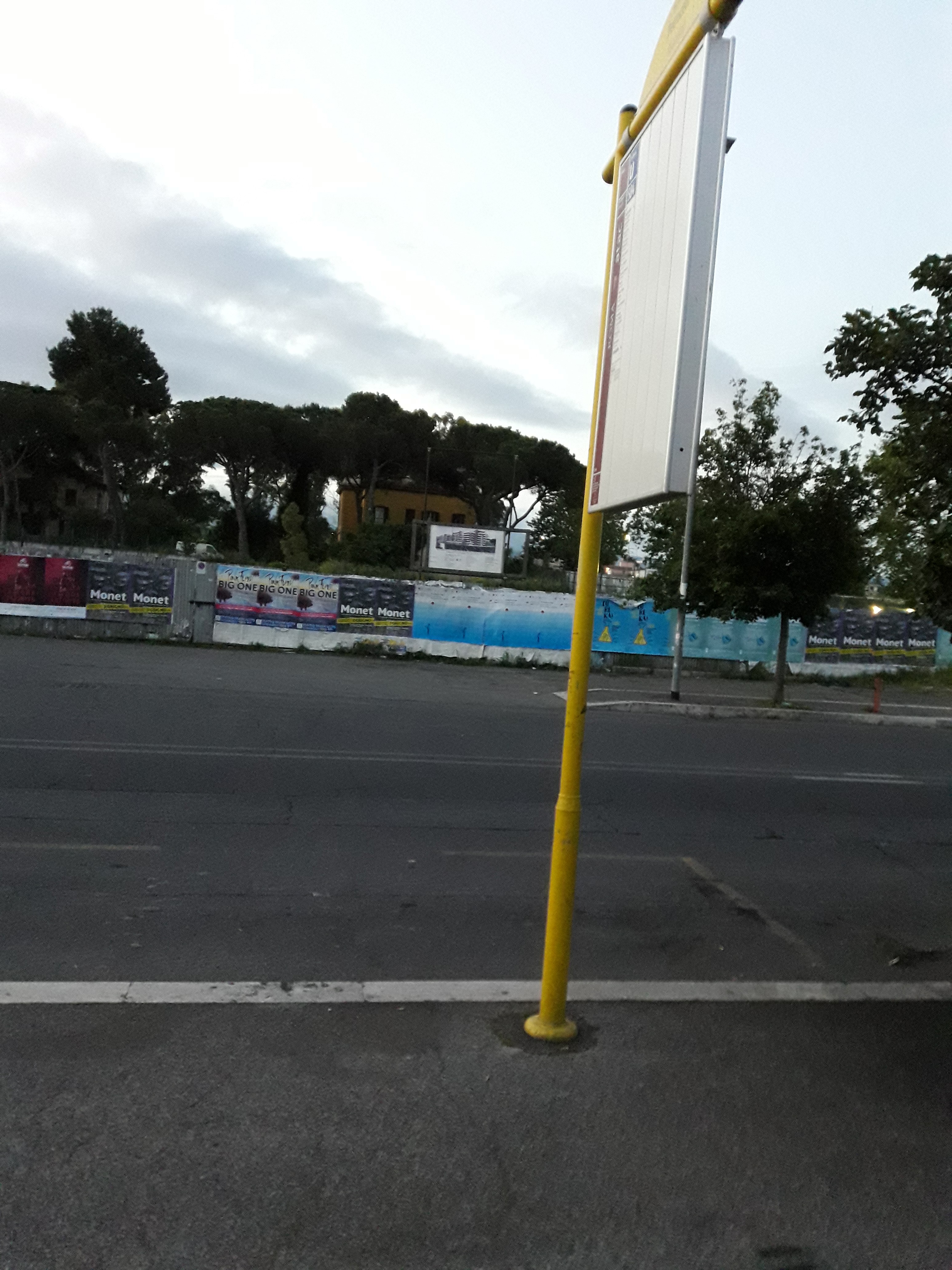 Taken by Anonymous
See Petrocelli/Giannini stop, Roma, on the map
Public transit to Petrocelli/Giannini stop (ID: 82495) in Roma
Looking for directions to Petrocelli/Giannini in Roma, Italy?
Download the Moovit App to find the current schedule and step-by-step directions for Bus or Metro routes that pass through Petrocelli/Giannini.
Looking for the nearest stops closest to Petrocelli/Giannini ? Check out this list of closest stops to your destination: Tuscolana/Francavilla; Tuscolana/Seven Miles Bridge; Rome | Tuscolana St (La Romanina); Seven Mile Bridge; Small Gardens; Cinecittà; Capannelle.
Bus: 047, 502, 504, 506, 509, T01, T02, T10, T20, COTRAL, COTRAL, COTRAL.Train: FL4.Metro: A, C.
We make riding on public transit to Petrocelli/Giannini easy, which is why over 1.7 billion users, including users in Roma trust Moovit as the best app for public transit.
Use the app to navigate to popular places including to the airport, hospital, stadium, grocery store, mall, coffee shop, school, college, and university.
Petrocelli/Giannini stop’s code is 82495
The first line to this stop is 504, at 5:55 AM, and the last line is 504 at 12:34 AM.
This stop serves ATAC’s lines
- Tuscolana/Francavilla,
- Tuscolana/Seven Miles Bridge,
- Rome | Tuscolana St (La Romanina),
- Seven Mile Bridge
Bus stops near Petrocelli/Giannini stop
- Small Gardens,
- Cinecittà
Metro stations near Petrocelli/Giannini station
- Capannelle
Train station near Petrocelli/Giannini station
- Catanzaro,
- Cesano Di Roma,
- Tiburtina/Tivoli,
- Muse,
- Saxa Rubra,
- La Rustica U.I.R.,
- Torre Argentina Street,
- Lungotevere Ripa/Ripense,
- Rinascimento,
- Rocca Di Papa,
- Tuscolana/Porta Furba,
- Subiaco Piazza Falcone,
- Fioranello/Appia,
- Largo Preneste,
- Senate,
- Villanova,
- Bufalotta/Albertazzi,
- North Beach,
- Monterotondo-Mentana,
- Trionfale/Scolopi
Popular public transit stations in Roma
Get around Roma by public transit!
Traveling around Roma has never been so easy. See step by step directions as you travel to any attraction, street or major public transit station. View bus and train schedules, arrival times, service alerts and detailed routes on a map, so you know exactly how to get to anywhere in Roma.
When traveling to any destination around Roma use Moovit's Live Directions with Get Off Notifications to know exactly where and how far to walk, how long to wait for your line, and how many stops are left. Moovit will alert you when it's time to get off — no need to constantly re-check whether yours is the next stop.
Wondering how to use public transit in Roma or how to pay for public transit in Roma? Moovit public transit app can help you navigate your way with public transit easily, and at minimum cost. It includes public transit fees, ticket prices, and costs. Looking for a map of Roma public transit lines? Moovit public transit app shows all public transit maps in Roma with all Bus, Train, Metro, Light Rail, Ferry, Funicular and Gondola routes and stops on an interactive map.
Rome and Lazio has 7 transit type(s), including: Bus, Train, Metro, Light Rail, Ferry, Funicular and Gondola, operated by several transit agencies, including ATAC, Cotral, Trenitalia, Troiani Transportation Services, BIS, ATR Mobility, Tuscia, Shuttle, Seatour, Troiani Bus Lines, CSC Mobility, Terravision, ATRAL, Tambus and Sitbus