How to get to Phoenix Windows and do by bus?
Click on the bus route to see step by step directions with maps, line arrival times and updated time schedules.
From Broward County, Fort Lauderdale
37 minFrom Broward College North Campus Bldg. 48, Pompano Beach
60 minFrom Tri-Rail-Pompano Beach Station, Pompano Beach
54 minFrom W Commercial Blvd & 441 (SR 7), Fort Lauderdale
61 minFrom Trapeze Swing Club, Fort Lauderdale
65 minFrom Riverwalk Fort Lauderdale, Inc., Fort Lauderdale
39 minFrom Las Olas, Fort Lauderdale
39 minFrom Cam Transfer, Coral Springs-Margate
51 minFrom Las Olas Boulevard, Fort Lauderdale
38 minFrom Walmart Supercenter, Pompano Beach
54 min
Bus stop near Phoenix Windows and do in Fort Lauderdale
- US 1/Imperial Point Hospital, 5 min walk,VIEW
Train station near Phoenix Windows and do in Fort Lauderdale
- Cypress Creek Station, 23 min walk,VIEW
Bus lines to Phoenix Windows and do in Fort Lauderdale
What are the closest stations to Phoenix Windows and do?
The closest stations to Phoenix Windows and do are:
- US 1/Imperial Point Hospital is 362 yards away, 5 min walk.
- Cypress Creek Station is 1946 yards away, 23 min walk.
Which bus lines stop near Phoenix Windows and do?
These bus lines stop near Phoenix Windows and do: 10, 62.
What’s the nearest train station to Phoenix Windows and do in Fort Lauderdale?
The nearest train station to Phoenix Windows and do in Fort Lauderdale is Cypress Creek Station. It’s a 23 min walk away.
What’s the nearest bus station to Phoenix Windows and do in Fort Lauderdale?
The nearest bus station to Phoenix Windows and do in Fort Lauderdale is US 1/Imperial Point Hospital. It’s a 5 min walk away.
What time is the first train to Phoenix Windows and do in Fort Lauderdale?
The TRIRAIL is the first train that goes to Phoenix Windows and do in Fort Lauderdale. It stops nearby at 4:38 AM.
What time is the last train to Phoenix Windows and do in Fort Lauderdale?
The TRIRAIL is the last train that goes to Phoenix Windows and do in Fort Lauderdale. It stops nearby at 10:43 PM.
What time is the first bus to Phoenix Windows and do in Fort Lauderdale?
The 62 is the first bus that goes to Phoenix Windows and do in Fort Lauderdale. It stops nearby at 5:17 AM.
What time is the last bus to Phoenix Windows and do in Fort Lauderdale?
The 10 is the last bus that goes to Phoenix Windows and do in Fort Lauderdale. It stops nearby at 11:45 PM.
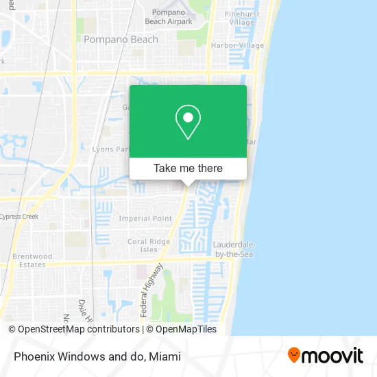
See Phoenix Windows and do, Fort Lauderdale, on the map
Public Transit to Phoenix Windows and do in Fort Lauderdale
Wondering how to get to Phoenix Windows and do in Fort Lauderdale? Moovit helps you find the best way to get to Phoenix Windows and do with step-by-step directions from the nearest public transit station.
Moovit provides free maps and live directions to help you navigate through your city. View schedules, routes, timetables, and find out how long does it take to get to Phoenix Windows and do in real time.
Looking for the nearest stop or station to Phoenix Windows and do? Check out this list of stops closest to your destination: US 1/Imperial Point Hospital; Cypress Creek Station.
Bus: 10, 62.Train: TRIRAIL.
Want to see if there’s another route that gets you there at an earlier time? Moovit helps you find alternative routes or times. Get directions from and directions to Phoenix Windows and do easily from the Moovit App or Website.
We make riding to Phoenix Windows and do easy, which is why over 1.5 million users, including users in Fort Lauderdale, trust Moovit as the best app for public transit. You don’t need to download an individual bus app or train app, Moovit is your all-in-one transit app that helps you find the best bus time or train time available.
For information on prices of bus, costs and ride fares to Phoenix Windows and do, please check the Moovit app.
Use the app to navigate to popular places including to the airport, hospital, stadium, grocery store, mall, coffee shop, school, college, and university.
Phoenix Windows and do Address: 6278 N Federal Hwy Fort Lauderdale, FL 33308 street in Fort Lauderdale
- First Call Surgical Services,
- Personal Care Guardianships,
- Hvac Sales & Services,
- Alpha Buildkraft,
- Destination Services Unlimited, Inc,
- Owners Agent,
- Mosa Properties,
- Maesk Counseling,
- International Association of US Government Contractors,
- L'Acqua Azzurra Pools,
- Liquid Heat,
- Help Me Mortgage LLC,
- Holliday Cleaners,
- Amazon Locker-Oven,
- Comedy Traffic School,
- Grilled Cheese Society,
- Promenade at Bay Colony,
- Top Locksmith Imperial Point Fl,
- Salon Rouge LL,
- Pokeice
Places Near Phoenix Windows and do (Fort Lauderdale)
- Bayside Marketplace, Miami,
- Marlins Park, Miami,
- Keiser University Flagship Campus, West Palm Beach,
- Sawgrass Mall, Miami,
- Aventura Mall, Miami,
- Miami-Dade County Courthouse, Miami,
- Zoo Miami, Miami,
- Aventura Mall, Miami Beach,
- Dolphin Mall, Miami,
- Dolphin Mall Bus, Miami,
- Wynwood, Miami,
- Little Havana, Miami,
- Richard E. Gerstein Justice Building, Miami,
- Port of Miami Cruise Terminal, Miami,
- Miami Freedom Park, Miami,
- Hard Rock Stadium, Miami Gardens,
- Miami VA Hospital, Miami,
- Miami Design District, Miami,
- Sawgrass mall ( FL ), Miami Beach,
- Brickell City Centre, Miami
How to get to popular places in Miami with public transit
Get around Fort Lauderdale by public transit!
Traveling around Fort Lauderdale has never been so easy. See step by step directions as you travel to any attraction, street or major public transit station. View bus and train schedules, arrival times, service alerts and detailed routes on a map, so you know exactly how to get to anywhere in Fort Lauderdale.
When traveling to any destination around Fort Lauderdale use Moovit's Live Directions with Get Off Notifications to know exactly where and how far to walk, how long to wait for your line, and how many stops are left. Moovit will alert you when it's time to get off — no need to constantly re-check whether yours is the next stop.
Wondering how to use public transit in Fort Lauderdale or how to pay for public transit in Fort Lauderdale? Moovit public transit app can help you navigate your way with public transit easily, and at minimum cost. It includes public transit fees, ticket prices, and costs. Looking for a map of Fort Lauderdale public transit lines? Moovit public transit app shows all public transit maps in Fort Lauderdale with all Bus, Train, Light Rail and Ferry routes and stops on an interactive map.
Miami has 4 transit type(s), including: Bus, Train, Light Rail and Ferry, operated by several transit agencies, including Broward County Transit, Miami-Dade Transit, Metrorail, Palm Tran, Tri-Rail, Brightline, MARTY, City of Homestead Trolley, Key West Transit, Treasure Coast Connector, GoLine IRT, Amtrak, Greyhound-us, FlixBus-us and Aventura Express Shuttle Bus