How to get to Picotron Computersysteme by bus?
Click on the bus route to see step by step directions with maps, line arrival times and updated time schedules.
From Kloster Untermarchtal, Verwaltungsgemeinschaft Munderkingen
234 minFrom Aachbad Singen, Verwaltungsgemeinschaft Singen (Hohentwiel)
270 minFrom Antiquariat Trenkle, Aach
230 minFrom D 78333 Stockach, Verwaltungsgemeinschaft Stockach
163 minFrom Compleo, Verwaltungsverband Mittleres Schussental
155 minFrom Asia World, Verwaltungsgemeinschaft Friedrichshafen
186 minFrom Klinik Tettnang, Tettnang
175 min
Bus stops near Picotron Computersysteme in Ostrach
Train station near Picotron Computersysteme in Ostrach
- Burgweiler Bahnhof, 28 min walk,VIEW
Bus lines to Picotron Computersysteme in Ostrach
What are the closest stations to Picotron Computersysteme?
The closest stations to Picotron Computersysteme are:
- Spöck Alter Schulweg is 399 meters away, 6 min walk.
- Spöck Ort is 414 meters away, 6 min walk.
- Burgweiler Bahnhof is 2169 meters away, 28 min walk.
Which bus lines stop near Picotron Computersysteme?
These bus lines stop near Picotron Computersysteme: 104, 7558, 800.
What’s the nearest train station to Picotron Computersysteme in Ostrach?
The nearest train station to Picotron Computersysteme in Ostrach is Burgweiler Bahnhof. It’s a 28 min walk away.
What’s the nearest bus station to Picotron Computersysteme in Ostrach?
The nearest bus stations to Picotron Computersysteme in Ostrach are Spöck Alter Schulweg and Spöck Ort. The closest one is a 6 min walk away.
What time is the first bus to Picotron Computersysteme in Ostrach?
The 7567 is the first bus that goes to Picotron Computersysteme in Ostrach. It stops nearby at 5:56 AM.
What time is the last bus to Picotron Computersysteme in Ostrach?
The 7567 is the last bus that goes to Picotron Computersysteme in Ostrach. It stops nearby at 7:49 PM.
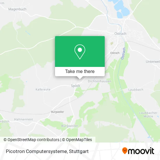
See Picotron Computersysteme, Ostrach, on the map
Public Transit to Picotron Computersysteme in Ostrach
Wondering how to get to Picotron Computersysteme in Ostrach? Moovit helps you find the best way to get to Picotron Computersysteme with step-by-step directions from the nearest public transit station.
Moovit provides free maps and live directions to help you navigate through your city. View schedules, routes, timetables, and find out how long does it take to get to Picotron Computersysteme in real time.
Looking for the nearest stop or station to Picotron Computersysteme? Check out this list of stops closest to your destination: Spöck Alter Schulweg; Spöck Ort; Burgweiler Bahnhof.
Bus: 104, 7558, 800, 7567, 449.Train: RB54, RB54.
Want to see if there’s another route that gets you there at an earlier time? Moovit helps you find alternative routes or times. Get directions from and directions to Picotron Computersysteme easily from the Moovit App or Website.
We make riding to Picotron Computersysteme easy, which is why over 1.5 million users, including users in Ostrach, trust Moovit as the best app for public transit. You don’t need to download an individual bus app or train app, Moovit is your all-in-one transit app that helps you find the best bus time or train time available.
For information on prices of bus and train, costs and ride fares to Picotron Computersysteme, please check the Moovit app.
Use the app to navigate to popular places including to the airport, hospital, stadium, grocery store, mall, coffee shop, school, college, and university.
Picotron Computersysteme Address: Obere Breite 16 Spöck, 88356 Ostrach street in Ostrach
- Kreuz,
- Ferienhaus Reis,
- Am Tischler,
- Leute,
- Outfly,
- Wimatec Mattes,
- Arnoldsberg,
- Strahltechnik Robert Bassemir,
- Ruhl GmbH & Co,
- Burgweiler,
- Volkwein,
- Burgweiler,
- Hfm Modell- Und Formenbau Gmbh,
- Sonnenstraelen,
- Nhw 3d Gmbh I.L.,
- Oberländer Edelbrände,
- Prana-Tec,
- Plasto Composite,
- Sabrina Stein,
- Kalkreute
Places Near Picotron Computersysteme (Ostrach)
- Porsche Museum, Zuffenhausen,
- Mercedes-Benz Museum, Bad Cannstatt,
- Geilhaus Haus 33a, Reutlingen-Betzingen,
- Wilhelma (U-Bahn Wilhelma), Bad Cannstatt,
- Marmorsaal Im Weissenburgpark, Stuttgart-Süd,
- Pariser Platz Stuttgart, Stuttgart-Mitte,
- FlixBus Haltestelle, Stuttgart,
- Gleis 101/102 (tief), Stuttgart-Mitte,
- Hanns-Martin-Schleyer-Halle (Stuttgart Hans-Martin-Schleyerhalle), Bad Cannstatt,
- Waldfriedhof, Degerloch,
- SI-Centrum, Möhringen,
- Hanns-Martin-Schleyer-Halle, Bad Cannstatt,
- Schleyerhalle, Bad Cannstatt,
- Gasometer Pforzheim, Pforzheim,
- Mercedes-Benz Museum (Mercedes Museum Stuttgart), Bad Cannstatt,
- Hauptbahnhof Stuttgart, Stuttgart-Mitte,
- Mettingen Eros-Center Puff Laufhaus, Esslingen Am Neckar,
- Porsche-Arena, Bad Cannstatt,
- Im Wizemann (Halle), Bad Cannstatt,
- Klinikum Stuttgart - Katharinenhospital, Stuttgart-Mitte
How to get to popular places in Stuttgart with public transit
Get around Ostrach by public transit!
Traveling around Ostrach has never been so easy. See step by step directions as you travel to any attraction, street or major public transit station. View bus and train schedules, arrival times, service alerts and detailed routes on a map, so you know exactly how to get to anywhere in Ostrach.
When traveling to any destination around Ostrach use Moovit's Live Directions with Get Off Notifications to know exactly where and how far to walk, how long to wait for your line, and how many stops are left. Moovit will alert you when it's time to get off — no need to constantly re-check whether yours is the next stop.
Wondering how to use public transit in Ostrach or how to pay for public transit in Ostrach? Moovit public transit app can help you navigate your way with public transit easily, and at minimum cost. It includes public transit fees, ticket prices, and costs. Looking for a map of Ostrach public transit lines? Moovit public transit app shows all public transit maps in Ostrach with all Bus, Train, Subway, Light Rail, Ferry, S-Bahn and Funicular routes and stops on an interactive map.
Stuttgart has 7 transit type(s), including: Bus, Train, Subway, Light Rail, Ferry, S-Bahn and Funicular, operated by several transit agencies, including SSB - Stadtbahn, SSB, SSB - Seilbahn / Zacke, S-Bahn Stuttgart, Rhein-Neckar-Verkehr GmbH (rnv), Karlsruher Verkehrsverbund, DB AG, DB Regiobus BW, Arverio Baden-Württemberg GmbH, DB RegioNetz Verkehrs GmbH Westfrankenbahn, DB Regio AG Baden-Württemberg, Südwestdeutsche Verkehrs-AG, DB Regio AG Mitte Region Hessen, DB and Bodensee-Oberschwaben-Bahn