How to get to Pioit by bus?
Click on the bus route to see step by step directions with maps, line arrival times and updated time schedules.
Bus stops near Pioit in Dresden
- Dessau, Waldersee, Wittenberger Str., 6 min walk,VIEW
Light Rail stations near Pioit in Dresden
Train station near Pioit in Dresden
- Dessau Hbf, 17 min walk,VIEW
Bus lines to Pioit in Dresden
What are the closest stations to Pioit?
The closest stations to Pioit are:
- Dessau, Waldersee, Wittenberger Str. is 445 meters away, 6 min walk.
- Dessau, August-Bebel-Platz/Stadtschwimmhalle is 475 meters away, 7 min walk.
- Dessau, Amalienstr. is 833 meters away, 11 min walk.
- Dessau Hbf is 1282 meters away, 17 min walk.
Which bus lines stop near Pioit?
These bus lines stop near Pioit: 11, 13, 16, 304, 481.
What’s the nearest light rail station to Pioit in Dresden?
The nearest light rail station to Pioit in Dresden is Dessau, August-Bebel-Platz/Stadtschwimmhalle. It’s a 7 min walk away.
What’s the nearest train station to Pioit in Dresden?
The nearest train station to Pioit in Dresden is Dessau Hbf. It’s a 17 min walk away.
What’s the nearest bus station to Pioit in Dresden?
The nearest bus station to Pioit in Dresden is Dessau, Waldersee, Wittenberger Str.. It’s a 6 min walk away.
What time is the first light rail to Pioit in Dresden?
The 3 is the first light rail that goes to Pioit in Dresden. It stops nearby at 4:35 AM.
What time is the last light rail to Pioit in Dresden?
The 1 is the last light rail that goes to Pioit in Dresden. It stops nearby at 8:35 PM.
What time is the first train to Pioit in Dresden?
The RE13 is the first train that goes to Pioit in Dresden. It stops nearby at 3:58 AM.
What time is the last train to Pioit in Dresden?
The RE7 is the last train that goes to Pioit in Dresden. It stops nearby at 12:53 AM.
What time is the first bus to Pioit in Dresden?
The 13 is the first bus that goes to Pioit in Dresden. It stops nearby at 4:35 AM.
What time is the last bus to Pioit in Dresden?
The N4 is the last bus that goes to Pioit in Dresden. It stops nearby at 12:19 AM.
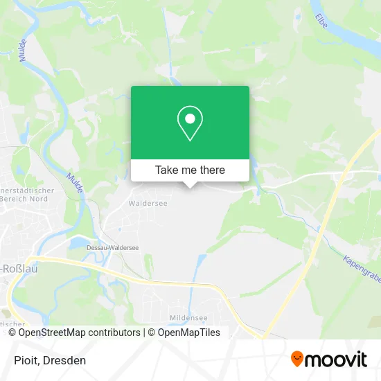
See Pioit, Dresden, on the map
Public Transit to Pioit in Dresden
Wondering how to get to Pioit in Dresden? Moovit helps you find the best way to get to Pioit with step-by-step directions from the nearest public transit station.
Moovit provides free maps and live directions to help you navigate through your city. View schedules, routes, timetables, and find out how long does it take to get to Pioit in real time.
Looking for the nearest stop or station to Pioit? Check out this list of stops closest to your destination: Dessau; Dessau; Dessau; Dessau Hbf.
Bus: 11, 13, 16, 304, 481, 15, N4.Train: 56, DWE, RB50, RB50, RB51.
Want to see if there’s another route that gets you there at an earlier time? Moovit helps you find alternative routes or times. Get directions from and directions to Pioit easily from the Moovit App or Website.
We make riding to Pioit easy, which is why over 1.5 million users, including users in Dresden, trust Moovit as the best app for public transit. You don’t need to download an individual bus app or train app, Moovit is your all-in-one transit app that helps you find the best bus time or train time available.
For information on prices of bus, train and light rail, costs and ride fares to Pioit, please check the Moovit app.
Use the app to navigate to popular places including to the airport, hospital, stadium, grocery store, mall, coffee shop, school, college, and university.
Pioit Address: Wilhelm-Feuerherdt-Straße 138 Waldersee, 06844 Dessau-Roßlau street in Dresden
- Von Bodenhausen,
- Gedenkstein 1914-18,
- Gls Paketshop,
- Naundorf,
- Autohaus Gebler,
- Pension Ausspannhof,
- Bauhausstadt Dessau,
- Gutshaus,
- Waldersee,
- Animoments Photodesignani,
- Klaus-Dieter Hannemann Metallbau,
- Jens Home,
- Kathrin Toepfer,
- Schwalbennest,
- Junkerssiedlung,
- Fachverband Shk Sachsen-Anhalt,
- Barthel Heizung-Sanitär,
- Dipl. Med. Andrea Pohl,
- Signal Iduna Versicherung Karsten Müller,
- Forsthaus Leiner Berg
Places Near Pioit (Dresden)
- Amedia Hotel Dresden Elbpromenade, Dresden,
- Freilichtbühne Junge Garde, Dresden,
- Heinz-Steyer-Stadion, Dresden,
- Hans-Erlwein-Gymnasium, Dresden,
- Dresden, Hauptbahnhof (Strehlener Straße), Dresden,
- Ikea, Dresden,
- Schloß Übigau, Dresden,
- Krankenhaus St. Joseph-Stift, Dresden,
- Pfunds Molkerei, Dresden,
- Kaufpark Dresden-Nickern, Dresden,
- Biergarten "Gohliser Windmühle", Dresden,
- Oskarshausen, Freital,
- Dresden Hbf, Dresden,
- Carolaschlösschen, Dresden,
- Waldmax, Dresden,
- Altstadt, Dresden,
- Elbepark, Dresden,
- Schloss Pillnitz, Dresden,
- Weisser Hirsch, Dresden,
- Landschloß Zuschendorf, Pirna
How to get to popular places in Dresden with public transit
Get around Dresden by public transit!
Traveling around Dresden has never been so easy. See step by step directions as you travel to any attraction, street or major public transit station. View bus and train schedules, arrival times, service alerts and detailed routes on a map, so you know exactly how to get to anywhere in Dresden.
When traveling to any destination around Dresden use Moovit's Live Directions with Get Off Notifications to know exactly where and how far to walk, how long to wait for your line, and how many stops are left. Moovit will alert you when it's time to get off — no need to constantly re-check whether yours is the next stop.
Wondering how to use public transit in Dresden or how to pay for public transit in Dresden? Moovit public transit app can help you navigate your way with public transit easily, and at minimum cost. It includes public transit fees, ticket prices, and costs. Looking for a map of Dresden public transit lines? Moovit public transit app shows all public transit maps in Dresden with all Bus, Train, Light Rail, Ferry, Cable Car and Gondola routes and stops on an interactive map.
Dresden has 6 transit type(s), including: Bus, Train, Light Rail, Ferry, Cable Car and Gondola, operated by several transit agencies, including Trilex, DB AG - S-Bahn, DVB AG, alita, RVSOE, Müller.Bus.Reisen, SATRA Eberhardt, VGM, RBO, DB AG, MRB, SDG, Sächsisch-Oberlausitzer Eisenbahngesellschaft, DB Fernverkehr (Codesharing) and Hanseatische Eisenbahn GmbH