How to get to Platanitos by bus?
Click on the bus route to see step by step directions with maps, line arrival times and updated time schedules.
From Caquetá Perú, Rimac
25 minFrom Larcomar, Miraflores
32 minFrom Coliseo Internacional Puno, Ate
35 minFrom Municipalidad de Santa Anita, Santa Anit
48 minFrom Paradero Pilas, Independen
30 minFrom Estación Plaza Lima Sur - Metropolitano, Chorrillos
52 minFrom Paradero Colectivos a Chosica (Santa Anita), Ate
42 minFrom Av El Derby 254 Santiago de Surco, Santiago D
37 minFrom Senati, Independen
43 min
Bus stops near Platanitos in Jesus Mari
Bus lines to Platanitos in Jesus Mari
- 1207, Santa María (San Juan De Lurigancho) - La Paz (San Miguel),VIEW
- 1045, Mercado (Magdalena Del Mar) - Huáscar (San Juan De Lurigancho),VIEW
- 1087, Alameda Sur (Chorrillos) - 28 De Julio (Jesús María),VIEW
- 1179, Miramar (Ancón) - Upc (Santiago De Surco),VIEW
- 1272, Minka (Callao) - Santa Marta (Santa Anita),VIEW
- 1293, José Gálvez (Pachacamac) - Mi Perú (Ventanilla),VIEW
- EXPRESO 1, Periferia San Isidro,VIEW
- EXPRESO 2, San Isidro,VIEW
- 201, Ovalo La Perla (Callao) - Ceres (Ate),VIEW
- 206, Alameda Del Corregidor (La Molina) - San Marcos (San Miguel),VIEW
- 209, San Marcos (San Miguel) - Tagore (Ate),VIEW
- 1473, S.J.L. - Magdalena,VIEW
What are the closest stations to Platanitos?
The closest stations to Platanitos are:
- Marconi is 56 meters away, 1 min walk.
- Upc Salaverry / Cádiz is 149 meters away, 3 min walk.
- Calle Burgos 595 is 291 meters away, 4 min walk.
- Avenida Guillermo Prescott 498 is 313 meters away, 5 min walk.
- Salaverry is 563 meters away, 8 min walk.
- Cc San Felipe is 630 meters away, 9 min walk.
Which bus lines stop near Platanitos?
These bus lines stop near Platanitos: 1045, 1087, 1179, 1207, 1272.
What’s the nearest bus station to Platanitos in Jesus Mari?
The nearest bus station to Platanitos in Jesus Mari is Marconi. It’s a 1 min walk away.
What time is the first bus to Platanitos in Jesus Mari?
The 1272 is the first bus that goes to Platanitos in Jesus Mari. It stops nearby at 4:52 AM.
What time is the last bus to Platanitos in Jesus Mari?
The 1272 is the last bus that goes to Platanitos in Jesus Mari. It stops nearby at 12:33 AM.
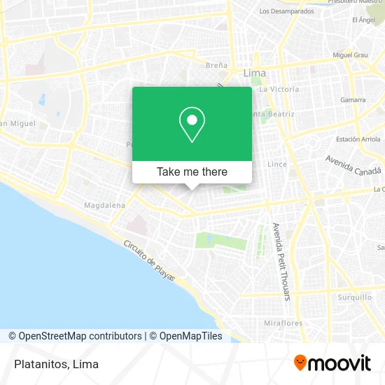
See Platanitos, Jesus Mari, on the map
Public Transit to Platanitos in Jesus Mari
Wondering how to get to Platanitos in Jesus Mari? Moovit helps you find the best way to get to Platanitos with step-by-step directions from the nearest public transit station.
Moovit provides free maps and live directions to help you navigate through your city. View schedules, routes, timetables, and find out how long does it take to get to Platanitos in real time.
Looking for the nearest stop or station to Platanitos? Check out this list of stops closest to your destination: Marconi; Upc Salaverry / Cádiz; Calle Burgos 595; Avenida Guillermo Prescott 498; Salaverry; Cc San Felipe.
Bus: 1045, 1087, 1179, 1207, 1272, 1293, EXPRESO 1, EXPRESO 2, 201, 206, 209, 1473.
Want to see if there’s another route that gets you there at an earlier time? Moovit helps you find alternative routes or times. Get directions from and directions to Platanitos easily from the Moovit App or Website.
We make riding to Platanitos easy, which is why over 1.5 million users, including users in Jesus Mari, trust Moovit as the best app for public transit. You don’t need to download an individual bus app or train app, Moovit is your all-in-one transit app that helps you find the best bus time or train time available.
For information on prices of bus, costs and ride fares to Platanitos, please check the Moovit app.
Use the app to navigate to popular places including to the airport, hospital, stadium, grocery store, mall, coffee shop, school, college, and university.
Platanitos Address: Avenida Gral. Salaverry Jesús María, Lima, 15076 street in Jesus Mari
- Saga Falabella,
- Joaquím Miro,
- Quality Products - Tienda oficial de las Ventas por TV,
- Banco Falabella - CC Real Plaza Salaverry,
- Crepier Stores CC Real Plaza Salaverry,
- Banco de Crédito - BCP Oficina C.C. Real Plaza Salaverry,
- Adolfo Dominguez - Real Plaza Salaverry,
- Sport Pacific Representaciones S.A,
- AV SALAVERRY 2415 OFICINA 204 SAN ISIDRO,
- Ripley Salaverry,
- AV SALAVERRY 2409,
- Leonisa,
- Isadora Perú,
- McDonald's,
- Pinkberry Perú,
- Pokeshop Peru,
- Totto Perú - Cc. Real Plaza Salaverry,
- MAC,
- Falabella,
- Residencial San Felipe - Edificio El Jacarandá
Places Near Platanitos (Jesus Mari)
- Pontificia Universidad Católica del Perú - PUCP, San Miguel,
- Circuito Mágico Del Agua, Lima,
- Centro Comercial Plaza Norte, Independen,
- av arequipa, Lima,
- Hospital Edgardo Rebagliati Martins, Jesus Mari,
- Aeropuerto Internacional Jorge Chávez, Ventanilla,
- Miraflores, Miraflores,
- Barranco, Barranco,
- Av. Abancay, Lima,
- Parque Kennedy, Miraflores,
- Parque de las Leyendas, San Miguel,
- Plaza San Miguel, San Miguel,
- Jockey Plaza, Santiago D,
- Paradero Av.Brasil,
- Gamarra,
- Larcomar, Miraflores,
- Real Plaza Puruchuco, Ate,
- Av. La Marina, San Miguel,
- Mall Del Sur,
- Av. Salaverry, Jesus Mari
How to get to popular places in Lima with public transit
Get around Jesus Mari by public transit!
Traveling around Jesus Mari has never been so easy. See step by step directions as you travel to any attraction, street or major public transit station. View bus and train schedules, arrival times, service alerts and detailed routes on a map, so you know exactly how to get to anywhere in Jesus Mari.
When traveling to any destination around Jesus Mari use Moovit's Live Directions with Get Off Notifications to know exactly where and how far to walk, how long to wait for your line, and how many stops are left. Moovit will alert you when it's time to get off — no need to constantly re-check whether yours is the next stop.
Wondering how to use public transit in Jesus Mari or how to pay for public transit in Jesus Mari? Moovit public transit app can help you navigate your way with public transit easily, and at minimum cost. It includes public transit fees, ticket prices, and costs. Looking for a map of Jesus Mari public transit lines? Moovit public transit app shows all public transit maps in Jesus Mari with all Bus, Metro and Ferry routes and stops on an interactive map.
Lima has 3 transit type(s), including: Bus, Metro and Ferry, operated by several transit agencies, including Metro de Lima Línea 2 , Metro de Lima, Corredor Rojo, Metropolitano, Metropolitano - Alimentadores, Corredor Morado, Corredor Azul, Rutas Tradicionales, Transportes y Servicios La Esperanza S.A., Las Flores S.A., Virgen de la Asunción S.A., Consorcio HAM, Transportes y Service Canadá S.A., ETUL4SA and ETUCHISA