Directions to Play For Autism (Queens) with public transportation
The following transit lines have routes that pass near Play For Autism
 Bus: Q11, Q47, Q52-SBS, Q53-SBS, Q54.
- Train: BABYLON BRANCH, LONG BEACH BRANCH, CITY TERMINAL ZONE, FAR ROCKAWAY BRANCH, HEMPSTEAD BRANCH.
- Subway: J, M, R, E, F.
How to get to Play For Autism by bus?
Click on the bus route to see step by step directions with maps, line arrival times and updated time schedules.
From Northern Blvd, Queens
61 minFrom Bayside, Queens
79 minFrom East 90th Street Ferry Terminal, Manhattan
91 minFrom 30-56 Whitestone Expwy, Queens
81 minFrom Saint Albans, NY, Queens
53 minFrom Tisch Hospital, Manhattan
82 minFrom JFK Building 141, Queens
57 minFrom Bellevue Hospital Center, Manhattan
84 min
How to get to Play For Autism by train?
Click on the train route to see step by step directions with maps, line arrival times and updated time schedules.
How to get to Play For Autism by subway?
Click on the subway route to see step by step directions with maps, line arrival times and updated time schedules.
Bus stops near Play For Autism in Queens
Subway stations near Play For Autism in Queens
Train station near Play For Autism in Queens
- Forest Hills, 36 min walk,VIEW
Bus lines to Play For Autism in Queens
- Q54, Willamsburg Bridge Plaza,VIEW
- BM5, Spring Creek Seaview Av Via Linden Bl Via Penn Av,VIEW
- Q11, Old Howard Beach Hamilton Beach,VIEW
- QM15, Midtown 57 St Via 6 Av,VIEW
- Q52-SBS, +Select Bus Elmhurst,VIEW
- Q53-SBS, +Select Bus Rockaway Park Beach 116 St,VIEW
- Q47, Glendale,VIEW
- QM12, Midtown 57 St Via 6 Av,VIEW
- Q23, East Elmhurst Ditmars Bl Via 108 St,VIEW
- QM42, East Midtown 55 St Via 3 Av,VIEW
- Q29, Jackson Heights,VIEW
What are the closest stations to Play For Autism?
The closest stations to Play For Autism are:
- Cooper Av/84 St is 235 yards away, 3 min walk.
- Woodhaven Blvd/Metropolitan Av is 453 yards away, 6 min walk.
- Cooper Av/81 St is 514 yards away, 7 min walk.
- Metropolitan Av/Woodhaven Blvd is 516 yards away, 7 min walk.
- 67 Av is 556 yards away, 7 min walk.
- 80 St/Cooper Av is 857 yards away, 11 min walk.
- Woodhaven Blvd is 947 yards away, 12 min walk.
- Forest Hills is 3059 yards away, 36 min walk.
Which bus lines stop near Play For Autism?
These bus lines stop near Play For Autism: Q11, Q47, Q52-SBS, Q53-SBS, Q54.
Which train lines stop near Play For Autism?
These train lines stop near Play For Autism: BABYLON BRANCH, LONG BEACH BRANCH.
Which subway lines stop near Play For Autism?
These subway lines stop near Play For Autism: J, M, R.
What’s the nearest subway station to Play For Autism in Queens?
The nearest subway station to Play For Autism in Queens is 67 Av. It’s a 7 min walk away.
What’s the nearest bus station to Play For Autism in Queens?
The nearest bus station to Play For Autism in Queens is Cooper Av/84 St. It’s a 3 min walk away.
What time is the first subway to Play For Autism in Queens?
The J is the first subway that goes to Play For Autism in Queens. It stops nearby at 3:00 AM.
What time is the last subway to Play For Autism in Queens?
The F is the last subway that goes to Play For Autism in Queens. It stops nearby at 4:01 AM.
What time is the first train to Play For Autism in Queens?
The BABYLON BRANCH is the first train that goes to Play For Autism in Queens. It stops nearby at 3:00 AM.
What time is the last train to Play For Autism in Queens?
The BABYLON BRANCH is the last train that goes to Play For Autism in Queens. It stops nearby at 3:00 AM.
What time is the first bus to Play For Autism in Queens?
The Q54 is the first bus that goes to Play For Autism in Queens. It stops nearby at 3:10 AM.
What time is the last bus to Play For Autism in Queens?
The Q11 is the last bus that goes to Play For Autism in Queens. It stops nearby at 3:22 AM.
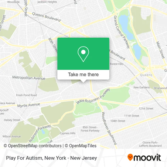
See Play For Autism, Queens, on the map
Public Transit to Play For Autism in Queens
Wondering how to get to Play For Autism in Queens? Moovit helps you find the best way to get to Play For Autism with step-by-step directions from the nearest public transit station.
Moovit provides free maps and live directions to help you navigate through your city. View schedules, routes, timetables, and find out how long does it take to get to Play For Autism in real time.
Looking for the nearest stop or station to Play For Autism? Check out this list of stops closest to your destination: Cooper Av/84 St; Woodhaven Blvd/Metropolitan Av; Cooper Av/81 St; Metropolitan Av/Woodhaven Blvd; 67 Av; 80 St/Cooper Av; Woodhaven Blvd; Forest Hills.
Bus: Q11, Q47, Q52-SBS, Q53-SBS, Q54, BM5, QM15, QM12, Q23, QM42.Train: BABYLON BRANCH, LONG BEACH BRANCH, CITY TERMINAL ZONE, FAR ROCKAWAY BRANCH, HEMPSTEAD BRANCH.Subway: J, M, R, E, F, Z.
Want to see if there’s another route that gets you there at an earlier time? Moovit helps you find alternative routes or times. Get directions from and directions to Play For Autism easily from the Moovit App or Website.
We make riding to Play For Autism easy, which is why over 1.5 million users, including users in Queens, trust Moovit as the best app for public transit. You don’t need to download an individual bus app or train app, Moovit is your all-in-one transit app that helps you find the best bus time or train time available.
For information on prices of bus, subway, train and ferry, costs and ride fares to Play For Autism, please check the Moovit app.
Use the app to navigate to popular places including to the airport, hospital, stadium, grocery store, mall, coffee shop, school, college, and university.
Play For Autism Address: 88-11 Doran Ave street in Queens
- 88th St at Aubrey Ave,
- Shaima's Unisex Beauty Salon,
- Yerman's Irish Pub (Yer Man's Irish Pub),
- Ode International Trading Corp,
- Ntk,
- Meta Dental Corporation,
- Expedite Trucking Llc,
- Ez Short Sales,
- Glendale Community Garden,
- Skylux Patios,
- Genesis Renal Care Dialysis,
- Main Street Radiology,
- Cooper Ave (cooper ave 84th),
- Manor Oktoberfest,
- Atco Properties & Management,
- Glendale Broadway Stages,
- Tazzina,
- Stop and Stor,
- Prestigious Maintenance Inc.,
- Chili's Grill & Bar
Places Near Play For Autism (Queens)
- 111 Centre New York City Supreme Court, Manhattan,
- Hudson Yards, Manhattan,
- Katz's Deli, Manhattan,
- Mountainside Hospital, Glen Ridge,
- 26 Federal Plaza, Manhattan,
- SoHo, Manhattan,
- 911 Memorial, Manhattan,
- 1 Police Plaza, Manhattan,
- Bellevue Hospital, Manhattan,
- San Gennaro Feast, Manhattan,
- Queens Center Mall, Queens,
- Rockefeller Center, Manhattan,
- Pier 83, Manhattan,
- Chinatown, Manhattan,
- qqqq, Manhattan,
- 66 John Street, Manhattan,
- 3 Stone St, Manhattan,
- Times Square, Manhattan,
- Wall Street, Manhattan,
- 376 Hudson Street, Manhattan
How to get to popular places in New York - New Jersey with public transit
Get around Queens by public transit!
Traveling around Queens has never been so easy. See step by step directions as you travel to any attraction, street or major public transit station. View bus and train schedules, arrival times, service alerts and detailed routes on a map, so you know exactly how to get to anywhere in Queens.
When traveling to any destination around Queens use Moovit's Live Directions with Get Off Notifications to know exactly where and how far to walk, how long to wait for your line, and how many stops are left. Moovit will alert you when it's time to get off — no need to constantly re-check whether yours is the next stop.
Wondering how to use public transit in Queens or how to pay for public transit in Queens? Moovit public transit app can help you navigate your way with public transit easily, and at minimum cost. It includes public transit fees, ticket prices, and costs. Looking for a map of Queens public transit lines? Moovit public transit app shows all public transit maps in Queens with all Bus, Train, Subway, Light Rail, Ferry and Cable Car routes and stops on an interactive map.
New York - New Jersey has 6 transit type(s), including: Bus, Train, Subway, Light Rail, Ferry and Cable Car, operated by several transit agencies, including MTA Subway, Metro-North Railroad, LIRR, PATH, MTA New York City Transit - Express routes, MTA Bus, NJ Transit, NYC Ferry, NICE bus, Bee-Line Bus, NJ Transit Rail, Norwalk Transit District, Hartford Line, River Valley Transit and HART