Directions to Batignano Farm (Civitella Paganico) with public transportation
The following transit lines have routes that pass near Batignano Farm
 Train: R.
Train station near Batignano Farm in Civitella Paganico
- Monte Antico, 32 min walk,VIEW
- Le Caldine,
- Gello,
- Amaryllis 3,
- La Mandrie,
- Poggio Al Gello,
- Val Di Bottoli Farm,
- Art and Garden,
- Monte Antico Castle,
- Belvedere,
- Monte Antico Scalo,
- Vezzo,
- Poggio Al Nibbio,
- Case Salvine,
- Poggio Delle Capannelle,
- Pievanella Farm,
- Casetta Marsili,
- Saint Lucy,
- Trillo Field,
- Campo A Iesa,
- Customs
Places Near Batignano Farm (Civitella Paganico)
- Tobacco Manufacture, Florence,
- Santa Maria Nuova Hospital, Florence,
- Piero Palagi Hospital Facility-Florence, Florence,
- Mandela Forum (Nelson Mandela Forum), Florence,
- Torregalli Hospital Scandicci *, Scandicci,
- Artemio Franchi Municipal Stadium, Florence,
- Verdi Theater, Florence,
- Asmana, Campi Bisenzio,
- Santa Maria Novella Station, Florence,
- OOO, Florence,
- I Gigli, Campi Bisenzio,
- Visarno Arena, Florence,
- Visarno Hippodrome, Florence,
- IKEA Florence, Sesto Fiorentino,
- Michelangelo Square, Florence,
- Michelangelo Square, Florence,
- Cascine Park, Florence,
- Field of Mars, Florence,
- Nelson Mandela Forum, Florence,
- Campi Bisenzio, Campi Bisenzio
How to get to popular places in Florence with public transit
What are the closest stations to Batignano Farm?
The closest stations to Batignano Farm are:
- Monte Antico is 2525 meters away, 32 min walk.
Which train line stops near Batignano Farm?
R (Grosseto)
What time is the first train to Batignano Farm in Civitella Paganico?
The R is the first train that goes to Batignano Farm in Civitella Paganico. It stops nearby at 6:51 AM.
What time is the last train to Batignano Farm in Civitella Paganico?
The R is the last train that goes to Batignano Farm in Civitella Paganico. It stops nearby at 8:49 PM.
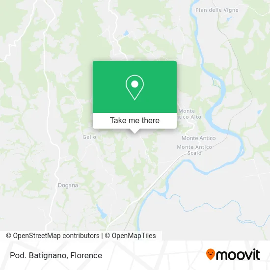
See Batignano Farm, Civitella Paganico, on the map
Public Transit to Batignano Farm in Civitella Paganico
Wondering how to get to Batignano Farm in Civitella Paganico? Moovit helps you find the best way to get to Batignano Farm with step-by-step directions from the nearest public transit station.
Moovit provides free maps and live directions to help you navigate through your city. View schedules, routes, timetables, and find out how long does it take to get to Batignano Farm in real time.
Looking for the nearest stop or station to Batignano Farm? Check out this list of stops closest to your destination: Monte Antico.
Train: R.
Want to see if there’s another route that gets you there at an earlier time? Moovit helps you find alternative routes or times. Get directions from and directions to Batignano Farm easily from the Moovit App or Website.
We make riding to Batignano Farm easy, which is why over 1.5 million users, including users in Civitella Paganico, trust Moovit as the best app for public transit. You don’t need to download an individual bus app or train app, Moovit is your all-in-one transit app that helps you find the best bus time or train time available.
For information on prices of bus and train, costs and ride fares to Batignano Farm, please check the Moovit app.
Use the app to navigate to popular places including to the airport, hospital, stadium, grocery store, mall, coffee shop, school, college, and university.
Location: Civitella Paganico, Florence
Get around Civitella Paganico by public transit!
Traveling around Civitella Paganico has never been so easy. See step by step directions as you travel to any attraction, street or major public transit station. View bus and train schedules, arrival times, service alerts and detailed routes on a map, so you know exactly how to get to anywhere in Civitella Paganico.
When traveling to any destination around Civitella Paganico use Moovit's Live Directions with Get Off Notifications to know exactly where and how far to walk, how long to wait for your line, and how many stops are left. Moovit will alert you when it's time to get off — no need to constantly re-check whether yours is the next stop.
Wondering how to use public transit in Civitella Paganico or how to pay for public transit in Civitella Paganico? Moovit public transit app can help you navigate your way with public transit easily, and at minimum cost. It includes public transit fees, ticket prices, and costs. Looking for a map of Civitella Paganico public transit lines? Moovit public transit app shows all public transit maps in Civitella Paganico with all Bus, Train, Light Rail, Ferry and Funicular routes and stops on an interactive map.
Florence has 5 transit type(s), including: Bus, Train, Light Rail, Ferry and Funicular, operated by several transit agencies, including Florence Urban - Tuscan Bus Lines, GEST, Livorno and Province - Tuscan Bus Lines, Arezzo, Florence and Provinces - Tuscan Bus Lines, Prato and Province - Tuscan Bus Lines, Lucca and Province - Tuscan Bus Lines, Massa, Carrara and Province - Tuscan Bus Lines, Pisa and Province - Tuscan Bus Lines, Grosseto, Siena and Provinces - Tuscan Bus Lines, Arezzo, Siena and Provinces - Tuscan Bus Lines, Florence and Province - Tuscan Bus Lines, Pistoia and Province - Tuscan Bus Lines, Siena and Province - Tuscan Bus Lines, Arezzo and Province - Tuscan Bus Lines and Trenitalia